- Vandoncourt
French commune
nomcommune=Vandoncourt
caption=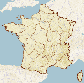
x=221
y=113
lat_long=coord|47|28|04|N|6|54|07|E|region:FR_type:city
insee=25586
cp=25230
région=Franche-Comté
département=Doubs
arrondissement=Montbéliard
canton=Hérimoncourt
maire=Pierre Vernier
mandat=2001-2008
intercomm=Pays de Montbéliard
alt mini=370
alt maxi=611 m
km²=8.57
sans=790
date-sans=
dens=|Vandoncourt is a commune in the
Doubs department in the region ofFranche-Comté in easternFrance .Geography
Vandoncourt lies 4.5 km southeast of
Hérimoncourt and 7 km from the Swiss border. It occupies a transitional position between theVosges Mountains andAlsace to the north and theJura mountains on the south, Switzerland on the east and the plain of theSaône River on the west.It is perched on a high plateau, which dominates the region.
Demographics
ee also
*
Communes of the Doubs department References
* [http://www.insee.fr/en/home/home_page.asp INSEE] en icon
* [http://www.ign.fr/rubrique.asp?rbr_id=1&lng_id=EN IGN] en icon
* [http://www.routedescommunes.com/departement-25-commune-546.html Vandoncourt on the regional Web site] fr icon
Wikimedia Foundation. 2010.