- Montussaint
-
Montussaint

 MontussaintLocation within Franche-Comté region
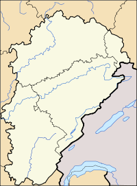 Montussaint
Administration Country France Region Franche-Comté Department Doubs Arrondissement Besançon Canton Rougemont Intercommunality Pays de Rougemont Mayor Monique Houillon
(2008–2014)Statistics Elevation 249–399 m (817–1,309 ft) Land area1 3.04 km2 (1.17 sq mi) Population2 68 (2008) - Density 22 /km2 (57 /sq mi) INSEE/Postal code 25408/ 25680 1 French Land Register data, which excludes lakes, ponds, glaciers > 1 km² (0.386 sq mi or 247 acres) and river estuaries. 2 Population without double counting: residents of multiple communes (e.g., students and military personnel) only counted once. Coordinates: 47°26′03″N 6°17′35″E / 47.4341666667°N 6.29305555556°E
Montussaint is a commune in the Doubs department in the Franche-Comté region in eastern France.
Contents
Geography
Montussaint lies 8 km (5.0 mi) from Rougemont on the boundary of the department of Haute-Saône in the valley of the Ognon. The Ognon forms the boundary between the two departments.
Population
Historical population of Montussaint 1962 1968 1975 1982 1990 1999 2008 74 92 67 65 58 55 68 See also
References
External links
Categories:- Communes of Doubs
- Doubs geography stubs


Wikimedia Foundation. 2010.