- Mount Buninyong
-
Mount Buninyong 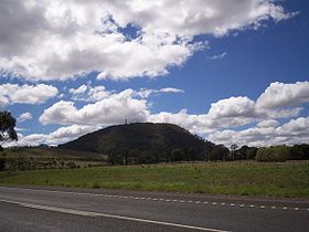
Mount BuninyongElevation 719 m (2,359 ft) AHD Listing List of volcanoes in Australia Location Buninyong, Australia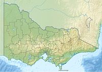
 Mount Buninyong
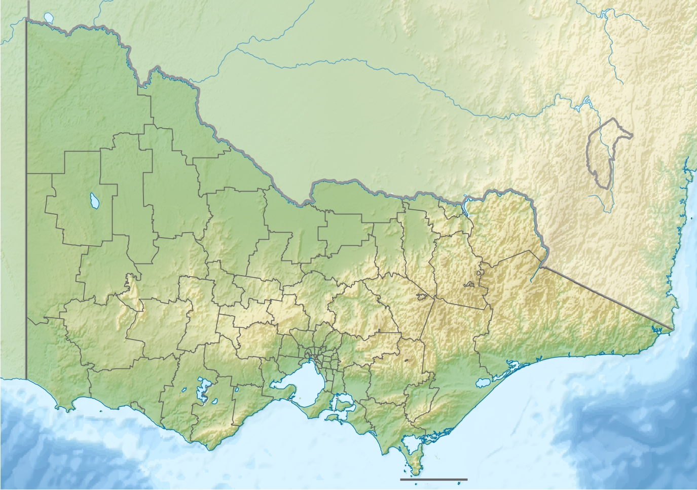
Coordinates 37°39′S 143°56′E / 37.65°S 143.933°ECoordinates: 37°39′S 143°56′E / 37.65°S 143.933°E Mount Buninyong is a hill overlooking Ballarat in Victoria, Australia. Formed from an extinct volcano, it rises to 719 metres (2,359 ft) above sea level. The mountain was originally named Mount Bonan Yowing which is said to derive from an Aboriginal word meaning a man lying on his back with his knee raised[citation needed]. It was from the peak that Thomas Learmonth and a group of squatters first viewed the Ballarat area in 1837.
Mount Buninyong, located in Buninyong is one of the more recognizable landmarks in the entire Goldfields region and is used as an antenna site for radio, TV and telephone equipment. The summit has been a minor tourist destination and picnic spot for over 140 years. The major part of the mountain was cleared for agriculture or housing, but widespread protests during the 1980s led to the preservation of native forest cover on much of the upper portion.
Contents
Climate
Total annual rainfall for the Mount Buninyong area is 779 millimetres (Mulconry 1990). During the colder months growing conditions are restricted. Severe frosts and snow fall occur during winter.
Soils
The soils of the mount are very fertile and the high permeability and available water capacity makes these soils very favourable for agriculture.
Heritage
The Keyeet balug clan of the Wada Wurrung (or Wathaurong) tribe occupied the Mount Buninyong area. An aboriginal burial site was located in the 1860s and more recently stone tools have been found (Centre for Environmental Management, CEM 1997). Mount Buninyong is seen as a significant site for the recognition of the ongoing connection of Aboriginal people with the land through creation stories and cultural sites and is an ideal site for interpreting Aboriginal cultural history. There have been no records of Aboriginal archaeological sites for Mount Buninyong. There is no evidence that the area has been surveyed. Aboriginal Affairs Victoria has recommended that a survey should take place (CEM 1997).
Mount Buninyong was an important navigation peak for the early colonisers heading west for pastoral occupation. Springs at the base of the Mount were important sites for early settlement (Mulconry 1990). Pound Creek Spring has remained as a public Water Reserve.
References
- Centre for Environmental Management. (1997). Mount Buninyong Scenic Reserve: Final Management Plan. City of Ballarat.
- Mulcondry, E. (1990). Draft Management Plan : Mount Buninyong Victoria. School of Biological & Chemical Sciences, Ballarat C.A.E.
Categories:- Ballarat
- Mountains of Victoria (Australia)
- Volcanoes of Victoria (Australia)
- Extinct volcanoes

Wikimedia Foundation. 2010.