- Coust
-
Coust

 Coust
CoustAdministration Country France Region Centre Department Cher Arrondissement Saint-Amand-Montrond Canton Charenton-du-Cher Intercommunality Berry charentonnais Mayor Philippe Aucouturier
(2008–2014)Statistics Elevation 153–247 m (502–810 ft)
(avg. 210 m/690 ft)Land area1 21.89 km2 (8.45 sq mi) Population2 465 (2008) - Density 21 /km2 (54 /sq mi) INSEE/Postal code 18076/ 18210 1 French Land Register data, which excludes lakes, ponds, glaciers > 1 km² (0.386 sq mi or 247 acres) and river estuaries. 2 Population without double counting: residents of multiple communes (e.g., students and military personnel) only counted once. Coordinates: 46°41′36″N 2°35′50″E / 46.6933333333°N 2.59722222222°E
Coust is a commune in the Cher department in the Centre region of France.
Contents
Geography
An area of farming and forestry comprising a village and several hamlets situated by the banks of both the Cher River and the small river Chignon some 26 miles (42 km) east of Bourges at the junction of the D1 with the D101 and the D2144 roads. The commune shares a border with the département of Allier.
Population
Historical population of Coust 1962 1968 1975 1982 1990 1999 2008 525 525 518 460 506 475 465 Places of interest
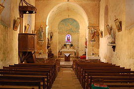
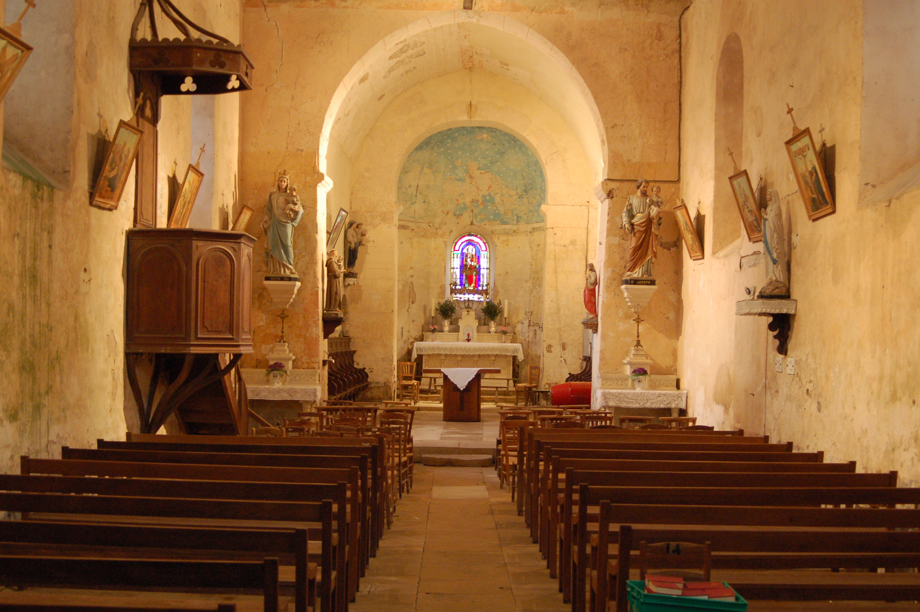
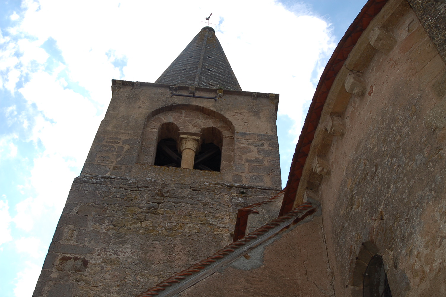
- The twelfth century church of Notre-Dame.
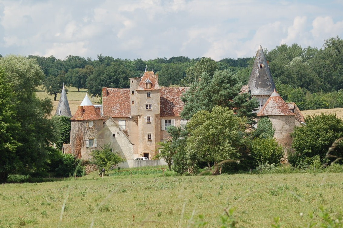
- The ruins of the fourteenth century castle of Le Creuzet.
- The remains of feudal fortifications at Meslon, and a dovecote.
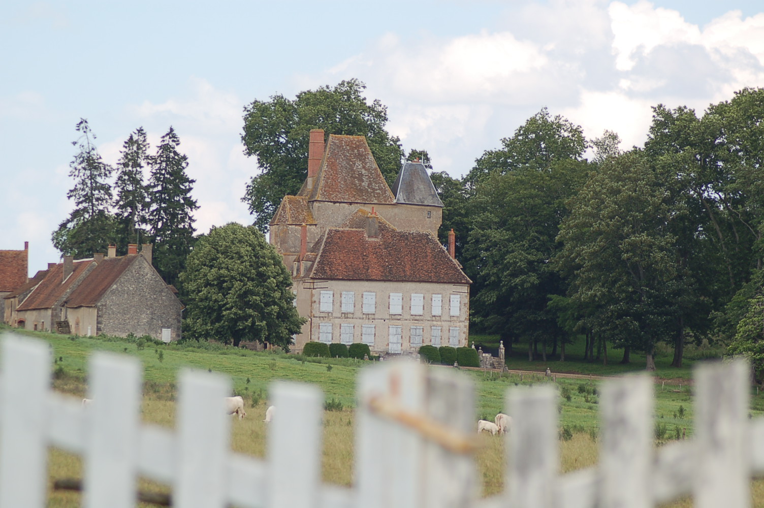
- The chateau of Bonnais, dating from the thirteenth century.
- Three old washhouses.
-
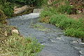
The Chignon river
-

The church tower
-
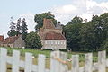
Château du Creuzet
-

Château de Bonnais
See also
References
External links
- Coust on the Quid website (French)
Categories:- Communes of Cher


Wikimedia Foundation. 2010.