- Mornay-sur-Allier
-
Mornay-Sur-Allier

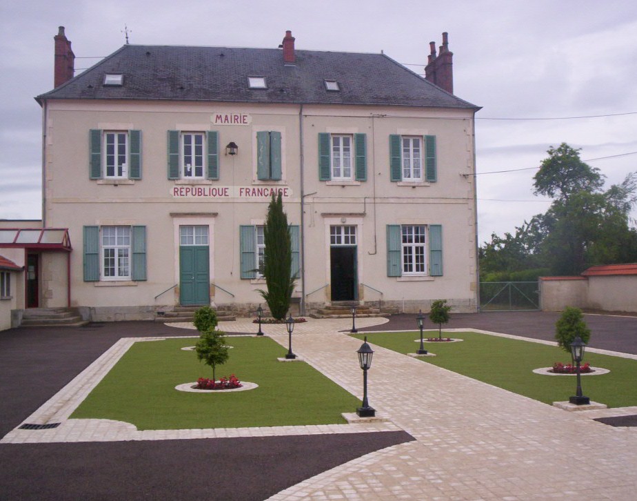
Town hall 
 Mornay-Sur-Allier
Administration Country France Region Centre Department Cher Arrondissement Saint-Amand-Montrond Canton Sancoins Mayor Bernard Lecoin
(2008–2014)Statistics Elevation 179–222 m (587–728 ft)
(avg. 200 m/660 ft)Land area1 21.62 km2 (8.35 sq mi) Population2 456 (2008) - Density 21 /km2 (54 /sq mi) INSEE/Postal code 18155/ 18600 1 French Land Register data, which excludes lakes, ponds, glaciers > 1 km² (0.386 sq mi or 247 acres) and river estuaries. 2 Population without double counting: residents of multiple communes (e.g., students and military personnel) only counted once. Coordinates: 46°49′11″N 3°01′47″E / 46.8197222222°N 3.02972222222°E
Mornay-Sur-Allier is a commune in the Cher department in the Centre region of France.
Contents
Geography
An area of lakes and streams, forestry and farming comprising the village and several hamlets situated by the banks of the river Allier, some 33 miles (53 km) southeast of Bourges, at the junction of the D45 and the D2076 roads. The commune borders the departments of Allier and Nièvre.
Population
Historical population of Mornay-sur-Allier 1962 1968 1975 1982 1990 1999 2008 425 438 403 394 407 440 456 Places of interest
- The church of St. Symphorien, dating from the twelfth century
See also
References
External links
- Annuaire Marie website (French)
- Mornay-Sur-Allier on the Quid website (French)
Categories:- Communes of Cher

Wikimedia Foundation. 2010.