- Marmagne, Cher
-
Marmagne

 Marmagne
Administration Country France Region Centre Department Cher Arrondissement Bourges Canton Saint-Doulchard Intercommunality Bourges Plus Mayor Aymar de Germay
(2008–2014)Statistics Elevation 113–149 m (371–489 ft)
(avg. 138 m/453 ft)Land area1 37.66 km2 (14.54 sq mi) Population2 2,003 (2008) - Density 53 /km2 (140 /sq mi) INSEE/Postal code 18138/ 18500 1 French Land Register data, which excludes lakes, ponds, glaciers > 1 km² (0.386 sq mi or 247 acres) and river estuaries. 2 Population without double counting: residents of multiple communes (e.g., students and military personnel) only counted once. Coordinates: 47°06′08″N 2°17′05″E / 47.1022222222°N 2.28472222222°E
Marmagne is a commune in the Cher department in the Centre region of France.
Contents
Geography
A farming area comprising a large village and several small hamlets situated by the banks of the Yèvre river and the canal de Berry, some 5 miles (8.0 km) west of Bourges at the junction of the D160, D214 and the D107 roads. The A71 autoroute cuts across the middle of the commune’s territory, which is also served by a TER railway.
Population
Historical population of Marmagne, Cher 1962 1968 1975 1982 1990 1999 2008 1319 1321 1684 1774 1908 1941 2003 Places of interest
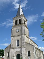
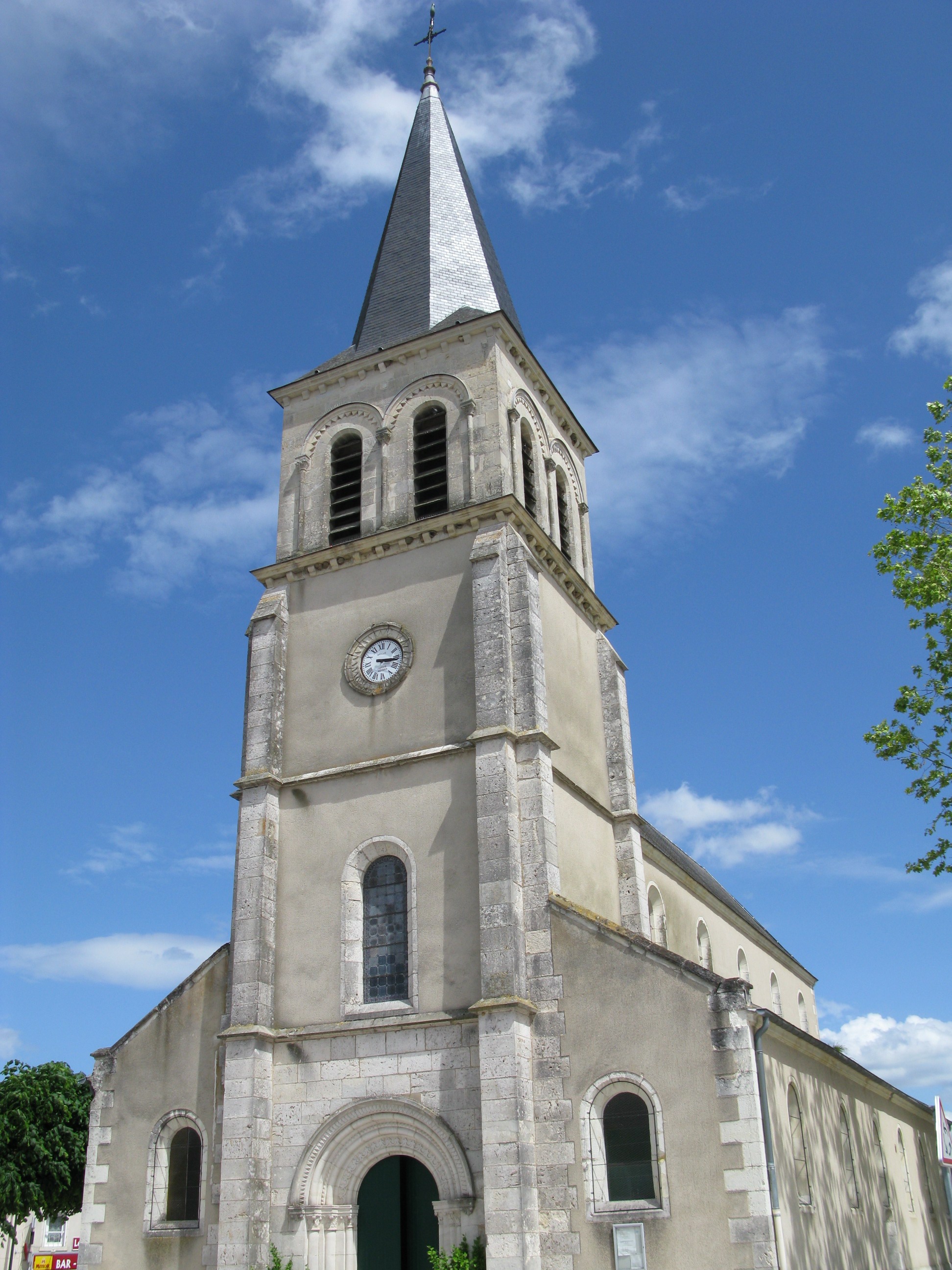
- The church of St. Denis, dating from the thirteenth century.
- Several seventeenth century buildings.
- The seventeenth century château de Marmagne.
- The thirteenth century abbey at Beauvoir.
See also
References
External links
- Marmagne on the Quid website (French)
Categories:- Communes of Cher

Wikimedia Foundation. 2010.