- Châteaumeillant
-
Châteaumeillant


 Châteaumeillant
Administration Country France Region Centre Department Cher Arrondissement Saint-Amand-Montrond Canton Châteaumeillant Mayor Guy Bergerault
(2008–2014)Statistics Elevation 212–388 m (696–1,273 ft)
(avg. 253 m/830 ft)Land area1 42.48 km2 (16.40 sq mi) Population2 2,082 (2008) - Density 49 /km2 (130 /sq mi) INSEE/Postal code 18057/ 18370 1 French Land Register data, which excludes lakes, ponds, glaciers > 1 km² (0.386 sq mi or 247 acres) and river estuaries. 2 Population without double counting: residents of multiple communes (e.g., students and military personnel) only counted once. Coordinates: 46°33′46″N 2°12′05″E / 46.5627777778°N 2.20138888889°E
Châteaumeillant is a commune in the Cher department in the Centre region of France.
Contents
Geography
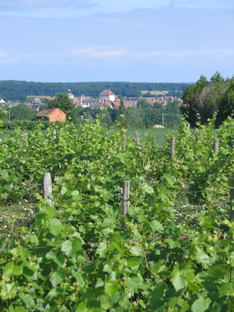
An area of winegrowing, farming and forestry comprising a small town and several hamlets situated in the valley of the small river Sinaise, some 40 miles (64 km) south of Bourges at the junction of the D943 with the D3 and the D70 roads.
Population
Historical population of Châteaumeillant 1962 1968 1975 1982 1990 1999 2008 2462 2528 2429 2186 2081 2058 2082 Places of interest
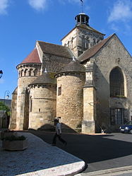
- The abbey church of St. Genès, dating from the twelfth century.
- A medieval castle.
- Other buildings, originally part of the abbey.
- The museum, dating from the fourteenth century.
- The eleventh century church of Notre-Dame.
 The vineyards of Châteaumeillant
See also
References
External links
- Official town website (French)
- Website of the winegrowing cooperative (French)
- Châteaumeillant on the Quid website (French)
Categories:- Communes of Cher


Wikimedia Foundation. 2010.