- Cher River
Infobox River | river_name = Cher
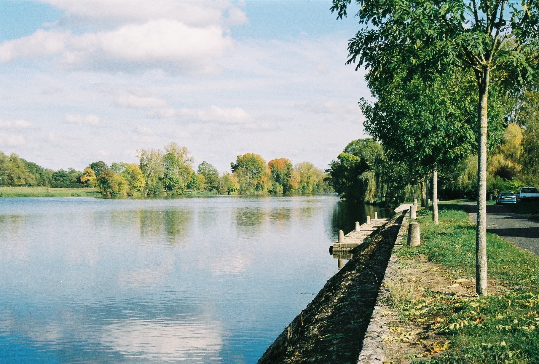
caption = Cher River
origin =Massif Central
mouth = Loire
coord|47|20|33|N|0|28|49|E|name=Loire-Cher|display=inline,title
basin_countries =France
length = 396 km
elevation = 762 m
discharge = 104 m³/s
watershed = 13,688 km²The Cher is ariver in centralFrance , left tributary to the river Loire. Its source is in theCreuse "département", north-east ofCrocq . It joins the river Loire inVillandry , west ofTours .The river suffered a devastating
flood in 1940, which damagedChâteau de Chenonceau , which spans the river, and other structures along the banks."Départements" and towns along the river:
*Creuse
*Allier :Montluçon
* Cher:Saint-Amand-Montrond ,Vierzon
*Loir-et-Cher
*Indre-et-Loire :Tours Main tributaries are, from spring to mouth (L: left / R: right):
* (L) Tardes
** (L)Voueize
* (R) Amaron or Lamaron atMontluçon
* (R)Aumance atMeaulne
* (R)Yèvre atVierzon , from theBerry
** (L) Auron
* (L)Arnon atVierzon , from thePetite-Marche
** (L)Théols
* (R)Sauldre collecting waters from theSologne
* (L)Fouzon aboveSaint-Aignan It owes its name to the pre-Indo-European root
kʰar 'stone'.References
*http://www.geoportail.fr
* [http://sandre.eaufrance.fr/app/chainage/courdo/htm/K---009-.php?cg=K---009- The Cher at the Sandre database]
Wikimedia Foundation. 2010.