- Mule Barn, Oklahoma
-
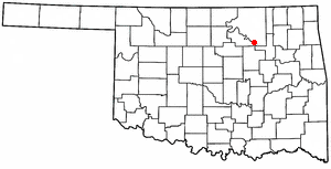
Mule Barn, Oklahoma — Town — Location of Mule Barn, Oklahoma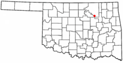
Coordinates: 36°13′2″N 96°18′42″W / 36.21722°N 96.31167°WCoordinates: 36°13′2″N 96°18′42″W / 36.21722°N 96.31167°W Country United States State Oklahoma County Pawnee Area – Total 0.0 sq mi (0.1 km2) – Land 0.0 sq mi (0.1 km2) – Water 0.0 sq mi (0.0 km2) Elevation 837 ft (255 m) Population (2000) – Total 0 – Density 0.0/sq mi (0.0/km2) Time zone Central (CST) (UTC-6) – Summer (DST) CDT (UTC-5) FIPS code 40-49860[1] GNIS feature ID 1102947[2] Mule Barn is a town in Pawnee County, Oklahoma, United States. Its population was zero on both the 1990 and 2000 censuses.
According to the United States Census Bureau, the town has a total area of 0.0 square miles (0 km2), all land. The town is located at 36.21737 N, 96.31142 W.
Oklahoma law provides for the dissolution of towns under certain circumstances, including the lack of recent elections.[3] However, the Census Bureau reported no changes to the municipal status of Mule Barn between 2000 and 2006.[4]
References
- ^ "American FactFinder". United States Census Bureau. http://factfinder.census.gov. Retrieved 2008-01-31.
- ^ "US Board on Geographic Names". United States Geological Survey. 2007-10-25. http://geonames.usgs.gov. Retrieved 2008-01-31.
- ^ Oklahoma Statutes, §11-7-105. Accessed 2008-04-27.
- ^ Population Estimates Geographic Change Notes: Oklahoma, United States Census Bureau, 2006. Accessed 2008-04-27.
Municipalities and communities of Pawnee County, Oklahoma Cities 
Towns Unincorporated
communitiesFootnotes ‡This populated place also has portions in an adjacent county or counties
Categories:- Populated places in Pawnee County, Oklahoma
- Towns in Oklahoma

Wikimedia Foundation. 2010.