- Mount Sherrill
-
NAME Elevation 3,550 ft (1,082 m) [1] Prominence 540 ft (165 m) [2] Listing Catskill High Peaks Location Location Greene County, New York Range Catskill Mountains Coordinates 42°10.55′N 74°22.37′W / 42.17583°N 74.37283°WCoordinates: 42°10.55′N 74°22.37′W / 42.17583°N 74.37283°W Topo map USGS Lexington Mount Sherrill is a mountain located in Greene County, New York and is part of the Catskill Mountains. Mount Sherrill is flanked to the east by North Dome, and to the west by Balsam Mountain.
Mount Sherrill stands within the watershed of the Hudson River, which drains into New York Bay. The northern slopes of Mt. Sherrill drain via Bennett Brook and Newton Brook into the West Kill, then into Schoharie Creek, the Mohawk River, and, finally, the Hudson River. The west side of Mt. Sherrill drains into Bushnellsville Creek, thence into Esopus Creek, and the Hudson River. The southeast side of Mt. Sherrill drains through Peck Hollow into Esopus Creek.
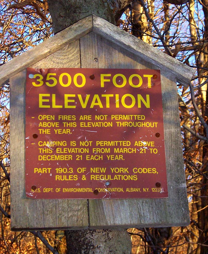
Mount Sherrill is contained within the Westkill Mountain Wilderness Area of New York's Catskill State Park. There is no hiking trail over the mountain, although an extension of the Devil's Path west from West Kill Mtn. has been contemplated.
Notes
See also
External links
- Mount Sherrill Hiking Info. Catskill 3500 Club
- Peakbagger.com: Mount Sherrill
- U.S. Geological Survey Geographic Names Information System: Mount Sherrill
The High Peaks of New York's Catskill Mountains Northwest Catskills 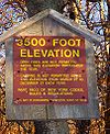
Blackhead Mountains Other northeast Catskills Devil's Path Other central Catskills Southwest Catskills Cornell • Slide • Wittenberg Other southern Catskills Categories:- Mountains of New York
- Catskill High Peaks
- Geography of Greene County, New York
- New York geography stubs
Wikimedia Foundation. 2010.