- Mandothi
-
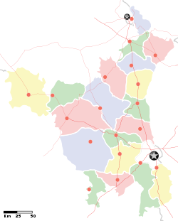
Mandothi — village — Location of Mandothi Coordinates 28°42′23″N 76°49′15″E / 28.7065000°N 76.8207100°ECoordinates: 28°42′23″N 76°49′15″E / 28.7065000°N 76.8207100°E Country India State Haryana District(s) Jhajjar District Nearest city Bahadurgarh Parliamentary constituency Rohtak Assembly constituency Bahadurgarh Time zone IST (UTC+05:30) Mandothi is a village in Jhajjar District of Haryana in India.[1] It is about 40 km northwest of New Delhi and an hour's drive from the heart of New Delhi city.
The population of the village consists of about 30,000 people and agriculture is the main occupation. Though the village has electricity, it has no running water facilities, as is the case in most of the Indian villages where people fetch drinking water from the wells.
The village has 9 schools — some exclusively for girls, others exclusively for boys and some are coeducational. Although primary education is compulsory and free for every child in India, some parents do not send their children to school due to the cost of books, clothing, etc.
The inhabitants of Mandothi are called Dalal by Gotra. Mandothi is one of the villages with the largest Dalal community. Mandothi has a runway for aeroplane landing which was built during the British rule.
Because the village has given birth to a lot of wrestlers it is also known as a "Village of Wrestlers". Some of them are Ratankawar Pahlwan, Sonu Pahlwan, Karan singh Pahlwan, Nihala Pahlwan, Prithi Pahlwan, Kala Pahlwan and Surender Pahlwan Urf (Dhandha). The village is head of panchayat of many Gotras. It is 10 -12 km away from Bahadurgarh which is almost on the border of Delhi.
There is a big Gosala in Mandothi where is a big gau sala in this village . Every year from January 11th to January 14th there is a haryanvi ragni competition. This village has many akahara.
References
Categories:- Haryana geography stubs
- Villages in Jhajjar district
Wikimedia Foundation. 2010.


