- Dupont, Ohio
-
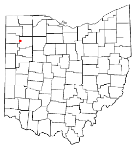
Dupont, Ohio — Village — Location of Dupont, Ohio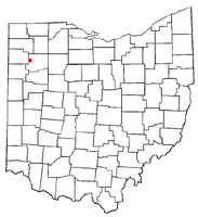
Coordinates: 41°3′18″N 84°18′12″W / 41.055°N 84.30333°WCoordinates: 41°3′18″N 84°18′12″W / 41.055°N 84.30333°W Country United States State Ohio County Putnam Area – Total 0.9 sq mi (2.4 km2) – Land 0.9 sq mi (2.4 km2) – Water 0.0 sq mi (0.0 km2) Elevation[1] 725 ft (221 m) Population (2000) – Total 268 – Density 287.8/sq mi (111.1/km2) Time zone Eastern (EST) (UTC-5) – Summer (DST) EDT (UTC-4) ZIP code 45837 Area code(s) 419 FIPS code 39-22974[2] GNIS feature ID 1048670[1] Dupont is a village in Putnam County, Ohio, United States. The population was 268 at the 2000 census.
Geography
Dupont is located at 41°3′18″N 84°18′12″W / 41.055°N 84.30333°W (41.054916, -84.303299)[3].
According to the United States Census Bureau, the village has a total area of 0.9 square miles (2.3 km2), all of it land.
Demographics
As of the census[2] of 2000, there were 268 people, 93 households, and 70 families residing in the village. The population density was 287.8 people per square mile (111.3/km²). There were 102 housing units at an average density of 109.5 per square mile (42.3/km²). The racial makeup of the village was 97.01% White, 2.24% African American and 0.75% Native American. Hispanic or Latino of any race were 2.24% of the population.
There were 93 households out of which 44.1% had children under the age of 18 living with them, 55.9% were married couples living together, 17.2% had a female householder with no husband present, and 23.7% were non-families. 23.7% of all households were made up of individuals and 8.6% had someone living alone who was 65 years of age or older. The average household size was 2.88 and the average family size was 3.41.
In the village the population was spread out with 34.7% under the age of 18, 8.6% from 18 to 24, 30.2% from 25 to 44, 17.5% from 45 to 64, and 9.0% who were 65 years of age or older. The median age was 29 years. For every 100 females there were 103.0 males. For every 100 females age 18 and over, there were 92.3 males.
The median income for a household in the village was $31,786, and the median income for a family was $37,500. Males had a median income of $32,813 versus $21,250 for females. The per capita income for the village was $12,879. About 8.6% of families and 7.7% of the population were below the poverty line, including 8.7% of those under the age of eighteen and none of those sixty five or over.
References
- ^ a b "US Board on Geographic Names". United States Geological Survey. 2007-10-25. http://geonames.usgs.gov. Retrieved 2008-01-31.
- ^ a b "American FactFinder". United States Census Bureau. http://factfinder.census.gov. Retrieved 2008-01-31.
- ^ "US Gazetteer files: 2010, 2000, and 1990". United States Census Bureau. 2011-02-12. http://www.census.gov/geo/www/gazetteer/gazette.html. Retrieved 2011-04-23.
Municipalities and communities of Putnam County, Ohio Villages Belmore | Cloverdale | Columbus Grove | Continental | Dupont | Ft. Jennings | Gilboa | Glandorf | Kalida | Leipsic | Miller City | Ottawa | Ottoville | Pandora | West Leipsic

Townships Unincorporated
communitiesCategories:- Villages in Ohio
- Populated places in Putnam County, Ohio

Wikimedia Foundation. 2010.