- Chesterville, Ohio
-
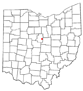
Chesterville, Ohio — Village — Location of Chesterville, Ohio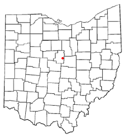
Coordinates: 40°28′47″N 82°41′1″W / 40.47972°N 82.68361°WCoordinates: 40°28′47″N 82°41′1″W / 40.47972°N 82.68361°W Country United States State Ohio County Morrow Area – Total 0.1 sq mi (0.2 km2) – Land 0.1 sq mi (0.2 km2) – Water 0.0 sq mi (0.0 km2) Elevation[1] 1,145 ft (349 m) Population (2000) – Total 193 – Density 2,036.6/sq mi (786.3/km2) Time zone Eastern (EST) (UTC-5) – Summer (DST) EDT (UTC-4) ZIP code 43317 Area code(s) 419 FIPS code 39-14114[2] GNIS feature ID 1056798[1] Chesterville is a village in Morrow County, Ohio, United States, along the Kokosing River. The population was 193 at the 2000 census. Chesterville is southeast of Mount Gilead, the county seat.
Contents
Geography
Chesterville is located at 40°28′47″N 82°41′1″W / 40.47972°N 82.68361°W (40.479649, -82.683564)[3]. It is considered to be a part of "Central Ohio."
According to the United States Census Bureau, the village has a total area of 0.1 square miles (0.26 km2), all of it land.
Demographics
As of the census[2] of 2000, there were 193 people, 57 households, and 42 families residing in the village. The population density was 2,036.6 people per square mile (828.0/km²). There were 61 housing units at an average density of 643.7 per square mile (261.7/km²). The racial makeup of the village was 96.89% White, 1.04% Native American, and 2.07% from two or more races. Hispanic or Latino of any race were 1.04% of the population.
There were 57 households out of which 47.4% had children under the age of 18 living with them, 59.6% were married couples living together, 8.8% had a female householder with no husband present, and 26.3% were non-families. 19.3% of all households were made up of individuals and 14.0% had someone living alone who was 65 years of age or older. The average household size was 2.75 and the average family size was 3.10.
In the village the population was spread out with 24.9% under the age of 18, 5.7% from 18 to 24, 29.0% from 25 to 44, 14.0% from 45 to 64, and 26.4% who were 65 years of age or older. The median age was 40 years. For every 100 females there were 73.9 males. For every 100 females age 18 and over, there were 64.8 males.
The median income for a household in the village was $41,667, and the median income for a family was $40,833. Males had a median income of $32,143 versus $21,023 for females. The per capita income for the village was $13,318. About 9.3% of families and 9.9% of the population were below the poverty line, including 12.5% of those under the age of eighteen and none of those sixty five or over.
Notable residents
- James A. Connolly, U.S. representative from Illinois
References
- ^ a b "US Board on Geographic Names". United States Geological Survey. 2007-10-25. http://geonames.usgs.gov. Retrieved 2008-01-31.
- ^ a b "American FactFinder". United States Census Bureau. http://factfinder.census.gov. Retrieved 2008-01-31.
- ^ "US Gazetteer files: 2010, 2000, and 1990". United States Census Bureau. 2011-02-12. http://www.census.gov/geo/www/gazetteer/gazette.html. Retrieved 2011-04-23.
Municipalities and communities of Morrow County, Ohio City 
Villages Cardington | Chesterville | Edison | Fulton | Marengo | Mount Gilead | Sparta
Townships Bennington | Canaan | Cardington | Chester | Congress | Franklin | Gilead | Harmony | Lincoln | North Bloomfield | Perry | Peru | South Bloomfield | Troy | Washington | Westfield
Unincorporated
communitiesFootnotes ‡This populated place also has portions in an adjacent county or counties
Categories:- Villages in Ohio
- Populated places in Morrow County, Ohio
- Columbus, Ohio metropolitan area

Wikimedia Foundation. 2010.