- Cubagua
-
 Cubagua within Nueva Esparta
 Map of Cubagua
Cubagua or Isla de Cubagua (Spanish pronunciation: [ˈisla ðe kuˈβaɣwa]) is the smallest and least populated of the three islands constituting the Venezuelan state of Nueva Esparta, after Isla Margarita and Coche. It is located 16 km north of Araya Peninsula, the closest mainland area.
Contents
Geography
Topography
The island is 9.2 by 3.6 km in size, an elliptical shape with the longer axis east-west. Its area is 22.438 km². The coast consists of cliffs from five to seven meters high in the south, and from 20 to 24 meters high in the north, but there are also some beaches. The highest elevation of the flat-topped island reaches 32 meters.
Climate
It is dry and lacks surface water bodies (the only freshwater is found in small underground reservoirs). Annual precipitation is 250 mm, which is the value of a dry desert. Temperatures are close to 25°C year-round, with little fluctuation.
Vegetation
The desert-like (xerophytic) vegetation of the essentially barren island includes a number of cactus species such as Cardón de Dato (Ritterocereus griseus), Buche, Melón de Cerro, Sabana o Monte (Melocactus caesius), Guamacho (Pereskia guamacho), and Opuntia tuna, as well as a few legumes (family Fabaceae) such as Mesquite (Prosopis juliflora), Divi-divi (Caesalpinia coriaria), Poorman’s Friend (Stylosanthes viscosa), and the Sangre Drago (Croton flavens).[1]
Fauna
The island has small populations of hares and feral goats.
Transportation
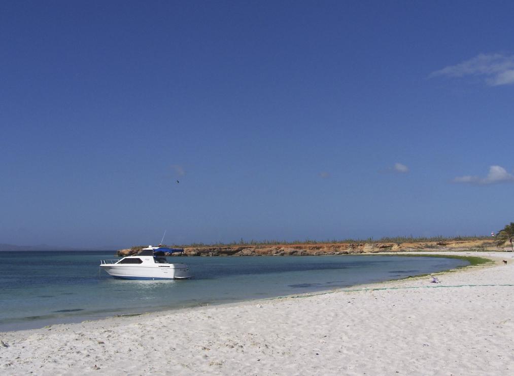
 Beach of Cubagua
There are no streets or roads on the island. Cubagua is served by ferries and other boats from Punta de Piedras, the capital of Tubores municipality, located eight kilometers to the northeast, on Isla Margarita. The passage takes less than two hours. The boat landing pier is located at the eastern end of Playa Charagato, the main settlement of Cubagua. There is a lighthouse marking Punta Charagato in the northeast (which the ferry from Isla Margarita passes), and another one at Punta Brasil in the northwest, to aid the ferries from Punta de Piedras to Puerto la Cruz that pass by Cubagua on the west.
History
The first human settlement on Cubagua has been dated to 2325 B.C., a time within the Meso-Indian Period (5000 to 1000 B.C.).
Cubagua was discovered for Europeans by Christopher Columbus in 1498. Its historically most important resources have been the pearls of pearl oysters, already in pre-European times. The peak of its exploitation occurred from 1508 to 1520. By 1531 signs of resource exhaustion became evident. Between 1530 and 1535 fishing resources were exploited at peak level, to support a growing population.
In 1528, Cristóbal Guerra founded the city of Nueva Cádiz, the first settlement to hold the title of "city" in Venezuela, and one of the first ones in the Americas.[2] The city became a synonym for the suppression by the Hispanic Conquistadores in South America.[2] Nueva Cádiz, which reached a population between 1000 and 1500, was destroyed in an earthquake followed by a tsunami in 1541.[3] The ruins have been declared a National Monument of Venezuela in 1979.
 Ruins of Nueva Cádiz
Administration
Cubagua is part of the municipality of Tubores, one of eleven municipalities of the state of Nueva Esparta.
Population
Human activity dates from the 24th century BC, but the first people did not settle here in a permanent fashion. Instead the island was used as a source of oysters, for food, and for pearls. The lack of vegetation or fresh water made permanent settlement nearly impossible. Today the island still has temporary fisherman, but few to no permanent residents.[4]
According to an unofficial census of population by the Instituto del Patrimonio Cultural in August 2007, the island had a population of 51, of which 19 were children. This population resides in four sub-communities in the northeast of the island, from west to east:
- Playa Falucho
- Playa Charagato (the largest settlement)
- Punta Charagato
- Punta la Cabecera (close to the ruins Nueva Cádiz)
In addition, on some maps a settlement called Punta Arenas appears in the Southwest. Satellite images reveal about five buildings at that site. A small settlement of about four buildings can be made out about midway between Punta La Horca (the westernmost point of Cubagua) and Punta Arenas, south of Punta El Lamparo. Two buildings can be seen on the southern bay of Manglecito, just east of Punta Manglecito.
If the itinerant fishermen from the rest of Nueva Esparta from the Venezuelan mainland (State of Sucre) are included, the population exceeds 300 during the year.
Coordinates: 10°49′08″N 64°10′57″W / 10.81889°N 64.1825°W
References
External links
Categories:- Islands of Venezuela
- Nueva Esparta


Wikimedia Foundation. 2010.