- Isla Margarita
-
Margarita Native name: Isla Margarita
Nickname: Pearl of the Caribbean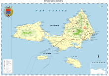
Location of Margarita Island in Nueva Esparta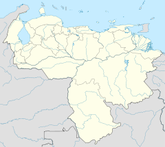
 Isla Margarita (Venezuela)
Geography Location Caribbean Sea Coordinates 10°59′13″N 63°56′08″W / 10.98694°N 63.93556°W Area 1,020 km2 (394 sq mi) Length 78 km (48.5 mi) Width 20 km (12 mi) Highest elevation 920 m (3,020 ft) Highest point San Juan or Cerro Grande Country VenezuelaState Nueva Esparta Largest city Porlamar (pop. 85,000) Demographics Population 436,900 Density 411.76 /km2 (1,066.45 /sq mi) Margarita Island (Isla de Margarita) is the largest island of the state of Nueva Esparta in Venezuela, situated in the Caribbean Sea, off the northeastern coast of the country. The state also contains two other smaller islands: Coche and Cubagua. The capital city of Nueva Esparta is La Asunción, located in a river valley of the same name in Margarita Island. Primary industries are tourism, fishing and construction. The population of the state is about 440,000.
Contents
History
 1840 map by Agustín Codazzi.
 La Galera, a Spanish colonial fort
In 1498, Christopher Columbus discovered Margarita Island. The local natives, named Guaiqueries, received the conquering Spaniards with open arms unaware that they later would become slaves of their own wealth. Pearls represented almost a third of all New World tribute to the Spanish Crown. Margarita Island had to be fortified against the increasing threat of pirate attacks, and several of these fortifications remain today. In 1561, the island was seized by Lope de Aguirre, a notoriously violent and rebellious conquistador who held the islanders in a grip of terror until he returned to the mainland in an attempt to take Panama from the Spanish crown.
In 1814, the islanders fought successfully for independence from the Spanish after the collapse of the First Republic of Venezuela. Margarita Island became the first, permanently free territory in Venezuela. That same year, Luisa Cáceres de Arismendi was detained for over three years in a dark dungeon where she was harassed and abused. The authorities were hoping to put pressure on her husband Juan Bautista Arismendi, who was fighting for independence. It was on Margarita Island that Simón Bolívar was confirmed as Commander in Chief of the Venezuelan Republic in 1816. From there he started a nine-year campaign to free Venezuela, Colombia, Ecuador, Peru and Bolivia from the Spanish Crown.
Geography
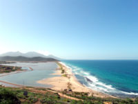
 Puerto Cruz beach
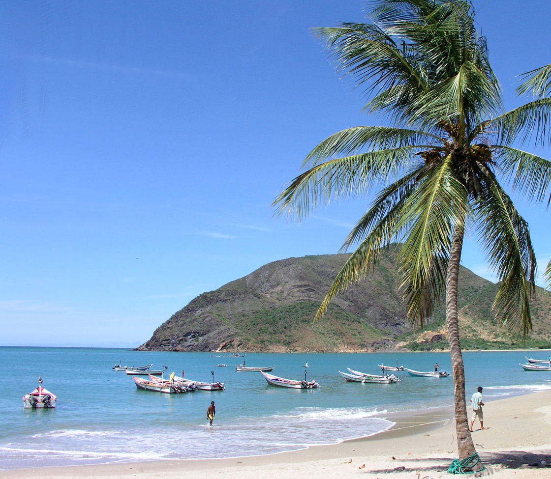
Located in the Caribbean Sea between latitudes 10°52'N and 11°11'N and longitudes 63°48'W and 64°23'W, it belongs to the State of Nueva Esparta which also comprises the islands of Coche and Cubagua. The island is formed by two peninsulas joined by an isthmus. It covers an area of 1,020 km². It splits into two sections linked by an 18-km (11-mi) spit of sand. It is 78 km long and its widest side measures roughly 20 km. The climate is very sunny and dry with temperatures from 24 to 37°C.
Most of the island's 420,000 residents live in the more developed eastern part, especially in the city of Porlamar and adjoining city of Pampatar. Others are found in the much smaller city of La Asunción, the capital of the region or Juan Griego. Direct flights from Caracas and other Venezuelan cities, as well as scheduled or charter flights from a number of North American and European cities, ferries from Puerto La Cruz, Cumaná, and La Guaira also travel to the island.
The Macanao peninsula to the west has a central mountain range in the east-west direction. The highest altitude is 760 m at Pico de Macanao. Several smaller ranges derive from this axis following a north-south orientation with deep valleys between them. The most notable of these valleys is San Francisco in the north-central part of the peninsula. The Paraguachoa peninsula to the East is formed by a mountain range in the north-south direction from Porlamar to Cabo Negro. The highest peaks are San Juan or Cerro Grande (920 m) and El Copey (890 m). Both peninsulas are connected by La Restinga, an isthmus of low altitude with a lagoon called La Restinga, where there are two breast shaped hills known as Tetas de Maria Guevara.
Main Cities
Porlamar
The biggest city on Margarita island is Porlamar, known for its commercial center; it flourishes with shops and good restaurants. About 85,000 people live there during the low season in Porlamar; about 125,000, in the high season. It has two city beaches.
Pampatar
 Beach near Pampatar
Is one of the largest towns on the island . Pampatar has around 50,000 citizens in its greater area. Most of the larger shopping malls are in its Jurisdiction: Sambil Margarita, Rattan Depot, Centro Comercial AB (Avenida Bolivar), and La Redoma. It has several beaches. It is the seat of the Castillo San Carlos Borromeo constructed approximately from 1664 to 1684.
La Asunción
 La Asunción
La Asunción is the capital of the Federal State of Nueva Esparta with about 25,000 citizens. It is the seat of the regional government.
Juan Griego
Juan Griego is a city of around 45,000 people, it has small shopping centres and beaches. La Galera is a fortress not far off the city centre, where, in the early 1820s, a fierce battle for independence was fought.
Tourism
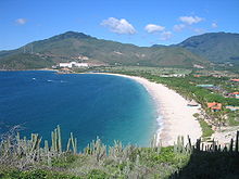
 Playa El Agua, famous for its beauty and variety of services
 La Galera beach
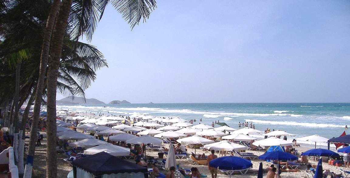
Tourism on Margarita Island is increasing year on year[citation needed]. The breathtaking scenery, excellent hotels and nightlife and duty-free shopping are all attracting foreigners. Margarita Island can usually be reached by ferry or by airplane, as the Santiago Mariño International Airport is located 25 kilometers away from the city of Porlamar. Its status as a duty-free port and proximity to the mainland make it one of the top vacation spots for Venezuelans. Vacationers crowd the island especially during Christmas time, Easter week, and from July to mid-September. Venezuelan tourists come on shopping sprees; whiskey, cheese, chocolate, and electrical appliances, are among the goods that can be purchased less expensively than on the mainland. Also, many retired people choose Margarita as an ideal, peaceful dwelling place.[citation needed]
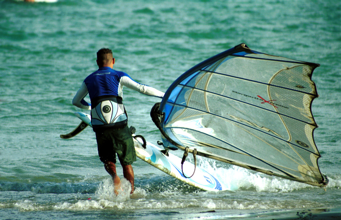
There are at least 50 unique and magnificent margarita beaches which are scattered along 106 miles of coastline. Its location as an island in the Caribbean sea offers lots of beaches to explore which range from crowded to solitary and most of them virgin. Playa El Agua, in the north, is the most popular with 4 km of fine sand. Playa El Yaque is internationally known as an excellent location for windsurfing. Playa Parguito, Playa Caribe, and Playa Punta Arenas are also popular beaches. Many resorts cater to the international, Caribbean-loving crowd, especially from European countries. The beach of Playa Puerto Cruz is one of the most popular with tourists.
External links
- (Spanish) Isla de Margarita - Government Site
Coordinates: 10°59′13″N 63°56′08″W / 10.98694°N 63.93556°W
Categories:


Wikimedia Foundation. 2010.