- Conesville, Ohio
-
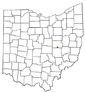
Conesville, Ohio — Village — Location of Conesville, Ohio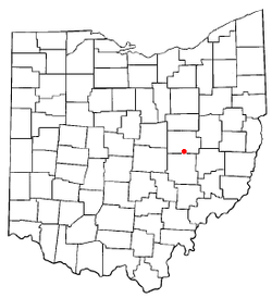
Coordinates: 40°11′2″N 81°53′31″W / 40.18389°N 81.89194°WCoordinates: 40°11′2″N 81°53′31″W / 40.18389°N 81.89194°W Country United States State Ohio County Coshocton Area – Total 0.2 sq mi (0.4 km2) – Land 0.2 sq mi (0.4 km2) – Water 0.0 sq mi (0.0 km2) Elevation[1] 745 ft (227 m) Population (2000) – Total 364 – Density 2,387.4/sq mi (921.8/km2) Time zone Eastern (EST) (UTC-5) – Summer (DST) EDT (UTC-4) ZIP code 43811 Area code(s) 740 FIPS code 39-18266[2] GNIS feature ID 1048625[1] Conesville is a village in Coshocton County, Ohio, United States, along the Muskingum River. The population was 364 at the 2000 census.
Geography
Conesville is located at 40°11′2″N 81°53′31″W / 40.18389°N 81.89194°W (40.183753, -81.892019)[3].
According to the United States Census Bureau, the village has a total area of 0.2 square miles (0.52 km2), all of it land.
Demographics
As of the census[2] of 2000, there were 364 people, 144 households, and 105 families residing in the village. The population density was 2,387.4 people per square mile (936.9/km²). There were 149 housing units at an average density of 977.3 per square mile (383.5/km²). The racial makeup of the village was 99.73% White, and 0.27% from two or more races. Hispanic or Latino of any race were 0.82% of the population.
There were 144 households out of which 32.6% had children under the age of 18 living with them, 57.6% were married couples living together, 13.2% had a female householder with no husband present, and 26.4% were non-families. 24.3% of all households were made up of individuals and 12.5% had someone living alone who was 65 years of age or older. The average household size was 2.53 and the average family size was 2.95.
In the village the population was spread out with 25.8% under the age of 18, 9.9% from 18 to 24, 26.6% from 25 to 44, 25.0% from 45 to 64, and 12.6% who were 65 years of age or older. The median age was 35 years. For every 100 females there were 96.8 males. For every 100 females age 18 and over, there were 92.9 males.
The median income for a household in the village was $35,139, and the median income for a family was $46,563. Males had a median income of $29,444 versus $22,750 for females. The per capita income for the village was $18,015. About 6.7% of families and 10.0% of the population were below the poverty line, including 16.2% of those under age 18 and 12.1% of those age 65 or over.
References
- ^ a b "US Board on Geographic Names". United States Geological Survey. 2007-10-25. http://geonames.usgs.gov. Retrieved 2008-01-31.
- ^ a b "American FactFinder". United States Census Bureau. http://factfinder.census.gov. Retrieved 2008-01-31.
- ^ "US Gazetteer files: 2010, 2000, and 1990". United States Census Bureau. 2011-02-12. http://www.census.gov/geo/www/gazetteer/gazette.html. Retrieved 2011-04-23.
Municipalities and communities of Coshocton County, Ohio City 
Villages Baltic‡ | Conesville | Nellie | Plainfield | Warsaw | West Lafayette
Townships Unincorporated
communitiesBakersville | Blissfield | Fresno | Keene | Tunnel Hill | Wakatomika | Walhonding
Footnotes ‡This populated place also has portions in an adjacent county or counties
Categories:- Villages in Ohio
- Populated places in Coshocton County, Ohio
- Muskingum River

Wikimedia Foundation. 2010.