- Chadbourn, North Carolina
-
This article is about the town of Chadbourn, North Carolina. For other uses, see the English surname, also known by its variant "Chadbourne".
Chadbourn, North Carolina — Town — Location of Chadbourn, North Carolina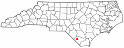
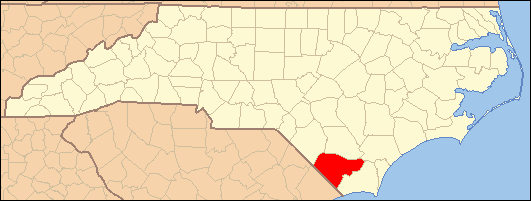
Coordinates: 34°19′21″N 78°49′33″W / 34.3225°N 78.82583°WCoordinates: 34°19′21″N 78°49′33″W / 34.3225°N 78.82583°W Country United States State North Carolina County Columbus Government - Mayor Kenneth Waddell Area - Total 2.6 sq mi (6.8 km2) - Land 2.6 sq mi (6.8 km2) - Water 0.0 sq mi (0.0 km2) Elevation 105 ft (32 m) Population (2000) - Total 2,129 - Density 805.3/sq mi (310.9/km2) Time zone Eastern (EST) (UTC-5) - Summer (DST) EDT (UTC-4) ZIP code 28431 Area code(s) 910 FIPS code 37-11640[1] GNIS feature ID 0982979[2] Website www.townofchadbournnc.gov Chadbourn is a town in Columbus County, North Carolina, United States. The population was 2,129 at the 2000 census.
Contents
Geography
Chadbourn is located at 34°19′21″N 78°49′33″W / 34.3225°N 78.82583°W (34.322374, -78.825823).[3]
According to the United States Census Bureau, the town has a total area of 2.6 square miles (6.7 km2), all of it land.
Demographics
As of the census[1] of 2000, there were 2,129 people, 877 households, and 548 families residing in the town. The population density was 805.3 people per square mile (311.4/km²). There were 983 housing units at an average density of 371.8 per square mile (143.8/km²). The racial makeup of the town was 53.55% African American,41.94% White, 1.93% Native American, 0.38% Asian, 0.05% Pacific Islander, 1.41% from other races, and 0.75% from two or more races. Hispanic or Latino of any race were 1.97% of the population.
There were 877 households out of which 27.6% had children under the age of 18 living with them, 35.3% were married couples living together, 24.4% had a female householder with no husband present, and 37.5% were non-families. 33.6% of all households were made up of individuals and 14.3% had someone living alone who was 65 years of age or older. The average household size was 2.42 and the average family size was 3.12.
In the town the population was spread out with 28.4% under the age of 18, 9.0% from 18 to 24, 24.7% from 25 to 44, 22.5% from 45 to 64, and 15.4% who were 65 years of age or older. The median age was 36 years. For every 100 females there were 84.5 males. For every 100 females age 18 and over, there were 72.5 males.
The median income for a household in the town was $24,539, and the median income for a family was $30,574. Males had a median income of $23,804 versus $20,270 for females. The per capita income for the town was $12,290. About 24.3% of families and 31.4% of the population were below the poverty line, including 45.5% of those under age 18 and 25.6% of those age 65 or over.
References
- ^ a b "American FactFinder". United States Census Bureau. http://factfinder.census.gov. Retrieved 2008-01-31.
- ^ "US Board on Geographic Names". United States Geological Survey. 2007-10-25. http://geonames.usgs.gov. Retrieved 2008-01-31.
- ^ "US Gazetteer files: 2010, 2000, and 1990". United States Census Bureau. 2011-02-12. http://www.census.gov/geo/www/gazetteer/gazette.html. Retrieved 2011-04-23.
External links
Municipalities and communities of Columbus County, North Carolina County seat: Whiteville City 
Towns Boardman | Bolton | Brunswick | Cerro Gordo | Chadbourn | Fair Bluff | Lake Waccamaw | Sandyfield | Tabor City
Unincorporated
communitiesCherry Grove | Delco | Evergreen in Ransom Township | Evergreen in Tatums Township | Hallsboro | Nakina | Olyphic | Pireway | Riegelwood | Sellerstown
Categories:- Towns in North Carolina
- Populated places in Columbus County, North Carolina
- Populated places in North Carolina with African American majority populations

Wikimedia Foundation. 2010.