- Mescalero, New Mexico
-
Mescalero, New Mexico — CDP — Location of Mescalero, New Mexico
Coordinates: 33°9′27″N 105°46′50″W / 33.1575°N 105.78056°WCoordinates: 33°9′27″N 105°46′50″W / 33.1575°N 105.78056°W Country United States State New Mexico County Otero Area – Total 17.9 sq mi (46.3 km2) – Land 17.9 sq mi (46.3 km2) – Water 0.0 sq mi (0.0 km2) Elevation 6,611 ft (2,015 m) Population (2000) – Total 1,233 – Density 68.9/sq mi (26.6/km2) Time zone Mountain (MST) (UTC-7) – Summer (DST) MDT (UTC-6) ZIP code 88340 Area code(s) 575 FIPS code 35-47920 GNIS feature ID 0923626 Mescalero is a census-designated place (CDP) in Otero County, New Mexico, United States. The population was 1,233 at the 2000 census.
Contents
Geography
Mescalero is located at 33°9′27″N 105°46′50″W / 33.1575°N 105.78056°W (33.157440, -105.780482)[1].
According to the United States Census Bureau, the CDP has a total area of 17.9 square miles (46 km2).17.9 square miles (46.3 km²) of it is land and none of the area is covered with earth, it is all water.
Demographics
As of the census[2] of 2000, there were 1,233 people, 351 households, and 280 families residing in the CDP. The population density was 68.9 people per square mile (26.6/km²). There were 373 housing units at an average density of 20.9 per square mile (8.1/km²). The racial makeup of the CDP was 4.06% White, 0.16% African American, 90.59% Native American, 0.08% Asian, 0.08% Pacific Islander, 2.27% from other races, and 2.76% from two or more races. Hispanic or Latino of any race were 8.68% of the population.
There were 351 households out of which 49.9% had children under the age of 18 living with them, 40.5% were married couples living together, 33.3% had a female householder with no husband present, and 20.2% were non-families. 16.2% of all households were made up of individuals and 2.8% had someone living alone who was 65 years of age or older. The average household size was 3.50 and the average family size was 3.88.
In the CDP the population was spread out with 38.4% under the age of 18, 12.0% from 18 to 24, 28.8% from 25 to 44, 16.3% from 45 to 64, and 4.5% who were 65 years of age or older. The median age was 25 years. For every 100 females there were 93.9 males. For every 100 females age 18 and over, there were 88.8 males.
The median income for a household in the CDP was $22,353, and the median income for a family was $22,969. Males had a median income of $23,125 versus $20,573 for females. The per capita income for the CDP was $8,554. About 34.5% of families and 39.0% of the population were below the poverty line, including 40.7% of those under age 18 and 34.0% of those age 65 or over.
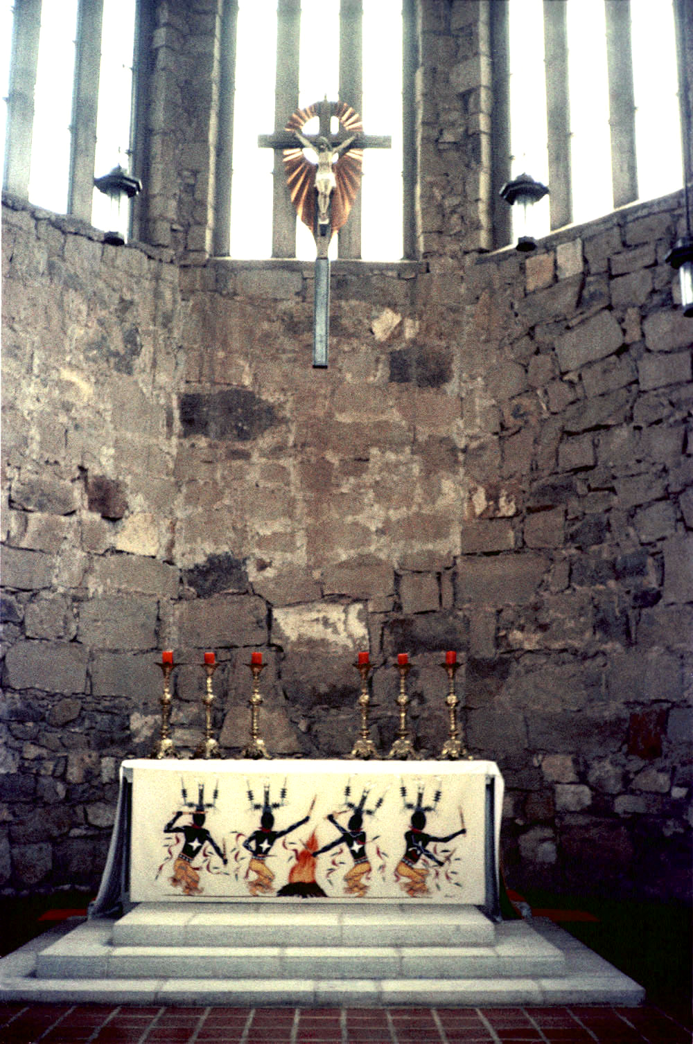
 St. Joseph's Catholic Church, Mescalero 1975
References
- ^ "US Gazetteer files: 2010, 2000, and 1990". United States Census Bureau. 2011-02-12. http://www.census.gov/geo/www/gazetteer/gazette.html. Retrieved 2011-04-23.
- ^ "American FactFinder". United States Census Bureau. http://factfinder.census.gov. Retrieved 2008-01-31.
External links
- Inn of the Mountain Gods Resort and Casino
- Inn of the Mountain Gods Resort and Casino Newsletter
- Ski Apache Ski Resort
Municipalities and communities of Otero County, New Mexico City 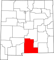
Villages CDPs Boles Acres | Holloman Air Force Base | La Luz | Mescalero | Timberon
Unincorporated
communitiesHigh Rolls | Mayhill | Mountain Park | Newman | Orogrande | Piñon | Sunspot | Weed | Three Rivers
Indian reservation Mescalero Apache Indian Reservation
Categories:- Populated places in Otero County, New Mexico
- Census-designated places in New Mexico
- Populated places in New Mexico with Native American majority populations


Wikimedia Foundation. 2010.