- Hill, New Hampshire
Infobox Settlement
official_name = Hill, New Hampshire
nickname =
motto =
image_
imagesize =
image_caption =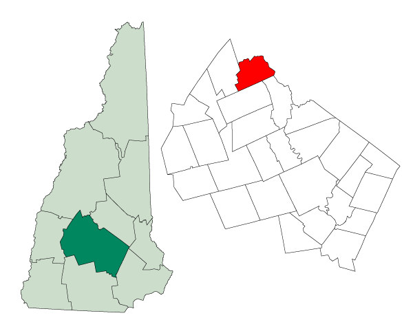
mapsize = 250px
map_caption = Location in Merrimack County,New Hampshire
settlement_type = Town
mapsize1 =
map_caption1 =
subdivision_type = Country
subdivision_name =United States
subdivision_type1 = State
subdivision_name1 =New Hampshire
subdivision_type2 = County
subdivision_name2 = Merrimack
government_type =
leader_title =Board of Selectmen
leader_name =
established_title = Incorporated
established_date = 1778
area_magnitude = 1 E8
area_total_km2 = 69.6
area_total_sq_mi = 26.9
area_land_km2 = 69.2
area_land_sq_mi = 26.7
area_water_km2 = 0.4
area_water_sq_mi = 0.2
area_water_percent = 0.60
population_as_of = 2000
population_note =
population_total = 992
population_density_km2 = 14.3
population_density_sq_mi = 37.1
timezone = Eastern
utc_offset = -5
timezone_DST = Eastern
utc_offset_DST = -4
latd = 43 |latm = 31 |lats = 18 |latNS = N
longd = 71 |longm = 42 |longs = 05 |longEW = W
elevation_m = 138
elevation_ft = 453
website =
postal_code_type =ZIP code
postal_code = 03243
area_code = 603
blank_name = FIPS code
blank_info = 33-35860
blank1_name = GNIS feature ID
blank1_info = 0873624
footnotes =Hill is a town in Merrimack County,
New Hampshire ,United States . The population was 992 at the 2000 census.History
Originally granted as New Chester in 1753, the town took the name Hill in 1837 in honor of
Isaac Hill , governor of New Hampshire from 1836 to 1839. To accommodate the construction of the Franklin Falls Dam, the village of Hill was relocated in 1941.Geography
According to the
United States Census Bureau , the town has a total area of convert|26.9|sqmi|km2|1, of which convert|26.7|sqmi|km2|1|abbr=on is land and convert|0.2|sqmi|km2|1|abbr=on is water, comprising 0.60% of the town. The highest point in town is Dickinson Hill [ [Gnis3|866582 U.S. Board on Geographic Names, Geographic Names Information System] ] , with an approximate elevation of convert|1910|ft|m abovesea level . Hill lies fully within theMerrimack River watershed.cite book |title=Water Use in New Hampshire: An Activities Guide for Teachers |url=http://nh.water.usgs.gov/Publications/nh.intro.html |last=Foster |first=Debra H. |coauthors=Batorfalvy, Tatianna N.; and Medalie, Laura |publisher=U.S. Department of the Interior and U.S. Geological Survey |year=1995]Demographics
As of the
census GR|2 of 2000, there were 992 people, 382 households, and 271 families residing in the town. Thepopulation density was 37.1 people per square mile (14.3/km²). There were 436 housing units at an average density of 16.3/sq mi (6.3/km²). The racial makeup of the town was 98.99% White, 0.10% African American, 0.10% Native American, 0.40% Asian, 0.10% Pacific Islander, and 0.30% from two or more races. Hispanic or Latino of any race were 0.20% of the population.There were 382 households out of which 33.0% had children under the age of 18 living with them, 57.9% were married couples living together, 8.4% had a female householder with no husband present, and 28.8% were non-families. 21.2% of all households were made up of individuals and 8.1% had someone living alone who was 65 years of age or older. The average household size was 2.60 and the average family size was 3.01.
In the town the population was spread out with 26.7% under the age of 18, 6.1% from 18 to 24, 31.3% from 25 to 44, 25.7% from 45 to 64, and 10.2% who were 65 years of age or older. The median age was 39 years. For every 100 females there were 102.4 males. For every 100 females age 18 and over, there were 100.8 males.
The median income for a household in the town was $48,333, and the median income for a family was $50,000. Males had a median income of $32,120 versus $24,313 for females. The
per capita income for the town was $21,004. About 2.9% of families and 4.2% of the population were below thepoverty line , including 1.2% of those under age 18 and none of those age 65 or over.References
External links
* [http://www.nh.gov/nhes/elmi/htmlprofiles/hill.html New Hampshire Economic and Labor Market Information Bureau Profile]
Wikimedia Foundation. 2010.