- Crowfield, Northamptonshire
-
Coordinates: 52°04′11″N 1°06′13″W / 52.0696°N 1.1036°W
Crowfield 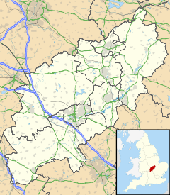
 Crowfield
Crowfield shown within NorthamptonshireOS grid reference SP615416 Parish Syresham District South Northamptonshire Shire county Northamptonshire Region East Midlands Country England Sovereign state United Kingdom Postcode district NN13 Police Northamptonshire Fire Northamptonshire Ambulance East Midlands EU Parliament East Midlands List of places: UK • England • Northamptonshire Crowfield is a hamlet of some two dozen houses in the civil parish of Syresham in that part of the English county of Northamptonshire popularly known as Banburyshire. It is situated in the ancient Whittlewood Forest and in ancient times was on the borders of Mercia and Wessex.
It is administered as part of South Northamptonshire District Council.
There is evidence of pre-Roman habitation in the immediate vicinity of Crowfield, and the outlines of Roman fields can be seen from aerial photographs at the west end of the hamlet.
About a mile to the north there is a densely wooded enclosure known as The Old Mountains. This was a moated site which contained a storage barn used by the pre-reformation Cistercian Abbey of St. Mary and St. Nicholas at Biddlesden, for storage of produce it received as tithes.
Following the Dissolution of the Monasteries most of the land around Crowfield initially passed to Magdalen College, Oxford.
External links
Categories:- Villages in Northamptonshire
- Northamptonshire geography stubs

Wikimedia Foundation. 2010.