- Cribyn (hill)
-
Cribyn 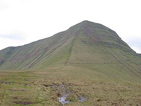
The nose of Cribyn from its north ridgeElevation 795 m (2,608 ft) Prominence c. 130 m Parent peak Pen y Fan Listing Hewitt, Nuttall Translation Ridge Location Cribyn in the Brecon Beacons National Park (green area)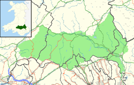
 Cribyn
Location Powys,  Wales
WalesRange Brecon Beacons Coordinates 51°52′54″N 3°25′10″W / 51.88169°N 3.41936°WCoordinates: 51°52′54″N 3°25′10″W / 51.88169°N 3.41936°W Topo map OS Landranger 160 OS grid SO024213 Cribyn is a mountain in the Brecon Beacons with an elevation of 795 metres.[1]
The summit lies on a ridge stretching from Talybont Reservoir in the east, to the A470 road. The ridge line to the west connects Cribyn with the peak of Pen y Fan. To the east, the ridge line descends to Bwlch ar y Fan, a col crossed by an ancient trail sometimes known as 'The Gap Road' before ascending again to the peak of Fan y Big.[1][2]
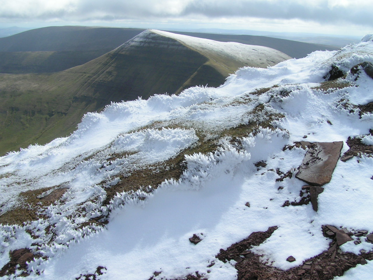
Cribyn on a clear day is a great summit to view the dramatic summits of the Beacons and the steep drops of the northern face of Pen y Fan. It is also a quieter summit and less likely to be crowded with hillwalkers.[2]
Geology
In common with other peaks of the Brecon Beacons, the upper slopes of Cribyn are formed from sandstones of the Brownstones Formation of the Old Red Sandstone laid down during the Devonian period. The lower slopes of the hill are formed from sandstones and mudstones of the underlying Senni Beds Formation. The rock strata tilt gently southwards. The heads of Cwm Sere and Cwm Cynwyn, to the northwest and east of Cribyn respectively, nurtured small glaciers during the last ice age. This glacial erosion resulted in the very steep northern and eastern faces which the hill possesses.

References
- ^ Elevation of Cribyn
- ^ Nuttall, John & Anne (1999). The Mountains of England & Wales - Volume 1: Wales (2nd edition ed.). Milnthorpe, Cumbria: Cicerone. ISBN 1-85284-304-7.
External links
Categories:- Brecon Beacons
- Mountains and hills of Powys
- Mountains and hills of south Wales
- Hewitts of Wales
- Nuttalls

Wikimedia Foundation. 2010.