- Chittur
-
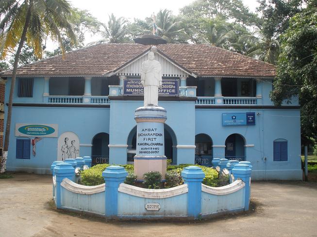
Chittur — town — Chittur Municipal Office
Coordinates 10°42′N 76°45′E / 10.70°N 76.75°ECoordinates: 10°42′N 76°45′E / 10.70°N 76.75°E Country India State Kerala District(s) Palakkad Time zone IST (UTC+05:30) Area
1,155.10 square kilometres (445.99 sq mi)
• 131 metres (430 ft)
Codes-
• Vehicle • KL-
Chittur is a small town in Palakkad district of Kerala, South India.
Politics
Chittur assembly constituency is part of Alathur (Lok Sabha constituency).[1]It contains 16 panchayats.
Demographics
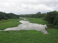 Chittur River. A view from the bridge near Chittur Govt. College
As of 2001[update] India census,[2] Chittur-Thathamangalam had a population of 31,884. Males constitute 49% of the population and females 51%. Chittur-Thathamangalam has an average literacy rate of 79%, higher than the national average of 59.5%; with male literacy of 84% and female literacy of 74%. 9% of the population is under 6 years of age.
References
- ^ "Assembly Constituencies - Corresponding Districts and Parliamentary Constituencies". Kerala. Election Commission of India. http://archive.eci.gov.in/se2001/background/S11/KL_Dist_PC_AC.pdf. Retrieved 2008-10-19.
- ^ "Census of India 2001: Data from the 2001 Census, including cities, villages and towns (Provisional)". Census Commission of India. Archived from the original on 2004-06-16. http://web.archive.org/web/20040616075334/http://www.censusindia.net/results/town.php?stad=A&state5=999. Retrieved 2008-11-01.
Taluks of Palakkad District , Kerala Alathur • Chittur • Mannarkkad • Ottapalam • Palakkad Categories:- Cities and towns in Palakkad district
- Palakkad district geography stubs
-


Wikimedia Foundation. 2010.