- Mount Pisgah (Vermont)
-
Mount Pisgah 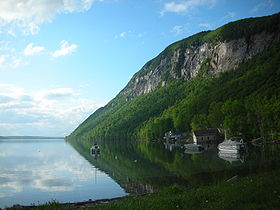
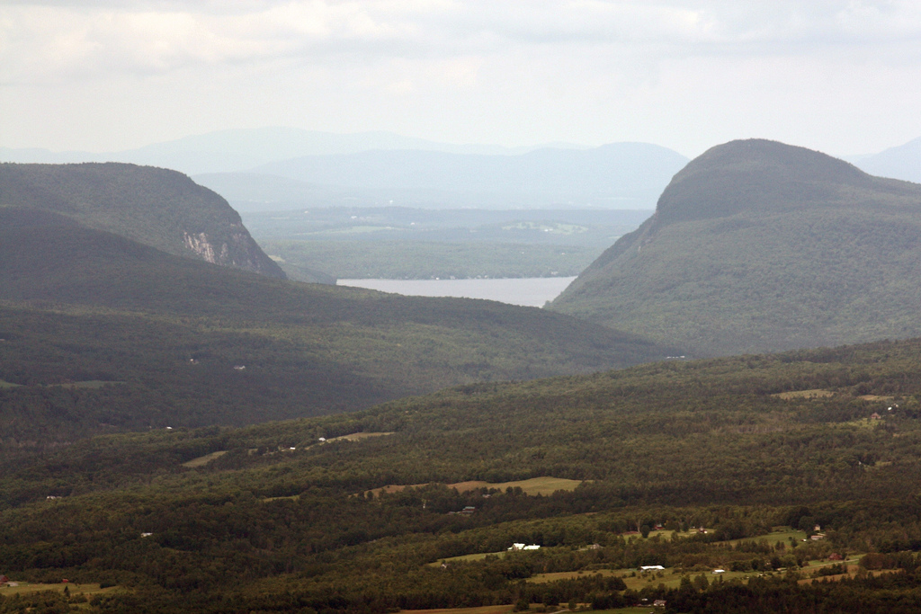
Mount Pisgah from the south, overlooking Lake WilloughbyElevation 2,785 ft (849 m) [1] Location Location Northeast Kingdom, Vermont, USA Coordinates 44°43′47″N 72°01′51″W / 44.72972°N 72.03083°WCoordinates: 44°43′47″N 72°01′51″W / 44.72972°N 72.03083°W Topo map USGS Mount Pisgah Mount Pisgah is a mountain in Westmore, Vermont. It is located on the east side of Lake Willoughby with an almost mirror reflection of itself on the other side of the lake known as Mount Hor. Together the two mountains are known as "Willoughby Notch".[2] Hiking trails can be found in the area.
The cliffs contain alpine plants protected because no trails lead to or through them.[3]
Contents
Hiking

Mount Pisgah is extremely accommodating to hikers, with a trail parking area located on the west side of Route 5A at the south end of Lake Willoughby. The trailhead is marked by a sign on the opposite side of the road.
After roughly a mile walk, the main trail passes Pulpit Rock, a known nesting area for the peregrine falcon.[4] Pulpit Rock also offers an expansive view of Lake Willoughby. An extension off the Pulpit Rock location leads to a rock overhang 650 feet (200 m) above the lake.
After leaving Pulpit Rock, the trail veers away from the cliffs to climb to an opening on a rock slab, where there are good views to the south of the White Mountains, Victory Basin, Newark Pond, Burke Mountain, and some of the Green Mountains.[5]
The main hiking trail runs along a ridge bearing east away from the lake and curves back to the parking area. The descent trail offers three separate, small lookout areas with views of Lake Memphremagog and Jay Peak south to Camel's Hump in Vermont, Mount Moosilauke in New Hampshire, and Owl's Head and Bear Mountain in Quebec.[6]
The trail's total distance is 2.5 miles (4.0 km) with a vertical rise of 1,590 feet (480 m).[7]
See also
External links
References
- ^ Mountainzone.com
- ^ "Mount Hor and Lake Willoughby". http://www.trails.com/tcatalog_trail.asp?trailid=XAC005-010. Retrieved 2007-10-12.
- ^ Johnson, Charles W. (1984). The Nature of Vermont. University Press of New England.
- ^ Center of the Kingdom Recreation
- ^ Hike New England
- ^ Hike New England Descent and Return
- ^ Vermont living and hiking
Categories:- Mountains of Vermont
- Westmore, Vermont
- Geography of Orleans County, Vermont
- Vermont geography stubs

Wikimedia Foundation. 2010.