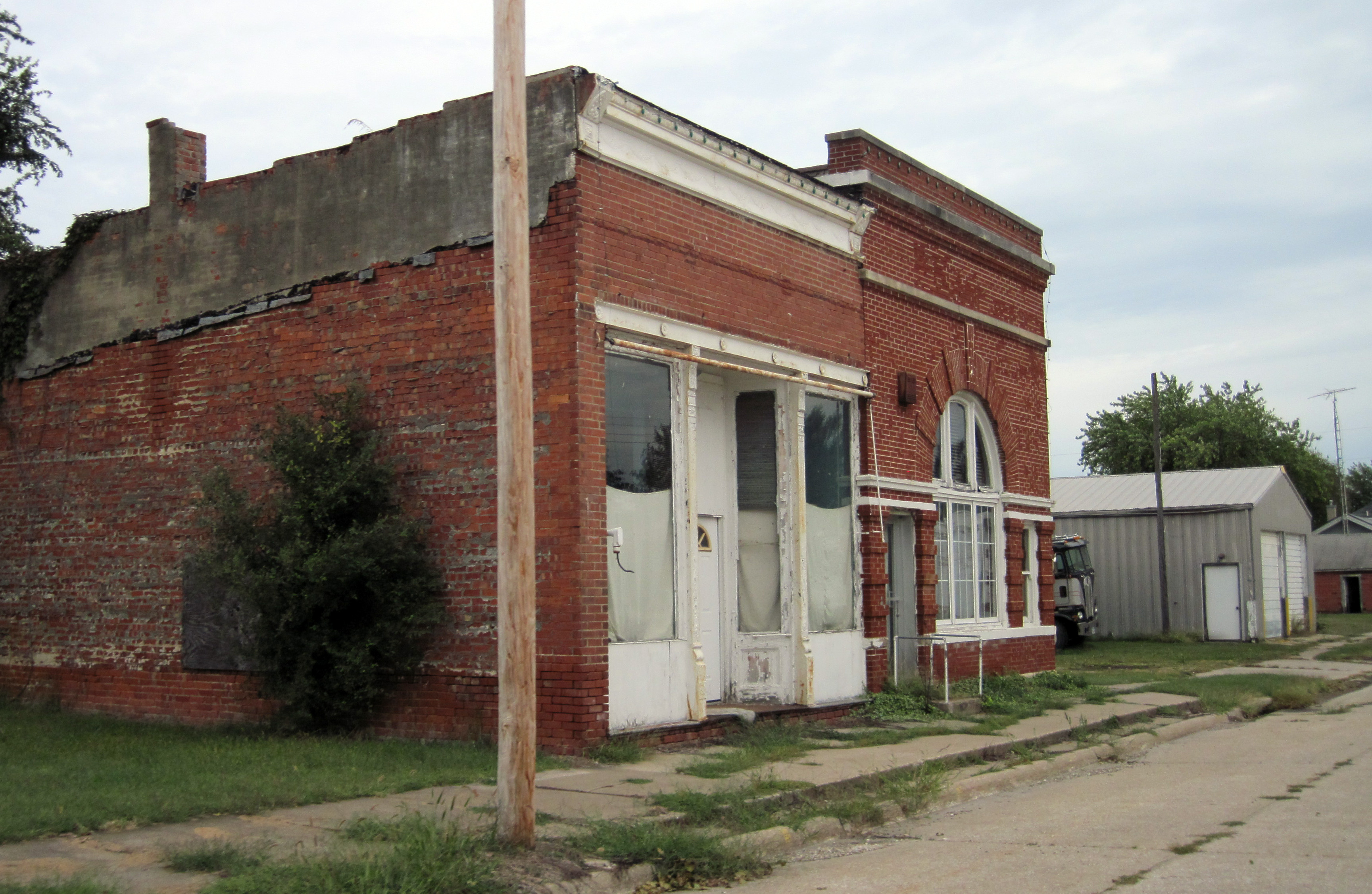
- Ollie, Iowa
-
Ollie, Iowa — City — 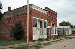 Location of Ollie, Iowa
Coordinates: 41°11′52″N 92°5′39″W / 41.19778°N 92.09417°WCoordinates: 41°11′52″N 92°5′39″W / 41.19778°N 92.09417°W Country  United States
State  Iowa
IowaCounty Keokuk Area – Total 1.0 sq mi (2.6 km2) – Land 1.0 sq mi (2.6 km2) – Water 0.0 sq mi (0.0 km2) Elevation 781 ft (238 m) Population (2000) – Total 224 – Density 224.2/sq mi (86.6/km2) Time zone Central (CST) (UTC-6) – Summer (DST) CDT (UTC-5) ZIP code 52576 Area code(s) 641 FIPS code 19-59070 GNIS feature ID 0459858 Ollie is a city in Keokuk County, Iowa, United States. The population was 224 at the 2000 census.
Contents
Geography
Ollie is located at 41°11′52″N 92°5′39″W / 41.19778°N 92.09417°W (41.197685, -92.094125).[1]
According to the United States Census Bureau, the city has a total area of 1.0 square mile (2.6 km2), all of it land.
Demographics
As of the census[2] of 2000, there were 224 people, 101 households, and 65 families residing in the city. The population density was 224.2 people per square mile (86.5/km²). There were 112 housing units at an average density of 112.1 per square mile (43.2/km²). The racial makeup of the city was 98.66% White, 0.45% Asian, and 0.89% from two or more races.
There were 101 households out of which 28.7% had children under the age of 18 living with them, 58.4% were married couples living together, 5.0% had a female householder with no husband present, and 34.7% were non-families. 32.7% of all households were made up of individuals and 20.8% had someone living alone who was 65 years of age or older. The average household size was 2.22 and the average family size was 2.83.
In the city the population was spread out with 20.5% under the age of 18, 7.6% from 18 to 24, 23.7% from 25 to 44, 18.8% from 45 to 64, and 29.5% who were 65 years of age or older. The median age was 43 years. For every 100 females there were 101.8 males. For every 100 females age 18 and over, there were 95.6 males.
The median income for a household in the city was $30,000, and the median income for a family was $35,938. Males had a median income of $27,188 versus $20,313 for females. The per capita income for the city was $15,100. About 1.8% of families and 7.3% of the population were below the poverty line, including none of those under the age of eighteen and 17.3% of those sixty five or over.
Notable people
- Polly Rosenbaum, Arizona politician
Education
Ollie High School graduated its final class in 1959. In the fall of that year, the hitherto independent school systems of Ollie, Richland, Packwood and Farson, along with the associated rural areas, were consolidated, and all secondary students began to go to the Pekin Community High School. The Ollie school building remained open and was used for grades K-8. In the early 1970s, the Farson building was closed and Ollie was used for the K-5 students from Ollie, Packwood and Farson, while Richland's K-5 students remained in that town. All students 6-8 then went to the Packwood building. Finally, in 1978, all the local schools were closed and grades K-8 were educated in a new school building adjacent to the Pekin High School.[citation needed]
References
- ^ "US Gazetteer files: 2010, 2000, and 1990". United States Census Bureau. 2011-02-12. http://www.census.gov/geo/www/gazetteer/gazette.html. Retrieved 2011-04-23.
- ^ "American FactFinder". United States Census Bureau. http://factfinder.census.gov. Retrieved 2008-01-31.
External links
Municipalities and communities of Keokuk County, Iowa Cities Delta | Gibson | Harper | Hayesville | Hedrick | Keota | Keswick | Kinross | Martinsburg | North English‡ | Ollie | Richland | Sigourney | South English | Thornburg | Webster | What Cheer

Footnotes ‡This populated place also has portions in an adjacent county or counties
Categories:- Populated places in Keokuk County, Iowa
- Cities in Iowa

Wikimedia Foundation. 2010.