- North Liberty, Iowa
-
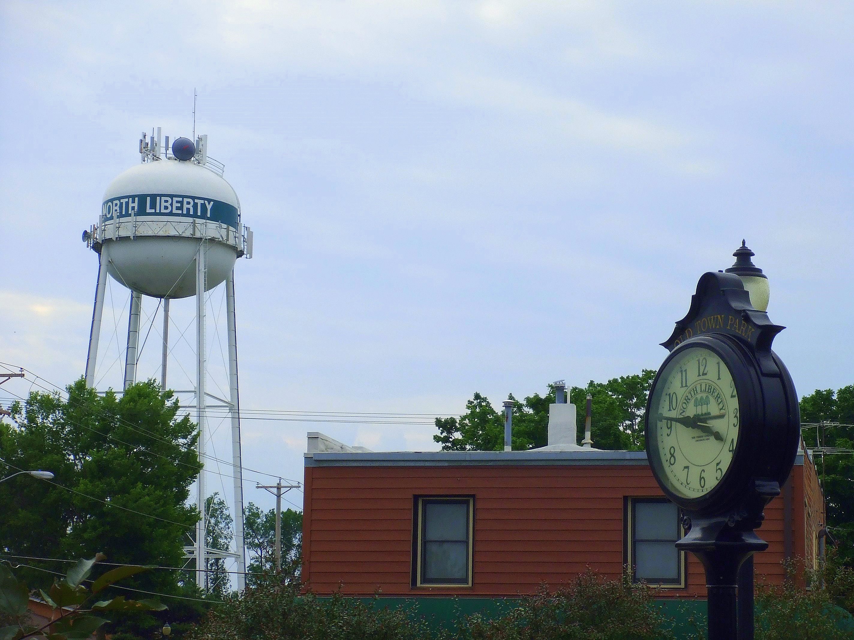
North Liberty, Iowa — City — Downtown North Liberty

SealLocation of North Liberty, Iowa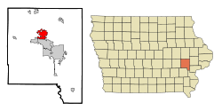
Coordinates: 41°44′35″N 91°36′28″W / 41.74306°N 91.60778°WCoordinates: 41°44′35″N 91°36′28″W / 41.74306°N 91.60778°W Country  United States
State  Iowa
IowaCounty Johnson Incorporated 1913 Government – Type Council-manager government – Mayor Tom Salm – City Administrator Ryan Heiar Area – Total 6.8 sq mi (17.6 km2) – Land 6.8 sq mi (17.6 km2) – Water 0.0 sq mi (0.0 km2) Elevation 781 ft (238 m) Population (2010) – Total 13,374 – Density 791.9/sq mi (305.8/km2) Time zone Central (CST) (UTC-6) – Summer (DST) CDT (UTC-5) ZIP code 52317 Area code(s) 319 FIPS code 19-57360 GNIS feature ID 0465945 Website http://www.northlibertyiowa.org/ North Liberty is a city in Johnson County, Iowa, United States. It is a suburb of Iowa City and part of the Iowa City Metropolitan Statistical Area.
As of the 2010 census, the city population was 13,374. A special census taken by the city in 2004 counted 7,224 residents,[1] while the Census Bureau's estimated 2007 population for North Liberty was 10,982.[2]. From 2000 to 2010, North Liberty was the second-fastest growing town in Iowa.
Contents
History
The North Liberty area was first settled in 1838 by John Gaylor and Alonzo C. Dennison. It was originally known as "Big Bottom" or "North Bend" (in reference to its location near the bend of the Iowa River) by its earliest settlers and was later known as "Squash Bend" before the city was platted as North Liberty in 1857.[3]
North Liberty incorporated on November 10, 1913, when its population was approximately 190.[4] Population growth accelerated in the 1960s, and the Iowa City Community School District opened Penn Elementary there in 1961. A 1967 special census placed the city's population at 782. The population grew to over 2,000 by 1980, and in response in 1984 the North Liberty Community Library [1] was founded and Penn Meadows Park, the city's largest, was opened. By 2000, the population of the city was over 5,000 and the city had established its own police and fire departments, and built a community center with library and aquatic park, as well as a city administration building. The city has since continued to grow, with a population of 7,224 in a 2004 special census. In 2007, the population was estimated to be 10,982, making North Liberty the second fastest growing city in Iowa.[2][3]
Geography
North Liberty is located at 41°44′35″N 91°36′28″W / 41.74306°N 91.60778°W (41.743029, -91.607807).[5]
According to the United States Census Bureau, the city has a total area of 6.8 square miles (18 km2), all of it land.
North Liberty is located on the Iowan erosion surface. Drivers on I-380 experience an abrupt transition from the muted topography of the Iowan surface to the rolling hills of the Southern Iowa drift plain 4 miles south of North Liberty.[citation needed]
Demographics
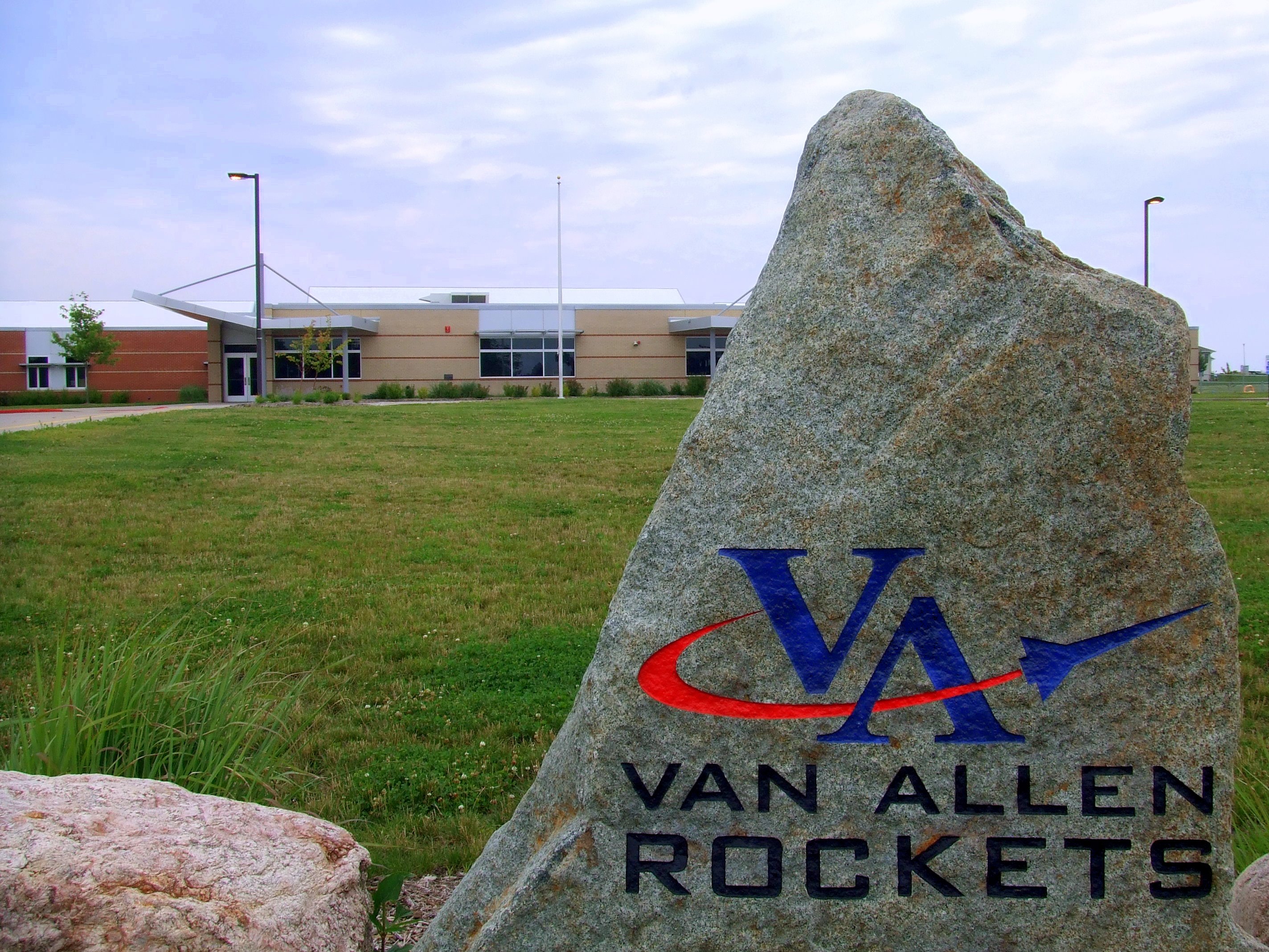
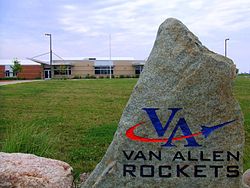 James Van Allen Elementary
Historical Populations Year Pop. ±% 1920 171 — 1930 161 −5.8% 1940 282 +75.2% 1950 309 +9.6% 1960 334 +8.1% 1970 1,055 +215.9% 1980 2,046 +93.9% 1990 2,926 +43.0% 2000 5,367 +83.4% 2010 13,374 +149.2% Source:"American FactFinder". United States Census Bureau. http://factfinder.census.gov. and Iowa Data Center As of the census[6] of 2010, there were 13,374 people, and 5,492 households residing in the city. There were 5,761 housing units. The racial makeup of the city was 96.7% White, 0.5% African American, 0.2% Native American, 1.8% Asian, 0.0% Pacific Islander, 0.9% from other races, and 2.3% from two or more races. Hispanic or Latino of any race were 3.5% of the population.
Infrastructure
The sewage from the city is treated at a modern and sophisticated treatment plant using Membrane Bio-Reactor(MBR) technology followed by UV sterilization. It is designed to be able to discharge more than 2 million gallons of high quality effluent to Muddy Creek each day.
VLBA Node
The radio telescope located northeast of North Liberty on Mehaffey Bridge Road is one of ten dishes comprising the Very Long Baseline Array (VLBA).
Notable residents
- Nathaniel David Becker, actor
- James Van Allen, space scientist and inventor
References
- ^ United States Census Bureau. "Special Census Certified Counts for Governmental Units in Iowa (2004)". http://www.census.gov/field/www/specialcensus/files/iowa_2004.htm. Retrieved 2007-10-25.[dead link]
- ^ a b United States Census Bureau. "Subcounty Population Estimates". http://www.census.gov/popest/cities/tables/SUB-EST2007-04-19.csv. Retrieved 2008-07-10.
- ^ a b City of North Liberty. "North Liberty, Iowa" (PDF). Archived from the original on 2007-11-08. http://web.archive.org/web/20071108184855/http://www.northlibertyiowa.org/econdev/timeline-small.pdf. Retrieved 2007-10-25.
- ^ City of North Liberty. "Wastewater Department". http://www.northlibertyiowa.org/city/wastewater.htm. Retrieved 2007-10-25.
- ^ "US Gazetteer files: 2010, 2000, and 1990". United States Census Bureau. 2011-02-12. http://www.census.gov/geo/www/gazetteer/gazette.html. Retrieved 2011-04-23.
- ^ "American FactFinder". United States Census Bureau. http://factfinder.census.gov. Retrieved 2008-01-31.
External links
Municipalities and communities of Johnson County, Iowa Cities Coralville | Hills | Iowa City | Lone Tree | North Liberty | Oxford | Shueyville | Solon | Swisher | Tiffin | University Heights | West Branch‡

Townships Big Grove | Cedar | Clear Creek | East Lucas | Fremont | Graham | Hardin | Jefferson | Liberty | Lincoln | Madison | Monroe | Newport | Oxford | Penn | Pleasant Valley | Scott | Sharon | Union | Washington
Unincorporated
communitiesFootnotes ‡This populated place also has portions in an adjacent county or counties
Categories:- Populated places in Johnson County, Iowa
- Cities in Iowa
- Iowa City metropolitan area

Wikimedia Foundation. 2010.