- Moreton Bay Regional Council
Infobox Australian Place
type = lga
name = Moreton Bay Regional Council
state = qld
imagesize= 221
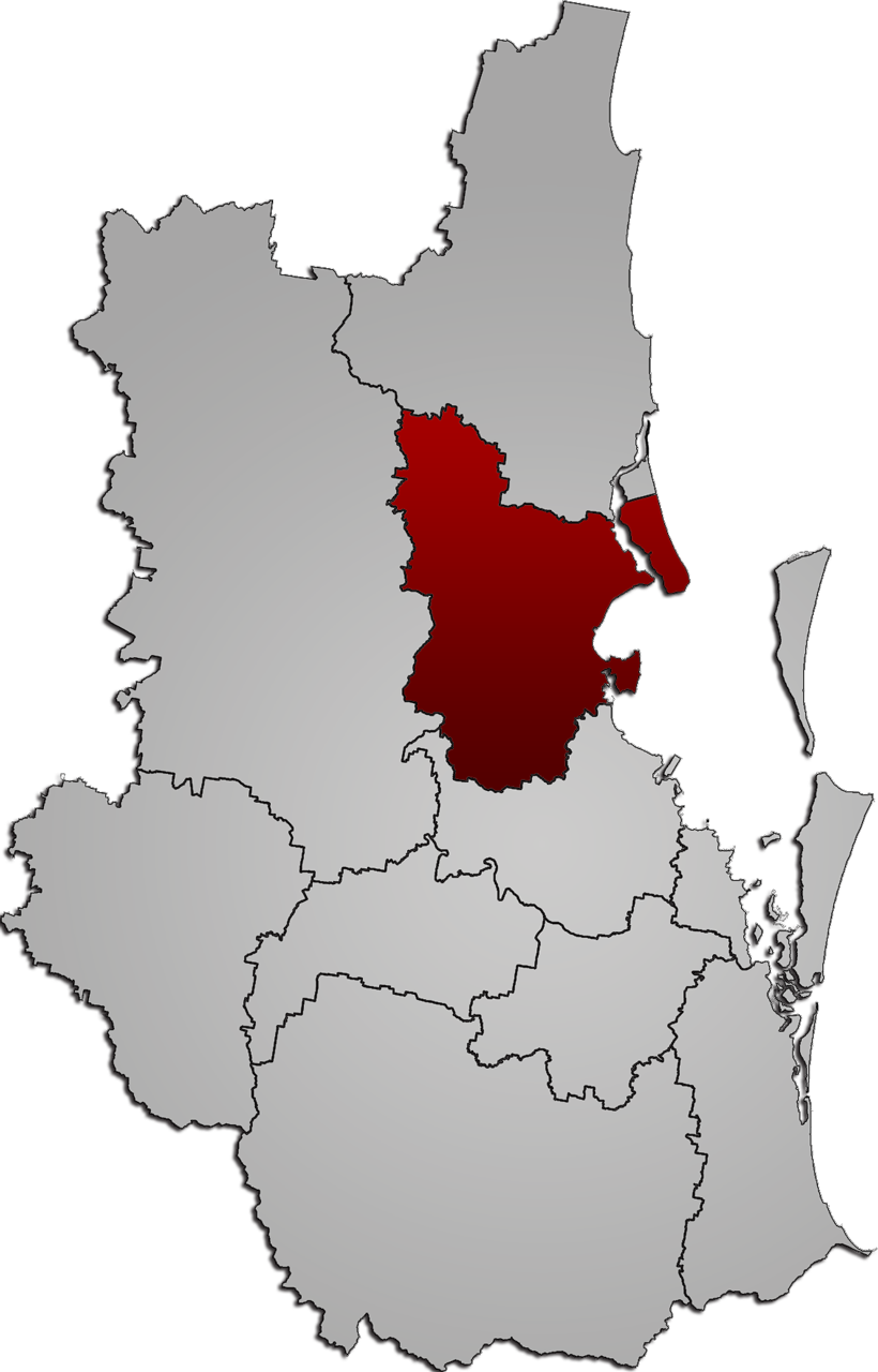
caption = Map of Moreton Bay Regional Council
pop = 337,846 (2007 est.)
area = 2011
est =
seat =
mayor =
propval = $370,000 (acerage properties greater than 2400m²)
logosize = 201
url = http://www.moretonbay.qld.gov.au/
stategov =
fedgov =
near-nw =Somerset Regional Council
near-n =Sunshine Coast Regional Council
near-ne = "Moreton Bay"
near-w =Somerset Regional Council
near-e = "Moreton Bay"
near-sw =Somerset Regional Council
near-s =Brisbane City Council
near-se = "Moreton Bay"Moreton Bay Regional Council (previously North Moreton Regional Council) is a new "super-shire" by the
Local Government Reform Commission , created on15 March 2008 whenShire of Caboolture , Pine Rivers Shire andCity of Redcliffe merged after the local council elections. Legislation introduced into theQueensland Parliament gave the name of the new council as Moreton Bay Regional Council.cite web | year = 2007 | url = http://www.legislation.qld.gov.au/Bills/52PDF/2007/LocGovRefIB07.pdf | title = Local Government Reform Bill | format = PDF | publisher = State of Queensland | accessdate = 2007-09-09 ]The Moreton Bay Regional Council covers 2011 km², has a population of 337,846 and is represented by a Mayor and 12 divisional Councillors. The council is the third largest in Australia by population, behind Brisbane and the Gold Coast.
Inaugural Councillors
The Inaugural Moreton Bay Regional Councillors below, were sworn in on Thursday, April 3, 2008 at North Lakes Community Centre, North Lakes.
*Cr Allan Sutherland – Mayor
*Cr Greg Chippendale – Deputy Mayor
*Cr Gary Parsons
*Cr Chris Whiting
*Cr Julie Greer
*Cr James Houghton
*Cr Rae Frawley
*Cr David Dwyer
*Cr Mick Gillam
*Cr Mike Charlton
*Cr Brian Battersby
*Cr Bob Millar
*Cr Adrian Raedel - First Time Councilloruburbs
Suburbs and localities which encompass the Moreton Bay Regional Council include:
*Albany Creek
*Arana Hills
*Armstrong Creek
*Banksia Beach
*Beachmere
*Bellara
*Bellmere
*Bellthorpe
*Bongaree
*Booroobin
*Bracalba
*Bray Park
*Brendale
*Bunya
*Burpengary
*Caboolture
*Caboolture South
*Campbells Pocket
*Camp Mountain
*Cashmere
*Cedar Creek
*Cedarton
*Clear Mountain
*Clontarf
*Closeburn
*Commissioners Flat
*D'Aguilar
*Dakabin
*Dayboro
*Deception Bay
*Delaneys Creek
*Donnybrook
*Draper
*Eatons Hill
*Elimbah
*Everton Hills
*Ferny Hills
*Godwin Beach
*Griffin
*Highvale
*Jollys Lookout
*Joyner
*Kallangur
*King Scrub
*Kippa-Ring
*Kobble Creek
*Kurwongbah
*Laceys Creek
*Lawnton
*Mango Hill
*Margate
*Meldale
*Moodlu
*Moorina
*Morayfield
*Mount Delaney
*Mount Glorious
*Mount Mee
*Mount Nebo
*Mount Samson
*Mount Pleasant
*Murrumba Downs
*Narangba
*Neurum
*Newport
*Ningi
*North Lakes
*Ocean View
*Petrie
*Redcliffe
*Rocksberg
*Rothwell
*Rush Creek
*Samford Valley
*Samford Village
*Samsonvale
*Sandstone Point
*Scarborough
*Stanmore
*Stony Creek
*Strathpine
*Toorbul
*Upper Caboolture
*Wamuran
*Wamuran Basin
*Warner
*Welsby
*White Patch
*Whiteside
*Wights Mountain
*Woodford
*Woody Point
*Woorim
*YugarReferences
External links
* [http://www.moretonbayltc.qld.gov.au/mbrc.htm Moreton Bay Regional Council - Local Transition Committee]

Wikimedia Foundation. 2010.