- Maylands, Western Australia
-
Maylands
Perth, Western Australia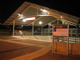
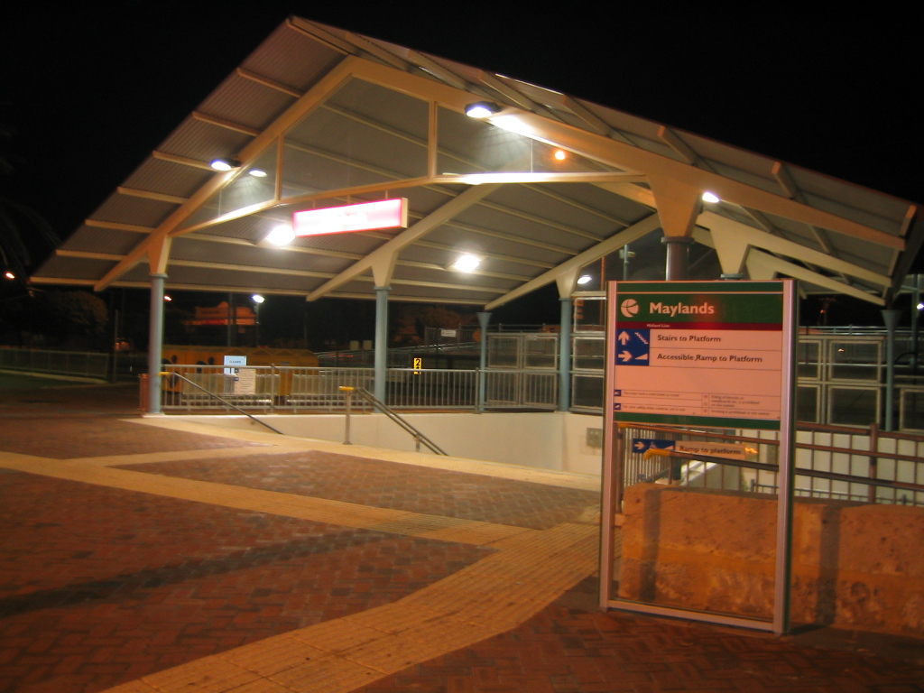
Maylands railway station
 Maylands
Population: 10,449 (2006 census)[1] Established: 1830s Postcode: 6051 Area: 5 km² (1.9 sq mi) Location: 5 km (3 mi) NE of Perth LGA: City of Bayswater State District: Maylands Federal Division: Perth Suburbs around Maylands: Inglewood Bedford Bayswater Mount Lawley Maylands Bayswater Burswood Rivervale Ascot Coordinates: 31°55′52″S 115°53′53″E / 31.931°S 115.898°E
Maylands is a suburb located approximately 4.5 kilometres (2.8 mi) northeast of Perth centred on the Midland railway line and located on the northern bank of the Swan River.
The suburb was developed during the 1890s and is currently an administrative locality within the City of Bayswater (having been mostly located within the City of Stirling until 1998), bordered by the suburbs of Mount Lawley, East Perth and Bayswater. Maylands railway station provides easy access to the City centre and beyond. The railway line was originally built in the 1880s, and the railway station was extensively refurbished in 2000. Recently a shared bicycle / pedestrian path was built to link Maylands with neighbouring suburbs via the shoreline of the Swan River. There is also a small yacht club and a golf course.
Maylands was once a source of clay for brick and tile making,[2] and the pits from these activities are now part of a golf course and residential area. It was home to Perth's main airport which serviced all kinds of aircraft and even flying boats until the early 1960s, when the airport moved to Perth Airport. The facilities were then converted to a training area for the Western Australian Police Service.
Airport
Maylands Airport was where Charles Kingsford-Smith made his landing to complete the first non-stop flight across Australia. On 8 August 1928, the "Southern Cross" took off from Point Cook near Melbourne and set course for Perth, a distance of over 3,200 kilometres (1,990 mi). The first part of the flight Kingsford-Smith described as rather dull, while the second part was made thoroughly unpleasant by a cloud cover their heavy machine couldn't rise out of. For hours they endured the bitter cold and when daylight finally came, they discovered that they had drifted off course to Bunbury, 180 kilometres (112 mi) to the south. After their arrival at Maylands airport they found that summer rains had turned the field more or less into a swamp.[3]
During World War II, Maylands Airfield was requisitioned by the Royal Australian Air Force (RAAF). From February 1942, it was also used by the United States Army Air Forces for refuelling and aircraft ferrying purposes. Between 6 April 1942 and 5 August 1943, No. 35 Squadron, flying Avro Ansons, was based at Maylands to transport supplies and passengers to Allied units throughout Western Australia, as well as supporting the Royal Australian Navy and the Australian Army.
See also
References
- ^ Australian Bureau of Statistics (25 October 2007). "Maylands (State Suburb)". 2006 Census QuickStats. http://www.censusdata.abs.gov.au/ABSNavigation/prenav/LocationSearch?collection=Census&period=2006&areacode=SSC51906&producttype=QuickStats&breadcrumb=PL&action=401. Retrieved 2008-10-05.
- ^ The Maylands Brickyard Tramway Woodland, E.W. Australian Railway Historical Society Bulletin, March, 1969 pp64-67
- ^ http://home.worldonline.nl/~lbb/smith.htm
Suburbs of the City of Bayswater | Perth | Western Australia Categories:- Suburbs of Perth, Western Australia

Wikimedia Foundation. 2010.