- Burswood, Western Australia
Infobox Australian Place | type = suburb
name = Burswood
city = Perth
state = wa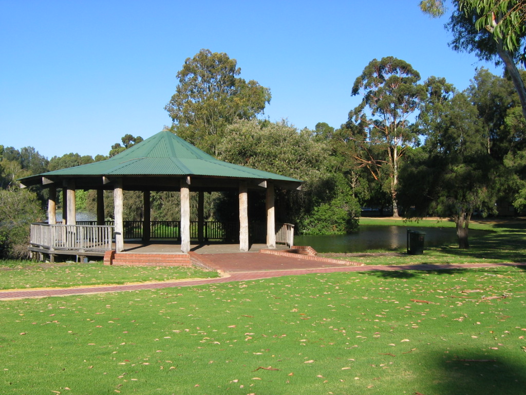
caption = Kagoshima Park.
lga = Town of Victoria Park
area = 3.4
postcode = 6100
pop = 1,183 (2001 census)
dist1 = 3
location1= Perth
est = 1890s
fedgov = Swan
stategov = Victoria Park
propval = $822,500 (Q1 2007)cite web|url=http://reiwa.com/res/res-iframe-suburbprofile-view.cfm?Stats_ID=231|title=Suburb Profile - Burswood|author=Real Estate Institute of Western Australia|year=2006|accessdate=2007-06-28]
near-nw =
near-n = (Swan River)
near-ne =
near-w = East Perth
near-e = Maylands
near-sw = Victoria Park
near-s = Victoria Park
near-se = LathlainBurswood is an inner southeastern suburb of Perth,
Western Australia , located immediately across the Swan River from Perth'scentral business district (CBD) via bothThe Causeway andGraham Farmer Freeway . Its Local Government Area is theTown of Victoria Park .Burswood contains the
Burswood Entertainment Complex and the Belmont Park racecourse.History
Burswood developed as two separate entities - the Burswood Island region, and the southernmost part which was part of Victoria Park until the 1990s.
Henry Camfield, a 30-year-old arrival at the
Swan River Colony in 1829, whose father's farm and estate inKent was called Burrswood, was granted convert|1000|acre|km2 of land opposite Claisebrook with two indentured servants and their families. The area was a low-lying peninsula leading to a ridge and steep, sandy hill with scrubland beyond, and became known as Burrswood Island in 1841 when a canal was cut through the peninsula so as to shorten the trip to Guildford, which had previously been encumbered by mud flats. By this time, the land was earning income and Camfield let it to tenants until he sold it in 1871. A statue of Henry Camfield is located in Burswood Park surrounding the entertainment complex today.During the 1890s, the railway was built through the area. The present spelling of "Burswood" resulted from a spelling error by the men who painted the station sign. [LandInfo WA|m|B|2007-05-15] Western Australia's first
golf course (9-hole) was built at Burswood Island in 1895 - the clubhouse was a mud hut - and in 1899 a racecourse was also built. In 1902 it became the Belmont Park Racecourse, and in 1906 the Goodwood railway station, which later became Belmont Park railway station opened.From 1900 until 1943 there were two racecourses Goodwood and Belmont Park, but Western Australian Turf Club bought both over and closed the second one down.
Efforts were made to establish a residential district at "Riversdale Estate", but the use of Burswood Island as part of a sewerage filtration system (1906-1934) and the existence of various light industries from the 1910s onward worked against development. Residents in the area requested a change of name and in 1921, the name Rivervale was adopted. [Dr
Geoff Gallop . "From The Swan To The Canning - Historical Notes on Victoria Park and Surrounding Districts", December 1989. Originally published in "Southern Gazette", 14 November 1989, p.8. Accessed at Battye Library, Perth.]In 1985, the development of the Burswood Island Resort, including a casino, rehabilitated the name and the suburb was gazetted as Burswood in 1993, also including the residential area of Victoria Park south of Burswood Road.
Geography
Burswood is bounded by the Swan River to the west, north and north-east;
Graham Farmer Freeway ,Great Eastern Highway and the Armadale railway to the east, and Shepperton Road and Harper Street to the south. Only a small section between Shepperton Road and the railway line is residential, although a new estate is being constructed near the resort and golf course.Streetsmart WA|maps=Map 371]At the ABS 2001 census, Burswood had a mostly above-average-income white population of 966 people living in 586 dwellings, many of which are townhouses or flats. About 15% of the population were of East or South-East Asian origin.Census 2001 AUS|id=SSC51206|name=Burswood (State Suburb)|accessdate=2007-04-25] Several apartment blocks exist on Hampton Street.
Facilities
The
Burswood Entertainment Complex , including two hotels, a 24hr casino, Convention Centre, seven restaurants, seven bars, a nightclub, theatre and an indoor stadium, is located within Burswood.Riverview Church is situated opposite Burswood Entertainment Complex. Other major facilities include the [http://www.statetenniscentre.com.au/ State Tennis Centre] and [http://www.burswoodparkgolfcourse.com/ Burswood Park Golf Course] .Transport
The Perth-Armadale rail line runs through this area and is serviced by the Burswood Train Station. Buses from the Victoria Park transfer station and along
Great Eastern Highway andCraig Street service the area. All services are operated by thePublic Transport Authority .A courtesy shuttle bus operated by the Burswood Resort ferries passengers between the train station and the
Burswood Entertainment Complex .Politics
The nearest booth, Homestead Seniors Centre in Victoria Park, is marginal at federal level, and supports the
Australian Labor Party at state elections.ee also
*
Burswood Entertainment Complex
*Riverview Church References
External links
Wikimedia Foundation. 2010.