- Darbechtar
-
Coordinates: 34°16′06″N 35°47′37″E / 34.26833°N 35.79361°E
Darbechtar
داربعشتارView of Darbechtar Location in the Republic of Lebanon
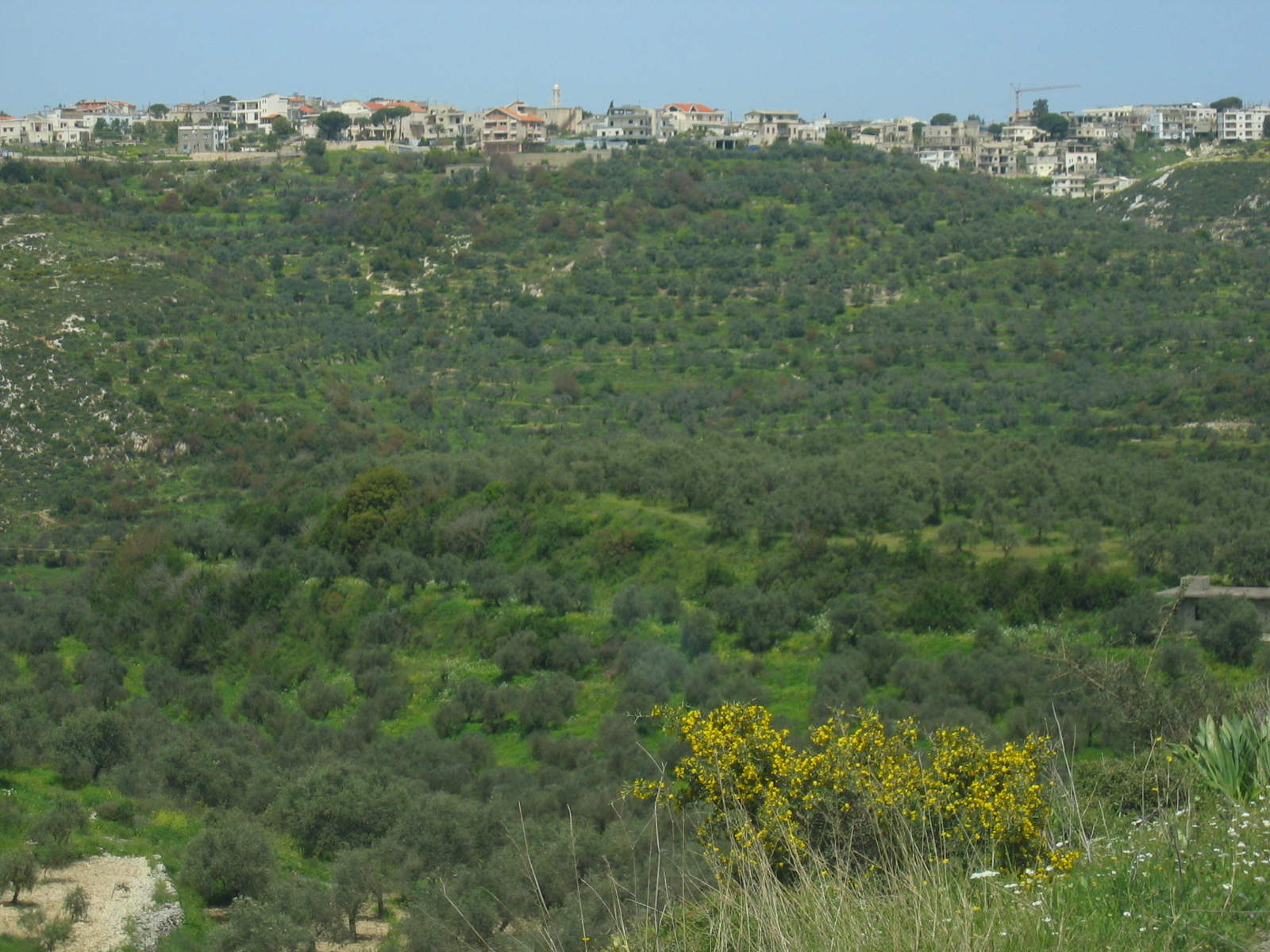
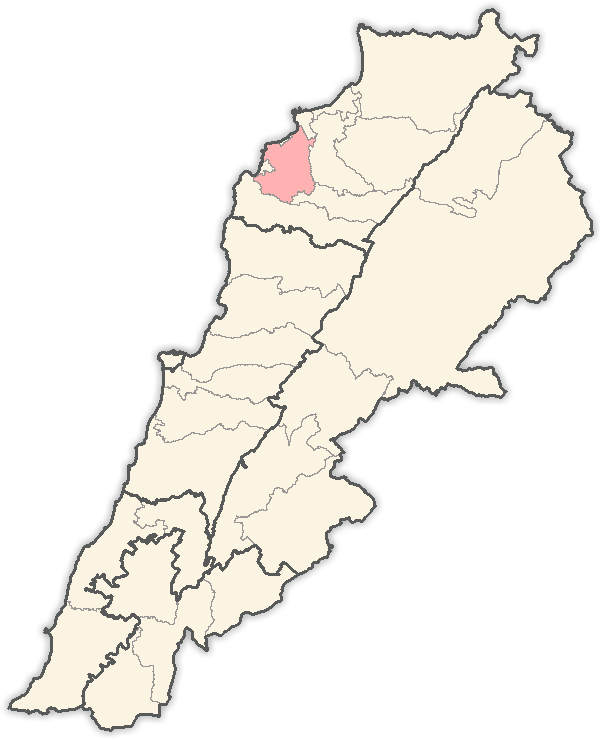
Coordinates: 34°16′06″N 35°47′37″E / 34.26833°N 35.79361°E Country Republic of Lebanon Governorate North District El-Koura Elevation 300 m (984 ft) Time zone +2 - Summer (DST) +3 (UTC) Website [Under Construction] 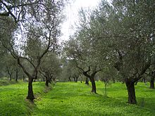 Green Olive Tree Field
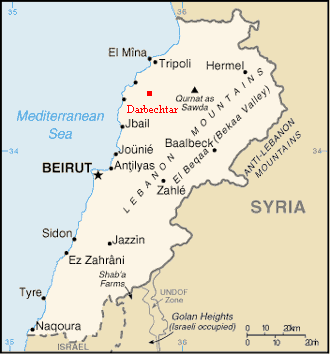
Darbechtar ( known also as Darb Ishtar, Arabic: داربعشتار) is a village located on the South-Eastern periphery of the Koura District in the North Governorate of the Republic of Lebanon.
Darbechtar borders the villages of Amyoun, Bziza, Majdel, Kaftoun, and Dar-shmizzine.
The Lebanese hailing from Darbechtar number 10,000 worldwide. 85% of them live outside Lebanon, mainly in Brazil, Australia, and the United States.
The population of Darbechtar is Maronite Catholic.
Contents
Etymology
The name of the village is derivative of the Aramaic words, Dar and Ishtar, meaning the House of Astarte. It is believed that the village was the site of an ancient Phoenician shrine for the Goddess of Fertility.
Climate
Darbechtar : Mediterranean plain village with heavy rains, mild winters and hot dry arid summers.
Min / Max average temperatures in Celsius Degree
Jan (8/16) Feb (9/16) Mar (10/19) Apr (13/22) May (16/25) Jun (19/27) Jul (22/29) Aug (23/30) Sep (20/29) Oct (17/27) Nov (13/22) Dec (10/18)Environment
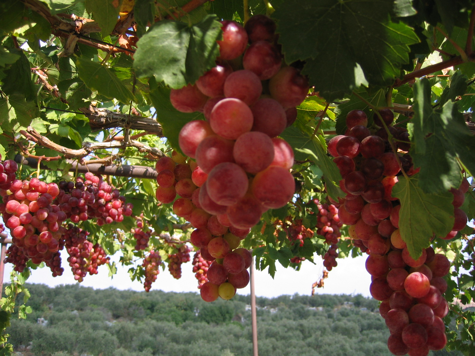
The village is the home of Olive oil production. Therefore most of the village is planted with the ever green Olive Trees along with Grapes, Figs, variety of bushes, plants, and flowers.
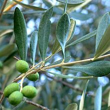 The Olive Fruit
Description of the Olive Tree
The Olive is an evergreen tree or shrub native to the Mediterranean. It is short and squat, and rarely exceeds 8-15 meters in height.
The silvery green leaves are oblong in shape, measuring 4–10 cm long and 1–3 cm wide. The trunk is typically gnarled and twisted.
The small white flowers, with four-cleft calyx and corolla, two stamens and bifid stigma, are borne generally on the last year's wood, in racemes springing from the axils of the leaves.
The fruit is a small drupe 1-2.5 cm long, thinner-fleshed and smaller in wild plants than in orchard cultivars. Olives are harvested at the green stage or left to ripen to a rich purple color(black olive).
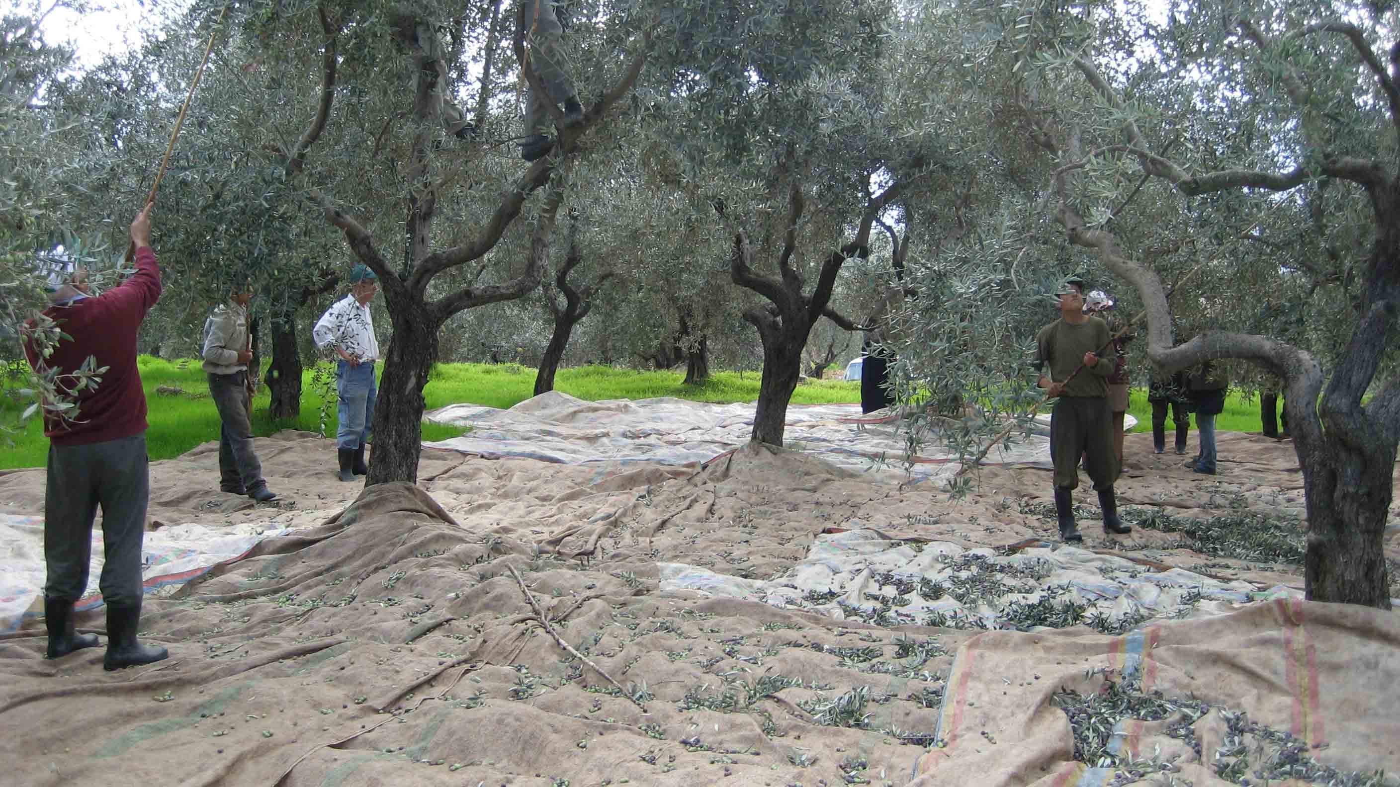
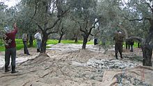 The Olive Fruit Harvest
Olive oil extraction
Traditionally, olive oil was produced by crushing olives in stone or wooden mortars or beam presses. Nowadays, olives are ground to tiny bits, obtaining a paste that is mixed with water and processed by a centrifuge, which extracts the oil from the paste, leaving behind pomace.
Uses of the Olive Fruit
Olive Oil is used in cooking, cosmetics, pharmaceuticals, and soaps, and as a fuel for traditional oil lamps. Olive oil is a healthful oil because of its high content of monounsaturated fat (mainly oleic acid) and polyphenols.
Places of worship
There are 4 places of Christian worship in Darbechtar mainly Churches:
- Church of Saint George
- Church of Saint Elias
- Church of Saint Chalita
- Church of our Lady of Saydeh
Photo gallery
-
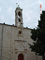
This is the Church of St. Georges.
-
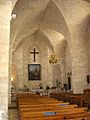
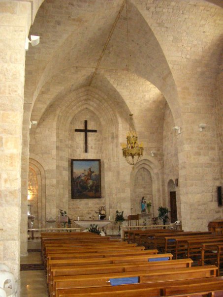
This is the interior of the Church of St. Georges.
-
This is the Church of Saydeh.
-
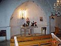
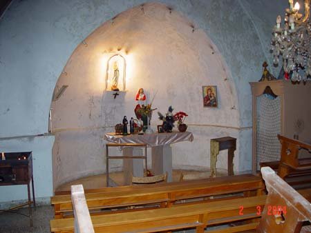
This is the interior of the Church of Saydeh.
-
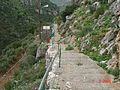
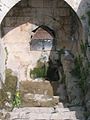
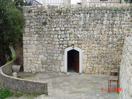
This is the way leading to the Cave of St. Elias.
-
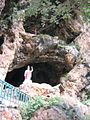
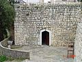
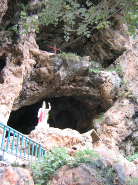
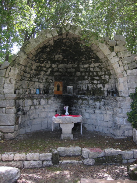
This is the Cave of St. Elias.
-
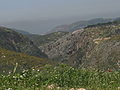
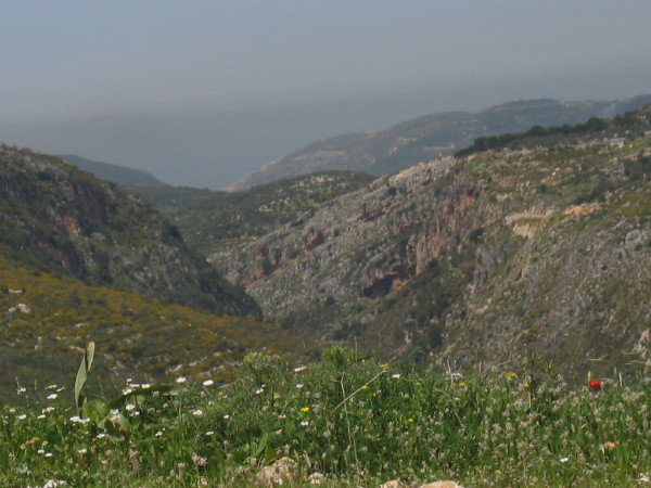
This is the Valley of St. Elias. The Cave of St. Elias is located in this Valley.
-
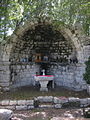
This is the Church of Mar Chalita.
-
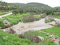
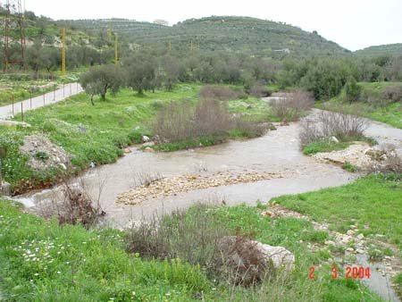
Naher el Asfour.
-
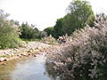
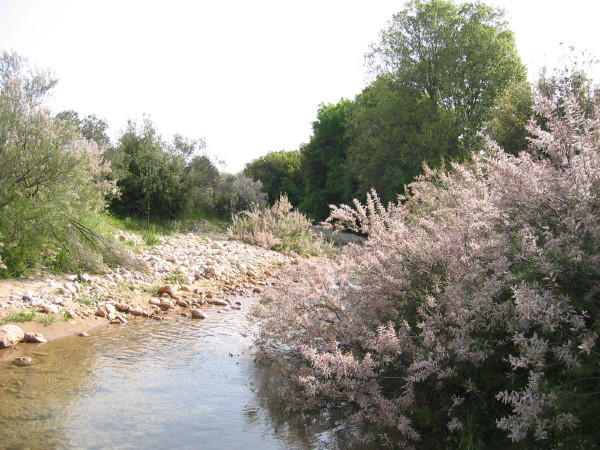
Naher el Asfour.
-
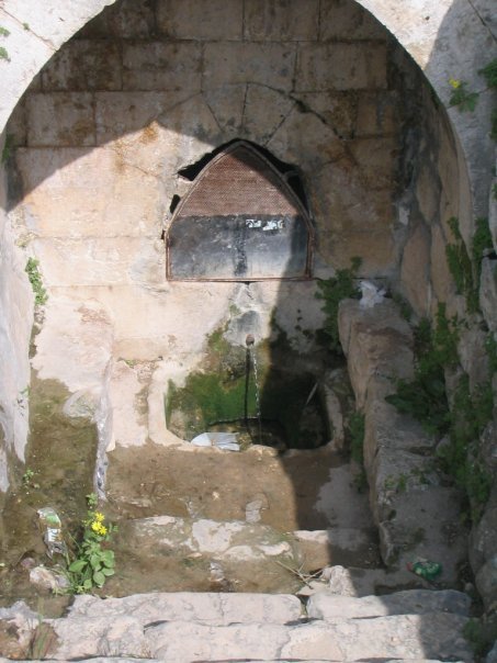
You can find a spring water outlet below ground level.
-
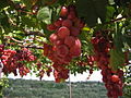
Delicious Grapes
-
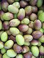
The Olive Fruit
Additional information
Koura Villages 1. .Aaba 2. .Afsdik 3. .Ain Akrine 4. .Ali-al-Mouran 5. .Amioun 6. .Anfeh 7. .Badebhoun 8. .Barghoun 9. .Barsa 10. .Bdebba 11. .Beitroumin 12. .Bechmezzine 13. .Bhabouch 14. .Bishriyata 15. .Bkomra 16. .Bneyel 17. .Bohssas 18. .Btourram 19. .Btouratige 20. .Bkeftine 21. .Bnehran 22. .Bsarma 23. .Btaaboura 24. .Bziza 25. .Charlita 26. .Chira 27. .Dahr-al-Ain . 28. .Darbechtar 29..Darchmezzine . 30. .Deddeh 31. .Fih 32. .Ijdebrine 33. .Kaftoun 34. .Kefraya 35. .Kelbata 36. .Kelhat 37. .Kfaraakka 38. .Kfarhata 39. .Kfarhazir 40. .Kfarkahel 41. .Kfarsaroun 42. .Kousba 43. .Maziriit Toula 44. .Mitrit 45. .Mijdel 46. .Nakhleh 47. .Rachedbine 48. .Ras Maska 49. .Ras Osta 50. .Wata Fares 51. .Zakroun 52. .Zakzouk Additional geographical information:
http://www.fallingrain.com/world/LE/3/Amioun.html
See also List of cities in Lebanon
Capital: Amioun Towns and villages 1. Aaba • 2. Afsdik • 3. Ain Akrine • 4. Ali-al-Mouran • 5. Amioun • 6. Anfeh • 7. Badebhoun • 8. Barghoun • 9. Barsa • 10. Bdebba • 11. Batroumine • 12. Bishmizzine • 13. Bhabouch • 14. Bishriyata • 15. Bkomra • 16. Bneyel • 17. Bohssas • 18. Btourram • 19. Btouratige • 20. Bkeftine • 21. Bnehran • 22. Bsarma • 23. Btaaboura • 24. Bziza • 25. Charlita • 26. Chira • 27. Dahr-al-Ain • 28. Darbechtar • 29. Darchmezzine • 30. Deddeh • 31. Fih • 32. Ijdebrine • 33. Kaftoun • 34. Kifraya • 35. Kelbata • 36. Kelhat • 37. Kfaraakka • 38. Kfarhata • 39. Kfarhazir • 40. Kaferkahel • 41. Kfarsaroun • 42. Kousba • 43. Maziriit Toula • 44. Mitrit • 45. Mijdel • 46. Nakhleh • 47. Rachedbine • 48. Ras Maska • 49. Ras Osta • 50. Wata Fares • 51. Zakroun
• 52. Zakzouk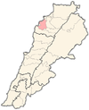 Categories:
- Populated places in the North Governorate
- Archaeological sites in Lebanon


Wikimedia Foundation. 2010.