- Munford, Alabama
-
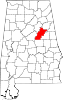
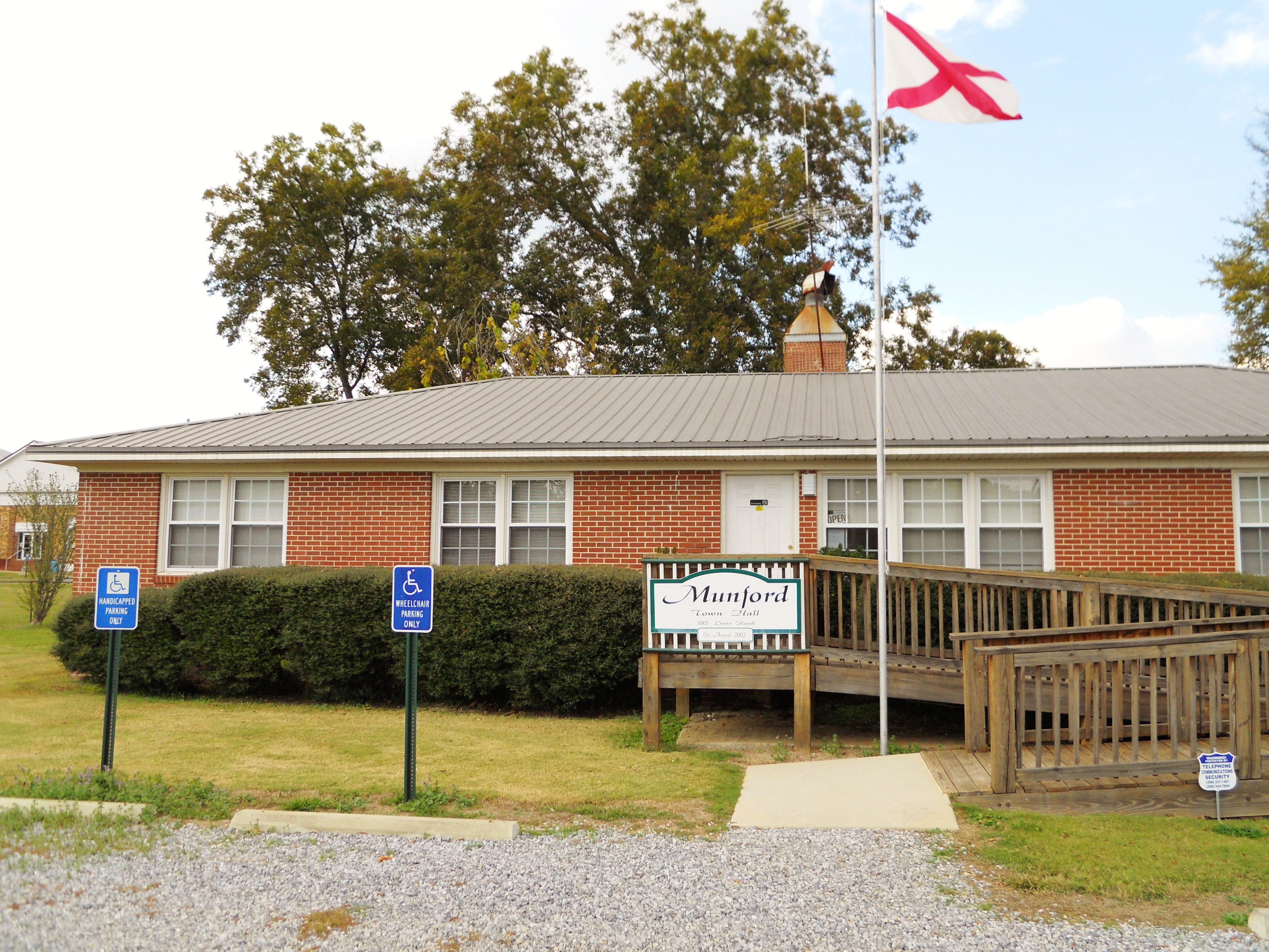
Munford, Alabama — CDP — Munford Town Hall Location in Talladega County and the state of Alabama
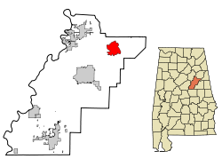
Coordinates: 33°32′0″N 85°57′15″W / 33.533333°N 85.95417°W Country United States State Alabama County Talladega Area – Total 11 sq mi (28.6 km2) – Land 11 sq mi (28.6 km2) – Water 0 sq mi (0 km2) Elevation 640 ft (195 m) Population (2000) – Total 2,446 – Density 222.4/sq mi (85.5/km2) Time zone Central (CST) (UTC-6) – Summer (DST) CDT (UTC-5) ZIP code 36268 Area code(s) 256 FIPS code 01-52848 GNIS feature ID 0160206 Munford is a town in Talladega County, Alabama, United States.[1] At the 2000 census (at which time it was a census-designated place[2]) the population was 2,446. It is the location of the last battle of the Civil War east of the Mississippi, the Battle of Munford on April 23, 1865 being one week after the Battle of Columbus (1865) in Georgia.
Geography
Munford is located at 33°32′1″N 85°57′15″W / 33.53361°N 85.95417°W (33.533494, -85.954242)[3].
According to the United States Census Bureau, the CDP had a total area of 11.1 square miles (29 km2), all of it land.
Demographics
As of the census[4] of 2000, there were 2,446 people, 912 households, and 706 families residing in the CDP. The population density was 221.4 people per square mile (85.5/km²). There were 980 housing units at an average density of 88.7 per square mile (34.2/km²). The racial makeup of the CDP was 70.81% White, 27.35% Black or African American, 0.49% Native American, 0.04% Pacific Islander, 0.29% from other races, and 1.02% from two or more races. 0.16% of the population were Hispanic or Latino of any race.
There were 912 households out of which 37.6% had children under the age of 18 living with them, 55.8% were married couples living together, 16.0% had a female householder with no husband present, and 22.5% were non-families. 18.9% of all households were made up of individuals and 8.0% had someone living alone who was 65 years of age or older. The average household size was 2.68 and the average family size was 3.05.
In the CDP the population was spread out with 27.6% under the age of 18, 8.3% from 18 to 24, 30.8% from 25 to 44, 22.4% from 45 to 64, and 11.0% who were 65 years of age or older. The median age was 34 years. For every 100 females there were 94.1 males. For every 100 females age 18 and over, there were 93.7 males.
The median income for a household in the CDP was $35,109, and the median income for a family was $39,205. Males had a median income of $26,098 versus $23,000 for females. The per capita income for the CDP was $15,346. About 0.9% of families and 5.2% of the population were below the poverty line, including none of those under age 18 and 8.1% of those age 65 or over.
References
- ^ U.S. Geological Survey Geographic Names Information System: Munford, Alabama
- ^ U.S. Geological Survey Geographic Names Information System: Munford, Alabama
- ^ "US Gazetteer files: 2010, 2000, and 1990". United States Census Bureau. 2011-02-12. http://www.census.gov/geo/www/gazetteer/gazette.html. Retrieved 2011-04-23.
- ^ "American FactFinder". United States Census Bureau. http://factfinder.census.gov. Retrieved 2008-01-31.
Coordinates: 33°32′01″N 85°57′15″W / 33.533494°N 85.954242°W
Municipalities and communities of Talladega County, Alabama Cities Childersburg | Lincoln | Oxford‡ | Sylacauga | Talladega
Towns Bon Air | Munford | Oak Grove | Talladega Springs | Vincent‡ | Waldo
CDPs Unincorporated
communitiesAlpine | Hopeful
Ghost town Footnotes ‡This populated place also has portions in an adjacent county or counties
Categories:- Towns in Alabama
- Former census-designated places in Alabama
- Populated places in Talladega County, Alabama


Wikimedia Foundation. 2010.