- Desert of Wales
-
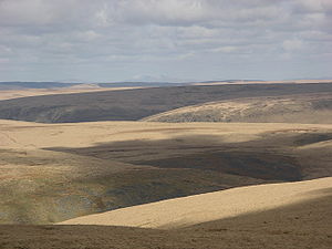 The Desert of Wales seen from Drygarn Fawr
The Desert of Wales is a term coined to describe a large area in central Wales, so called because of its lack of roads and towns and its inaccessibility. The term was invented by English travel writers in the nineteenth century and its equivalent is not found in the Welsh language. The area corresponds roughly to the upland area called Elenydd in Welsh and also referred to locally as the Cambrian Mountains.
Contents
Extent
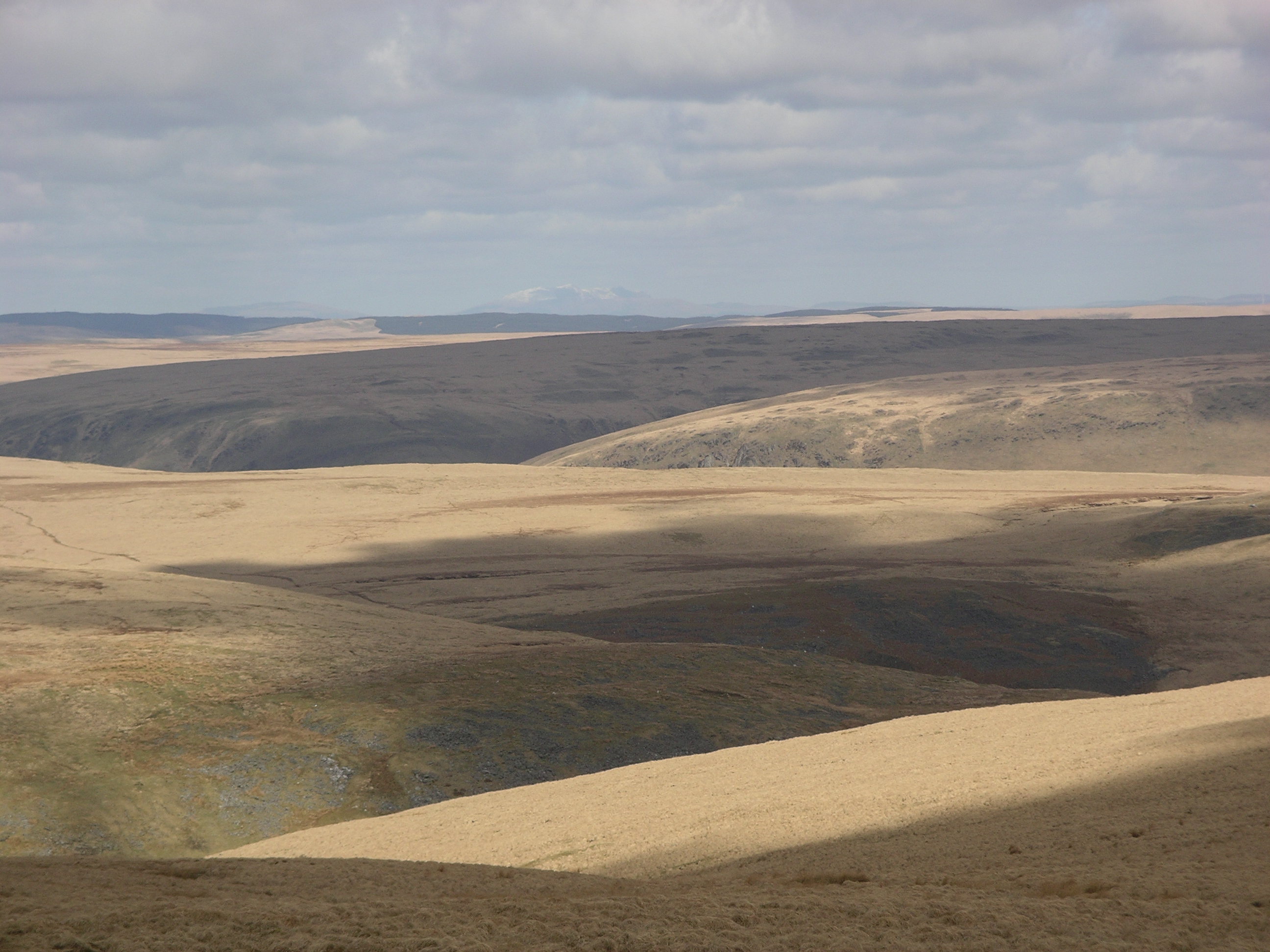
In this case the word "desert" is used in the sense of an area uninhabited by humans (as in "desert island"), not in the sense of an arid desert. The area has high rainfall and much of it is covered by peat overlain with moor grass or by plantations of non-native conifers. The soil tends to be acidic.[1] There is no exact definition of the extent of the Desert of Wales, but it is bordered to the east by the A470 and the town of Rhayader, to the south by the A483 from Builth Wells to Llanwrda, to the west by the A482 from Llanwrda to Pumpsaint, and from there northwards by a series of country roads up to Tregaron. The northern boundary is generally taken to be the A44 between Ponterwyd and Llangurig, although the substantial area of moorland to the north of this road, including the reservoirs of Nant y Moch and Llyn Clywedog, has similar topography. The term has been used to describe the area since at least 1860 when the following was written:
"The locality we were now traversing is one of the most untamed and desolate in either division of the Principality; it has indeed with perfect truth been called the "great desert of Wales." Vast sweeping ranges of hills with round tops, add to the dreary aspect of this nearly unpeopled region..."[2]
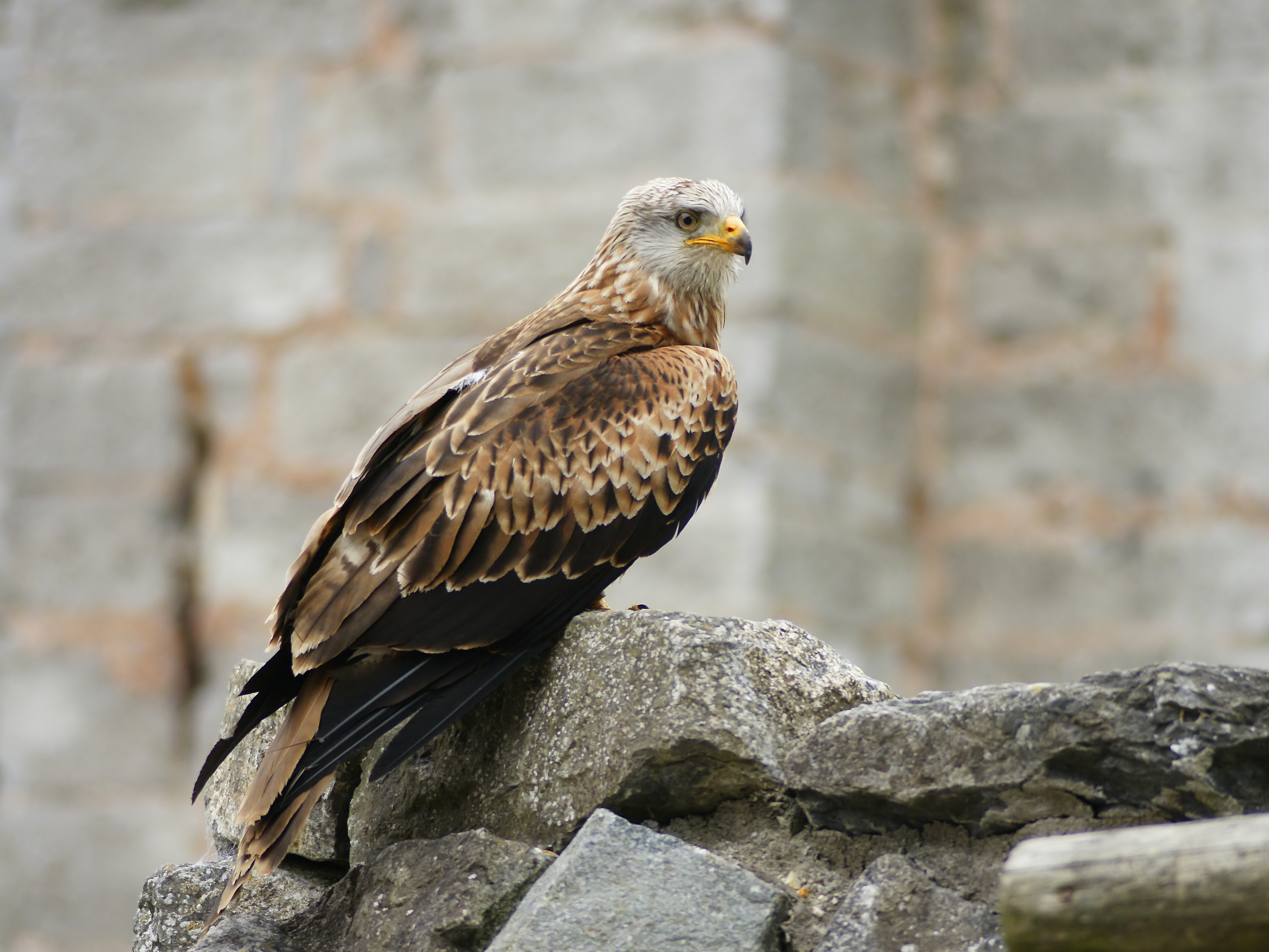
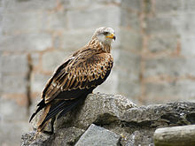 Red Kite
Travel across this area means using one of the few narrow country roads or travelling on foot or on horseback. It is an empty, beautiful area, where the visitor is likely to meet few other people. Although consisting largely of rolling hills, it does also include some gorges and steep valleys with ancient native Welsh Oak forest. This was the area that supported the last native Welsh red kites, and still supports their most welcome revival since about 1970.[1]
Water Resources
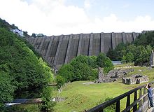 Below Clywedog reservoir dam
The area has many lakes and reservoirs, some of which supply drinking water to towns and cities in the English West Midlands (Claerwen group of reservoirs), to the towns of northern Ceredigion (Teifi Pools), and to towns all along the River Severn valley (Llyn Clywedog).
The ruins of Strata Florida Abbey on the road from Tregaron have a mystical quality, from both the age of the ruins and their location.
Footnotes
References
- Morgan, Gerald (2005). Ceredigion, A Wealth of History. Ceredigion, Wales: Gomer. ISBN 1843233487.
- Cliffe, John Henry (1860). Notes and Recollections of an Angler: Rambles Among the Mountains, Valleys, and Solitudes of Wales. London: Hamilton, Adams, & Co..
External links
Categories:- Elenydd
- Geography of Ceredigion
- Mountains and hills of Powys
- Mountains and hills of Wales
- Mountains and hills of mid Wales

Wikimedia Foundation. 2010.