- Shire of Tambellup
Infobox Australian Place | type = lga
name = Shire of Tambellup
state = wa
imagesize= 180
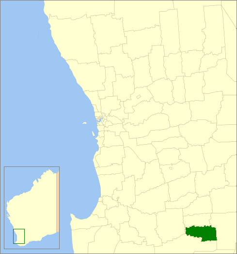
caption = Location inWestern Australia
pop = 670
density =
area = 1436.3
est = 1905
seat = Tambellup
region = Great Southern
near-nw = Kojonup
near-n = Broomehill
near-ne = Gnowangerup
near-e = Gnowangerup
near-se = Gnowangerup
near-s = Cranbrook
near-sw = Cranbrook
near-w = KojonupThe Shire of Tambellup was a Local Government Area in the Great Southern region of
Western Australia , about convert|40|km|mi|0 south of Katanning and about convert|330|km|mi|0 south-southeast of the state capital, Perth. The Shire covers an area of convert|1436|km2|sqmi|0, and its seat of government was the town of Tambellup.The Tambellup Road Board was gazetted in 1905. On 1 July 1961, it became a Shire Council following changes to the Local Government Act. [WA Electoral Commission, "Municipality Boundary Amendments Register" (release 2.0), 31 May 2003.] On 1 July 2008, after 10 months of planning and preparation, it merged with the neighbouring
Shire of Broomehill to form theShire of Broomehill-Tambellup .Wards
The shire was divided into 3 wards:
* Stirling Ward (3 councillors)
* Toolbrunup Ward (3 councillors)
* Warrenup Ward (3 councillors)Towns/Localities
* Tambellup
* Lake Toolbrunup
* TunneyReferences
Wikimedia Foundation. 2010.