- Tambellup, Western Australia
Infobox Australian Place
type = town
name = Tambellup
state = wa
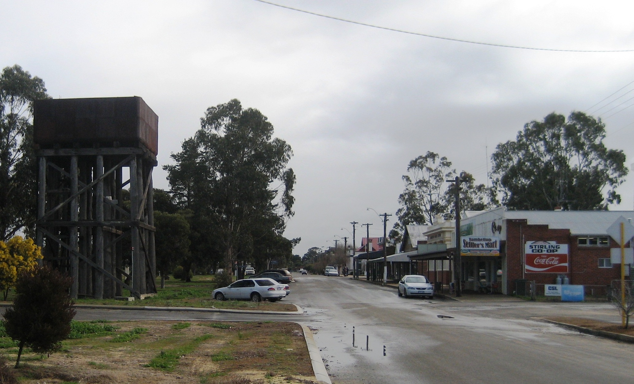
caption = Tambellup main street
lga =Shire of Tambellup
postcode = 6320
est = 1899
pop = 297 (2006 Census) [Census 2006 AUS|id=UCL525600|name=Tambellup (L) (Urban Centre/Locality)|accessdate=2008-09-14]
elevation= 269
maxtemp =
mintemp =
rainfall =
stategov = Wagin
fedgov = O'Connor
dist1 = 290
dir1 = South East
location1= Perth
dist2 = 40
dir2 = South
location2= Katanning
dist3 = 36
dir3 = West
location3= Gnowangerupcoord|-34.041|117.642|type:city(297)_region:AU-WA_scale:50000|format=dms|display=titleThe townsite of Tambellup is located in
Western Australia 's Great Southern Agricultural region, 317 km south-east of Perth on theGreat Southern Highway where it crosses the Gordon River. It is 23 km south of Broomehill.The area around Tambellup was first settled by pastoralists in the late 1840s, and in 1849 the Surveyor General,
John Septimus Roe , when passing through the area, referred to Morrison's south west station at "Tambul-yillup". The area was later settled by the Norrish family, and the spelling commonly used for the place then was "Tambellelup". When theGreat Southern Railway was opened in 1889 a station was established at Tambellup, and it appears that the shortened version of the name was created by the railway, as the timetable in 1889 uses the Tambellup spelling. Tambellup was gazetted a townsite in 1899. The meaning of this Aboriginal name is not known, although one source gives it as "place of thunder" (from Toombellanup). [LandInfo WA|c|T|2008-09-14] Another explanation is that Tambellup cames means "the place of many Tammars", Tammar being the Noongar word for a small marsupial that used to frequent the area. [cite web|url=http://archive.tambellup.wa.gov.au/community/history.html|title=The Shire of Tambellup - History|year=2008|accessdate=2008-09-14]Tambellup's main street is Norrish Street, named after its first European settler, Joseph Norrish, who in 1872 was attracted to the area by its large stands of "
Santalum spicatum " (commonly known as sandalwood). Today, the main industry in Tambellup is sheep farming, while sandalwood continues as a distant second. Much of the sandalwood is exported, and used in the manufacture ofjoss stick s.The Gordon River has flooded several times since Tambellup was established. The first recorded flood was in 1913, then again in 1937, then a major flood in 1955 when the river rose convert|6|m|ft|0 resulting in some parts of the town being convert|1|m|ft|0 underwater.
In January 1982, a decaying
tropical cyclone passed over the catchment area feeding the Gordon River causing it to flood the town. Much of the town, including the main street, was covered to a depth of about convert|1|m|ft|0.References
* [http://www.smh.com.au/news/Western-Australia/Tambellup/2005/02/17/1108500208694.html| "The Sydney Morning Herald", 8 February 2004]
* [http://www.hiddentreasures.com.au/tambellup.htm Hidden Treasures of the Great Southern]
* [http://www.albanygateway.com.au/town/tambellup/ Albany Gateway]
Wikimedia Foundation. 2010.