- City Mill River
-
City Mill Lock 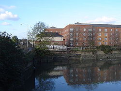
The Waterworks River. To the left is the lock leading to City Mill RiverWaterway Bow Back Rivers
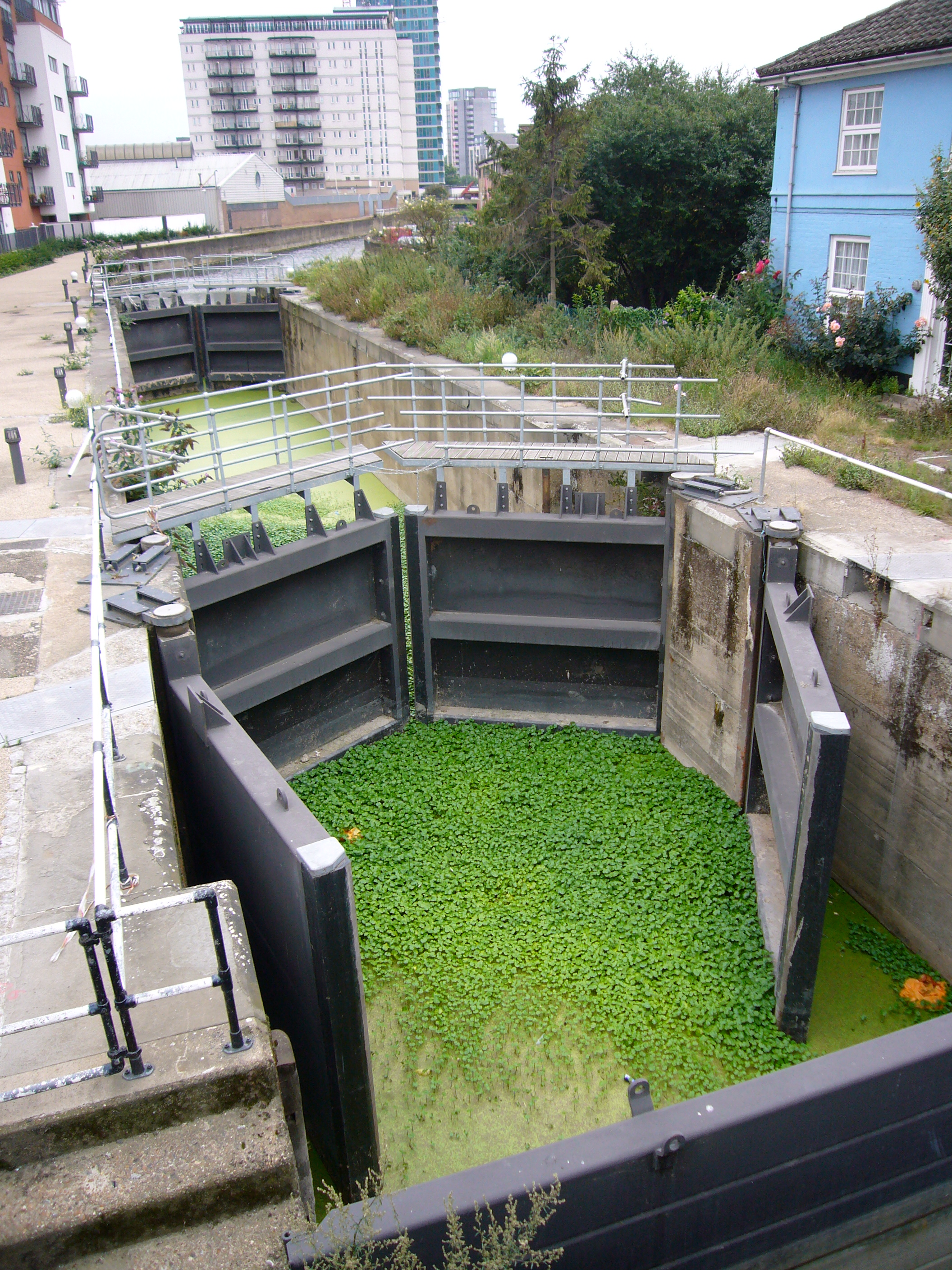
River LeeCounty Newham, Greater London Maintained by British Waterways Operation non-operational Geographical Data Coordinates 51°32′00″N 0°00′33″W / 51.533323°N 0.009146°WCoordinates: 51°32′00″N 0°00′33″W / 51.533323°N 0.009146°W City Mill River is part of the Bow Back Rivers in London. The lock, City Mill Lock is currently disused but, in conjunction with new homes built alongside, work is underway to re-open it, with an official ceremony due in July 2010. Before that however, work must be completed to clear the waterway of silt and plant growth (water pennywort, Hydrocotyle ranunculoides, a member of the apiaceae family). When the lock is opened it will reconnect Bow Back Rivers to the River Lea Navigation without having to use Prescott Lock and the tidal River Lea.
 City Mill Lock, showing both the infestation of water pennywort, and the pair of bi-directional tidal gates on the lock.
Counties Locks Hertford Lock · Ware Lock · Hardmead Lock · Stanstead Lock · Feildes Weir Lock · Dobbs Weir Lock · Carthagena Lock · Aqueduct Lock · Cheshunt Lock · Waltham Common Lock · Waltham Town Lock · Rammey Marsh Lock · Enfield Lock · Ponder's End Lock · Pickett's Lock · Stonebridge Lock · Tottenham Lock · Pond Lane Flood Gates · Old Ford Lock · Bow LocksWeirs Horns Mill Weir · Hertford Castle Weir · Hartham Weir · Ware Weir · Feildes Weir · Dobbs Weir · Carthagena Weir · Kings Weir · Newmans Weir · Middlesex Filter Beds WeirHertford Union Canal
(branch, below Old Ford)Limehouse Cut
(branch, at Bow Locks)Bow Back Rivers
(branches of the
Old River Lea)Three Mills Lock · City Mill Lock · Carpenter's Road Lock (defunct) · Marshgate Lane Lock (defunct) · Three Mills Wall River Weir
(These rivers form the waterways within the 2012 Olympic Park - they flow into Bow Creek)Categories:- Geography of Newham
- Locks of London
- Locks of the Lee Navigation
- London geography stubs

Wikimedia Foundation. 2010.