- Middlesex Filter Beds Weir
-
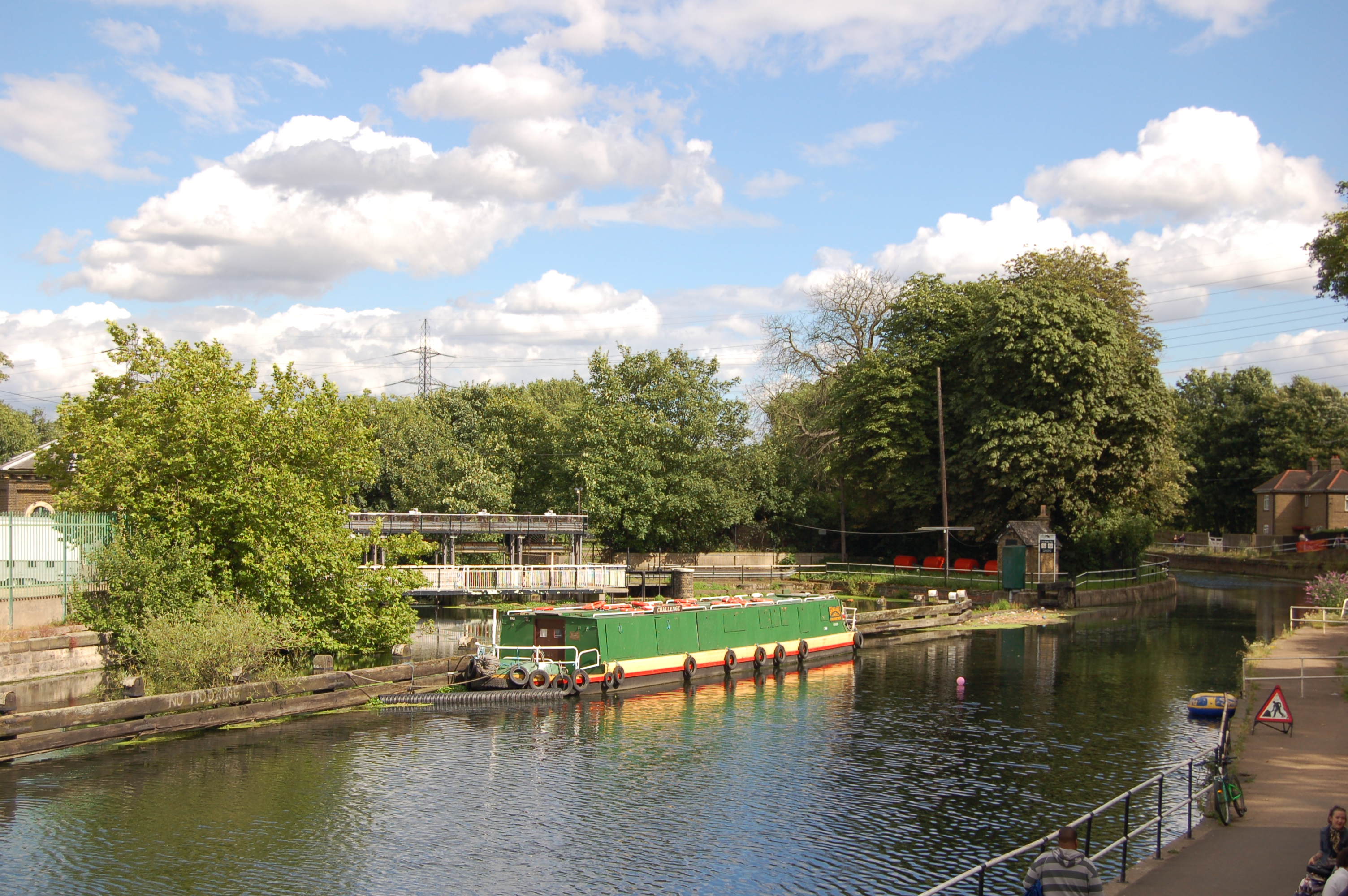
 The natural flow continues over the head of the weir, Hackney Cut continues the navigation to the right. The island between, contains a nature reserve in the former filter beds.
 The tail of the weir
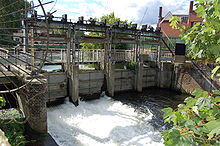
The Middlesex Filter Beds Weir, or Lea Bridge Road Weir, marks the start of the Hackney Cut, an artificial channel of the River Lee Navigation built in 1770, in the London Borough of Hackney. The weir lies between the former Middlesex Filter Beds – now a nature reserve – and the Thames Water treatment works at Lea Bridge Road.
Excess water from the Navigation passes over the weir into the former natural channel of the River Lee that passes in a large loop to the east of the modern water course, as the Old River Lea. The natural water course travels 2 miles (3.2 km) and rejoins the Navigation below Old Ford Lock.
Counties Locks Hertford Lock · Ware Lock · Hardmead Lock · Stanstead Lock · Feildes Weir Lock · Dobbs Weir Lock · Carthagena Lock · Aqueduct Lock · Cheshunt Lock · Waltham Common Lock · Waltham Town Lock · Rammey Marsh Lock · Enfield Lock · Ponder's End Lock · Pickett's Lock · Stonebridge Lock · Tottenham Lock · Pond Lane Flood Gates · Old Ford Lock · Bow LocksWeirs Horns Mill Weir · Hertford Castle Weir · Hartham Weir · Ware Weir · Feildes Weir · Dobbs Weir · Carthagena Weir · Kings Weir · Newmans Weir · Middlesex Filter Beds WeirHertford Union Canal
(branch, below Old Ford)Limehouse Cut
(branch, at Bow Locks)Bow Back Rivers
(branches of the
Old River Lea)Three Mills Lock · City Mill Lock · Carpenter's Road Lock (defunct) · Marshgate Lane Lock (defunct) · Three Mills Wall River Weir
(These rivers form the waterways within the 2012 Olympic Park - they flow into Bow Creek)Coordinates: 51°33′42″N 0°02′40″W / 51.5617°N 0.0445°W
Categories:- Weirs on the River Lea
- Buildings and structures in Hackney
- Geography of Hackney
- London building and structure stubs

Wikimedia Foundation. 2010.