- Chicot State Park
-
For the Arkansas State Park, see Lake Chicot State Park.
Chicot State Park 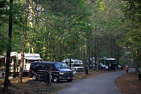
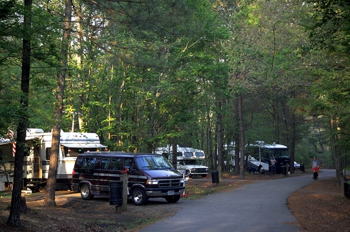
Campers on the grounds at the parkMap of Louisiana, United States of America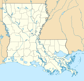

Location Evangeline Parish, Louisiana, United States of America Coordinates 30°48′01″N 92°16′47″W / 30.80028°N 92.27972°WCoordinates: 30°48′01″N 92°16′47″W / 30.80028°N 92.27972°W[1] Area over 6,400 acres (26 km2; 10.0 sq mi)[1][2] Established 1939[3] Governing body Louisiana Office of State Parks Official website Chicot State Park is located near Ville Platte, Louisiana. This wildlife reserve of South Central Louisiana features 6,400 acres (26 km2)[1] of rolling hills surrounding a 2,000-acre (8 km2) man-made lake[4] stocked with bass, crappie (sac-au-lait), bluegill, and red-ear sunfish. Chicot Park offers fishing boat rentals, pavilions, barbecue pits, picnic areas, restrooms, primitive hike-to campsites, lodges, and furnished cabins. The park is home to a number of wild animal species, including whitetail deer, raccoons, coyotes, and bobcats.
Contents
History
One of the older Louisiana parks, the park was added to the Louisiana State Park system in 1939. Under the direction of the National Park Service, the Civilian Conservation Corps significantly developed the area.[3]
Activities
Fishing is encouraged at the park with a boathouse, three boat launches, and boat rental facilities. The waters of Lake Chicot are habitat to largemouth bass, crappie, bluegill, and red-ear sunfish.[2]
A hiking/backpacking trail encircles the lake and supports several primitive campsites. The trail is tailored for mountain bikes and cycling is encouraged throughout the park.[2] The park includes a 22-mile (35 km) hiking trail.[4]
The southern landing includes cabins, group camp, lodge, picnic areas, playgrounds, and a swimming pool. The northern landing features campsites, a plagrounds, and a primitive group-camping area. The East landing includes a meeting room and barbecue pavilion.[2]
References
- ^ a b c "Chicot State Park - Louisiana Office of State Parks". http://www.crt.state.la.us/parks/ichicot.aspx. Retrieved 30 January 2011.
- ^ a b c d Louisiana State Parks Cajun Country Brochure. Louisiana State Parks. 2007.
- ^ a b 2009 Wall Calendar - 75 Years of Celebrating Louisiana's Treasures and Making Memories. Louisiana State Parks. 2009.
- ^ a b Office of State Parks - Teacher's Guide. Louisiana State Parks. 2002.
External links
Protected Areas of Louisiana Federal National Marine Sanctuary:Atchafalaya · Bayou Cocodrie · Bayou Sauvage · Bayou Teche · Big Branch Marsh · Black Bayou Lake · Bogue Chitto · Breton · Cameron Prairie · Cat Island · Catahoula · D'Arbonne · Delta · East Cove · Grand Cote · Handy Brake · Lacassine · Lake Ophelia · Mandalay · Red River · Shell Keys · Sabine · Tensas River · Upper Ouachita
State Bayou Segnette · Bogue Chitto · Chemin-A-Haut · Chicot · Cypremort Point · Fairview-Riverside · Fontainebleau · Grand Isle · Hodges Gardens · Jimmie Davis · Lake Bistineau · Lake Bruin · Lake Claiborne · Lake D-Arbonne · Lake Fausse Pointe · North Toledo Bend · Palmetto Island · Poverty Point Reservoir · St. Bernard · Sam Houston Jones · South Toledo Bend · Tickfaw
State Historic SitesAudubon · Centenary · Fort Jesup · Fort Pike · Fort St. Jean Baptiste · Forts Randolph & Buhlow · Locust Grove · Longfellow-Evangeline · Los Adaes · Mansfield · Marksville · Plaquemine Lock · Port Hudson · Poverty Point · Rebel State · Rosedown Plantation · Winter Quarters
State Preservation AreaState ForestsState Wildlife RefugesElmer's Island · Marsh Island · Rockefeller · St. Tammany · State · Terrebonne Barrier Islands · White Lake WetlandsWildlife management areasAcadiana Conservation Corridor · Atchafalaya Delta · Attakapas · Barataria Preserve · Bayou Macon · Bayou Pierre · Ben's Creek · Big Colewa Bayou · Big Lake · Biloxi · Bodcau · Boeuf · Bonnet Carre Spillway · Buckhorn · Camp Beauregard · Catahoula Lake · Clear Creek · Dewey Wills · Elbow Slough · Elm Hall · Floy Ward McElroy · Fort Polk · Grassy Lake · Hutchinson Creek · Indian Bayou · Jackson Bienville · Joyce · Lake Boeuf · Lake Ramsey Savannah · Little River · Loggy Bayou · Manchac · Marsh Bayou · Maurepas Swamp · Old River Control · Ouachita · Pass A Loutre · Pearl River · Peason Ridge · Pointe-aux-Chenes · Pomme de Terre · Red River · Russell Sage · Sabine Island · Sabine · Salvador/Timken · Sandy Hollow · Sherburne · Sicily Island Hills · Soda Lake · Spring Bayou · Tangipahoa Parish School Board · Thistlethwaite · Three Rivers · Tunica Hills · Union · Walnut Hill · West BayOther PrivateLouisiana Department of Culture, Recreation & Tourism (web) • Louisiana Department of Agriculture & Forestry (web) • Louisiana Department of Wildlife and Fisheries (web) Categories:- Protected areas of Evangeline Parish, Louisiana
- Louisiana state parks
- Louisiana geography stubs
- Southern United States protected area stubs

Wikimedia Foundation. 2010.