- Massachusetts Route 139
-
Route 139
Route information Length: 32.24 mi[1] (51.89 km) Major junctions West end: 
 Route 27/138 in Stoughton
 Route 24 in Stoughton
 Route 3 in Pembroke
East end:  Route 14 in Duxbury
Highway system Massachusetts State Highway Routes
← Route 138Route 140  →
→
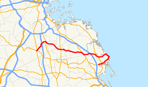
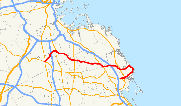
Route 139 is nominally a west–east state highway in southeastern Massachusetts.
Route description
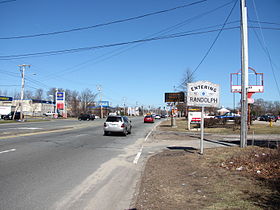
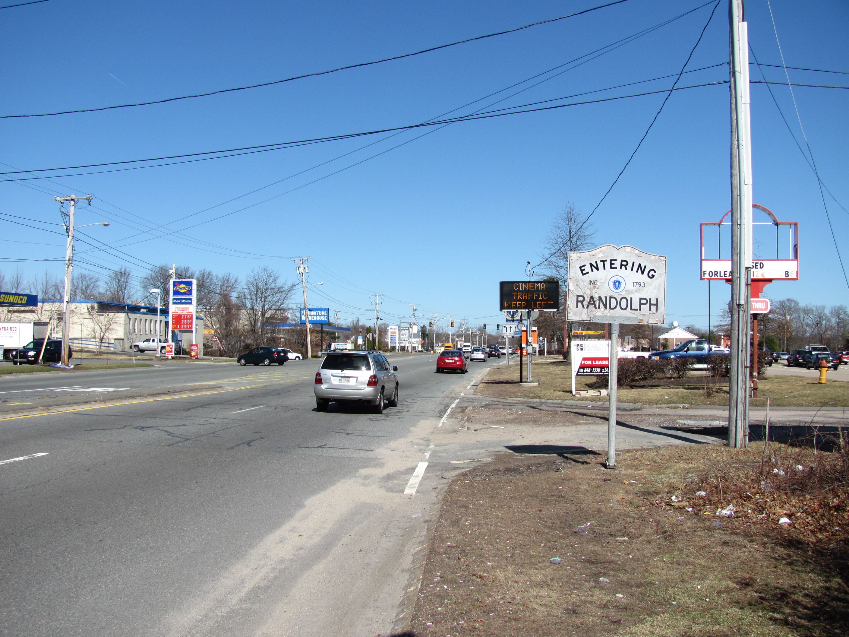
Route 139 begins in Stoughton Square at the southern junction of the Route 27 and 138 concurrency. The highway heads northeast until the junction with Route 24, at which point the highway heads almost due east. After the brief concurrency with Route 28 in Randolph, the highway heads in a generally east-southeasterly direction through Holbrook, the extreme southwest corner of Weymouth, the North Abington section of Abington, Rockland, Hanover, the northern edge of Pembroke, and Marshfield.
Once the highway reaches the shoreline in Marshfield, it turns in a south-southeasterly direction, passing through Fieldston, Ocean Bluff and Brant Rock, proceeding until just north of Brant Rock's esplanade. But then the highway heads west, while still signed east, for the last 4.5 miles (7.2 km), passing through Green Harbor before ending at Route 14 in Duxbury.
Junction list
County Location Street Names Milepost Roads Intersected Notes Norfolk Stoughton Pleasant Street
Turnpike Street
Lindelof Avenue0.00 Route 27/138Western terminus of Route 139. Westbound traffic on Route 139 defaults onto Route 27/138 north. Route 27/138 traffic in both directions can access Route 139 east. Route 24Route 24 Exit 20. Randolph Mazzeo Drive
Warren Street
North Main Street
Union Street Route 28
Northern terminus of Route 28/139 concurrency. Route 28Southern terminus of Route 28/139 concurrency. Holbrook
Union Street
Plymouth Street
Abington Avenue
Plymouth Street Route 37
Weymouth Anne Street (no major junctions) Plymouth Abington Randolph Street
Richard A. Fitts Drive
Randolph Street
North Avenue Route 18
 Route 58
Rockland North Avenue
Plain Street
Market Street Route 123
Western terminus of Route 123/139 concurrency. Route 123Eastern terminus of Route 123/139 concurrency. Hanover Hanover Street
Rockland Street
Columbia Road Route 53
Northern terminus of Route 53/139 concurrency. Pembroke Columbia Road
Washington Street
Schoosett Street
Water Street
Church Street Route 53Southern terminus of Route 53/139 concurrency. Route 3Route 3 Exit 12. Marshfield Plain Street
Ocean Street
Dyke Road
Careswell Street
Tremont Street Route 3A
Western terminus of Route 3A/139 concurrency. Route 3AEastern terminus of Route 3A/139 concurrency. Duxbury Tremont Street
Church Street Route 3A32.24 Route 14"Eastern" terminus of Route 139. Eastbound traffic defaults onto Route 14 west. Those wishing to access Route 14 east must turn left onto Temple Street 0.2-mile (0.32 km) before the end of Route 139. Route 14 traffic in both directions can access Route 139 west. References
- ^ Executive Office of Transportation, Office of Transportation Planning - 2007 Road Inventory
Categories:- Numbered routes in Massachusetts
- Duxbury, Massachusetts
- Marshfield, Massachusetts
- Pembroke, Massachusetts
- Hanover, Massachusetts
- Rockland, Massachusetts
- Abington, Massachusetts
- Weymouth, Massachusetts
- Holbrook, Massachusetts
- Stoughton, Massachusetts
- Randolph, Massachusetts
- Transportation in Norfolk County, Massachusetts
- Transportation in Plymouth County, Massachusetts

Wikimedia Foundation. 2010.