- Cranborne Chase
-
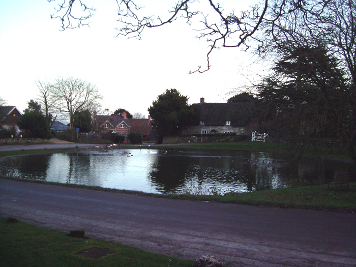
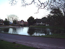 Ashmore pond
Cranborne Chase (grid reference ST970180) is a Chalk plateau in central southern England, straddling the counties Dorset, Hampshire and Wiltshire. The plateau is part of the English Chalk Formation and is adjacent to Salisbury Plain and the West Wiltshire Downs in the north, the Dorset Downs to the south west and the South Downs running south east. The scarp slope of the hills is to west, such as at Shaftesbury, and to some extent along the edge of the Vale of Wardour to the north. The chalk gently slopes south and dips under the clays and gravels.
An area of 379 square miles (981 square kilometres)of the Cranborne Chase and the West Wiltshire Downs has been designated an Area of Outstanding Natural Beauty (AONB), the sixth largest AONB in the country. The highest point is Win Green, in Wiltshire, at 910 ft (277 m).
Contents
History and archaeology
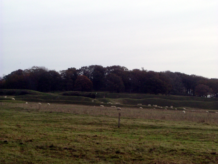
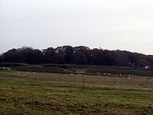 Badbury Rings
The downland has a long history with many earthworks and archaeology from the Neolithic age onwards. The dense woodland originally covering the downs would have gradually been cleared by the first farmers, but would have grown back repeatedly over the centuries as soils became exhausted and the agricultural carrying capacity of the land was exceeded several times over the course of six millennia. Much of the area therefore remained wooded from the Middle Ages until World War II.
There are many Neolithic and Bronze Age monuments, including the henge monuments at Knowlton and the remains of a number of Iron Age settlements on the downs, most notably the hill fort at Badbury Rings (Vindocladia). There is a Roman villa which has been dug by Time Team [1]. During the Saxon invasion of England the Romano-British kept the invaders out of Dorset by building Bokerley Dyke, a defensive ditch, across the Roman Road that runs across the downs from Dorchester to Old Sarum.
The downs have been sparsely populated since Saxon times, largely preserving archaeology until World War II when the need for agricultural land outweighed the archaeological importance. It was here that Augustus Pitt Rivers developed modern archaeological field work in the 19th century.
The downs are named after the village Cranborne, founded by the Saxons, which had a manor house and a small monastery. The word "chase" comes from the hunts, frequented by royalty (including Kings John, Henry VIII and James I), which took place on the downs. The Chase was owned by the Earl of Gloucester until it passed to King John by his marriage to Gloucester's daughter, Avisa. The land remained in the hands of the Angevin and Tudor monarchs until James I granted the rights to Robert Cecil, 1st Earl of Salisbury.
Much of the Chase is still owned by large estates such as Kingston Lacy.
Biodiversity
An area of 1,115 acres (451 ha) of Cranborne Chase has been notified as a biological Site of Special Scientific Interest, notification initially taking place in 1975.
See also
- Bowerchalke - Geological profile of a Lower Greensand inlier on chalklands of Cranborne Chase
External links
- Countryside Agency: Cranborne Chase and West Wiltshire Downs AONB
- AONB dedicated website
- Dorset County Council: Cranborne Chase AONB
- English Nature citation sheet for Cranborne Chase
- Cranborne Chase AONB Woodfair
References
- Pitt-Rivers, Michael, 1968. Dorset. London: Faber & Faber.
Coordinates: 50°57′41″N 2°02′39″W / 50.96142°N 2.04409°W
Categories:- Bronze Age sites in England
- Geology of England
- Hills of Dorset
- Hills of Wiltshire
- Hills of Hampshire
- Archaeological sites in Dorset
- Archaeological sites in Wiltshire
- Archaeological sites in Hampshire
- Roman villas in Dorset
- Sites of Special Scientific Interest in Wiltshire
- Sites of Special Scientific Interest notified in 1975
- Stone Age sites in England
Wikimedia Foundation. 2010.