- Jengish Chokusu
-
Jengish Chokusu Pobeda Peak / Victory Peak 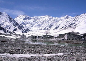
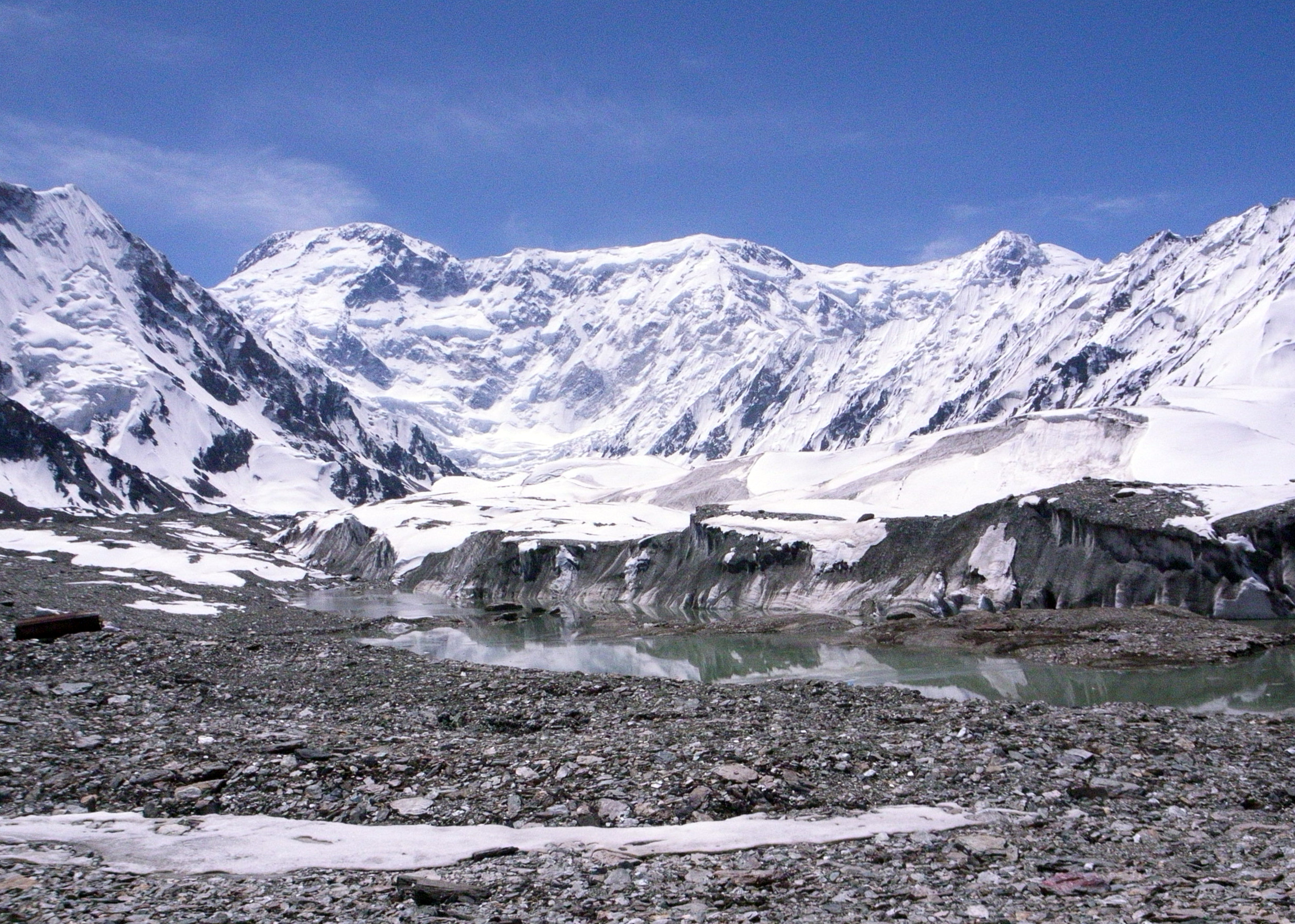
Jengish Chokusu from basecampElevation 7,439 m (24,406 ft) [1]
Ranked 60thProminence 4,148 m (13,609 ft) [1]
Ranked 16thListing Country high point
UltraLocation Location in Kyrgyzstan on the China border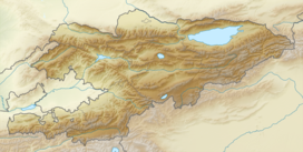
 Jengish Chokusu
Location China /
KyrgyzstanRange Kakshaal Too, Tian Shan Coordinates 42°02′15″N 80°07′30″E / 42.0375°N 80.125°ECoordinates: 42°02′15″N 80°07′30″E / 42.0375°N 80.125°E[1] Climbing First ascent 1956 by Vitaly Abalakov Easiest route snow/ice climb Jengish Chokusu (Kyrgyz: Жеңиш чокусу [dʒeŋiʃ tʃoqusú]; Russian: Пик победы [pʲik pˠaˈbʲɛdˠɨ]) is the highest mountain in the Tian Shan mountain system at 7,439 metres (24,406 ft). It lies on the Kyrgyzstan-China border, in the Kakshaal Too, the highest part of the Tien Shan, southeast of lake Issyk Kul.
Contents
Names
The mountain's official name in Kyrgyz is Jengish Choqusu, which means "Victory Peak"; its Russian name is Pik Pobedy (or Peak Pobeda) meaning the same. In Uighur, it is called Tömür, which is also the official name of the mountain in China. The Chinese name Tuōmù'ěr Fēng (simplified Chinese: 托木尔峰; traditional Chinese: 托木爾峰) is a combination of the Uighur tomur, meaning 'iron' and Chinese feng meaning 'peak'.
Description
Jengish Chokusu is a massif, with several summits along its lengthy ridge. Only its main summit breaks 7,000 m. It is located 16 km (9.9 mi) southwest of Khan Tengri (7,010 m / 22,998 ft), separated by the South Engilchek (or Inylchek) glacier, where base camps for both mountains are usually located. The massif runs at right angles to the glaciers it spills into three alpine valleys on the north (Kyrgyzstan), all eventually running to the Engilchek glacier, the largest in the Tian Shan. Its main summit is usually approached from the Zvozdochka (Russian for "little star") glacier, which is coloured red with rocks from Jengish Chokusu.
Administratively, the Kyrgyzstan side of the mountain is in the Ak-Suu District of Issyk-Kul Province, and the Chinese side, in Wensu County of the Aksu Prefecture of Xinjiang Uyghur Autonomous Region.
Records
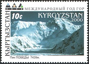 Jengish Chokusu (Pobeda Peak) on a Kyrgyzstan stamp.
Jengish Chokusu is the highest mountain in Kyrgyzstan. Jengish Chokusu has the most northerly 7,000-metre rock in the world, and by geologists is considered the most northerly 7,000-metre mountain. (Because mountains often contain ice caps on top of rock, mountaineers consider Khan Tengri, the Tian Shan's second highest peak, as the northernmost 7,000-metre summit.)
The South Inylchek (Enylchek) Glacier and its side glaciers occupy the entire north side of Peak Jengish Chokusu. This glacier, currently at 62 km in length, is the fourth longest outside of the world's polar regions.[2]
History
Although Jengish Chokusu is over 400 metres higher, Khan Tengri was believed to be the highest peak in the range until Jengish Chokusu's survey in 1946. A Russian expedition mounted in 1938 to mark the 20th anniversary of the founding of the Communist Youth movement Komsomol claimed to have climbed the highest peak in the area, the summit being reached on September 19 by L.Gutman, E. Ivanov and A. Sidorenko.They measured the altitude as 6900 meters, and named the peak Pik 20 Jahre Komsomol. Survey by another team in 1943 found the peak to be no less than 7439 meters high. The peak was renamed as Pik Pobeda (Victory Peak) in 1946 to commemorate the Russian victory in World War 2. The tremendous difference in altitude naturally led to the 1938 ascent being called into question, although the official Soviet stand is to uphold the 1938 ascent.[3] Jengish Chokusu's first indisputably verified ascent was in 1956 by Vitaly Abalakov's party.[4] A Chinese expedition climbed the peak from the Chinese side in 1977: the expedition book [5] makes no mention of the Russian first ascent and gives the impression that the Chinese ascent was the first climb. The first winter ascent of the peak was made by Valery Khrichtchatyi in February 1990. [6]
Notes
- ^ a b c "Jengish Chokusu (ex. Pik Pobeda)" on Peaklist.org Retrieved 23 September 2011
- ^ Tajikistan's Fedchenko Glacier is 77 km long, and the Karakoram's Siachen and Biafo Glaciers are 70 and 63 km long respectively. Measurements are from recent imagery, with Russian 1:200,000 scale topographic mapping for reference as well as the 1990 ‘’Orographic Sketch Map: Karakoram: Sheets 1 & 2’’, Swiss Foundation for Alpine Research, Zurich.
- ^ The Great Soviet Encyclopedia , 1979
- ^ "Pik Pobeda". SummitPost.org. http://www.summitpost.org/page/151896.
- ^ Planting the Five-Star Flag on Mount Tomur, Foreign Languages Press, Beijing, 1979
- ^ Chris Bonington, “Great Climbs”, p.206, ISBN 1-85732-573-7
External links
Categories:- Mountains of China
- Mountains of Kyrgyzstan
- China–Kyrgyzstan border
- International mountains of Asia


Wikimedia Foundation. 2010.