- Interstate H-2
Infobox road
state=HI
route=H2
type=I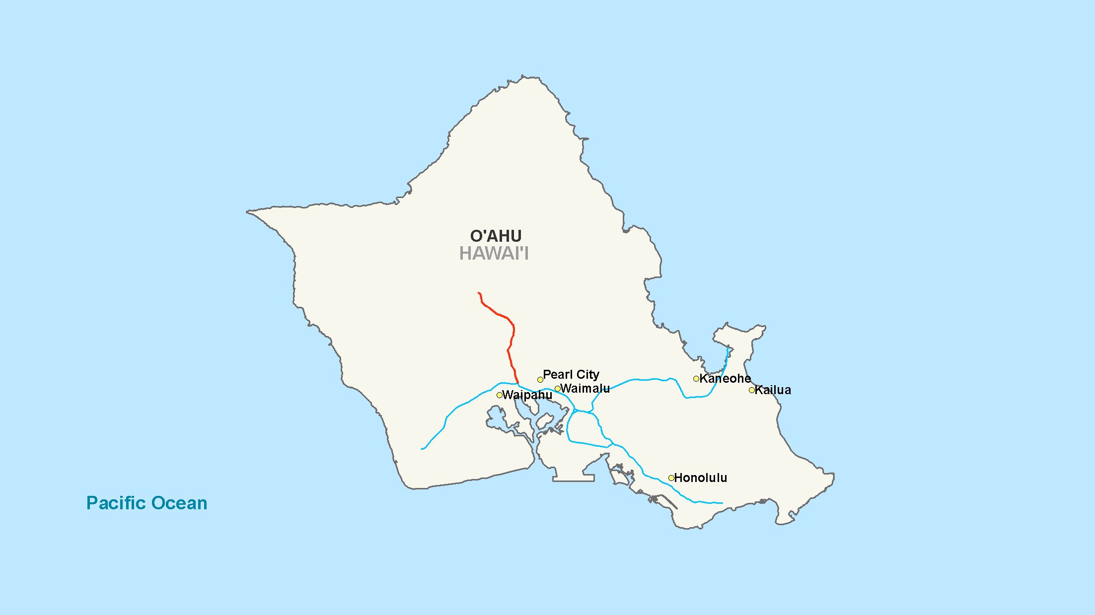
maint=
length_mi=8.33
length_round=2
length_ref= [ [http://www.fhwa.dot.gov/reports/routefinder/table1.htm Route Log - Main Routes of the Eisenhower National System Of Interstate and Defense Highways - Table 1] ]
year_established=
direction_a=South
terminus_a=Jct|state=HI|I|1 in Pearl City
junction=
direction_b=North
terminus_b=Jct|state=HI|Route|99 in Wahiawā
previous_type=
previous_route=
next_type=
next_route=Interstate H-2 (abbreviated H-2) is an intrastate
interstate highway located on the island of O‘ahu in Hawai‘i, USA. H-2 is also known as the Veterans Memorial Freeway. Despite the number, this is a north-south interstate—the 'H'-series (for Hawaii) numbering reflects the order in which routes were funded and built. Its southern terminus is atInterstate H-1 in Pearl City, and its northern terminus is at Wilikina Drive (Route 99) in Wahiawā near Schofield Barracks andWheeler Army Airfield .Route description
Interstate H-2 begins at the Waiawa Interchange of
Interstate H-1 . The highway heads north with four lanes in each direction, passing the community of Waipio and through the planned community of Mililani. At this point the highway narrows for its final three miles (5 km) as it reaches its terminus in Wahiawa, nearWheeler Army Airfield andSchofield Barracks .Exit list
References
Wikimedia Foundation. 2010.