- Pennsylvania Route 108
-
PA Route 108
Route information Maintained by PennDOT Length: 31.6 mi[1] (50.9 km) Existed: 1928 – present Major junctions West end: Mahoning CR 8 to 
 SR 170 / SR 617 at the Ohio state line near SNPJ
 I-376 near Mahoningtown
 PA 18 in Lawrence Junction
 PA 168 in New Castle
 PA 65 in New Castle
 US 19 near Harlansburg
 I-79 near Slippery Rock
 PA 173 in Slippery Rock
East end:  PA 8 in Adams Corner
Location Counties: Butler, Lawrence Highway system Roads in Pennsylvania
Interstate • US • State • Legislative←  PA 107
PA 110  →
→Pennsylvania Route 108 (PA 108) is a highway in Western Pennsylvania that runs for 32 miles (51 km) from the Ohio state line near SNPJ to Pennsylvania Route 8 in Adams Corner. PA 108 intersects US Route 422 in New Castle and US Route 19 near Harlansburg. PA 108 also has an interchange with Interstate 79 at exit 105.
Contents
Route description
Lawrence County
PA 108 begins at the Ohio border in North Beaver Township, Lawrence County, where the road continues southwest into that state as CR 8 in Mahoning County, provding access to SR 170 and SR 617. From the state line, the route heads northeast on two-lane undivided Mt. Jackson Road, passing through farmland with some woods and homes. The route skirts the northern border of S.N.P.J. in three places, curving more to the east-northeast. PA 108 continues through more rural areas of North Beaver Township, coming to an intersection with PA 551. At this point, the route turns north to form a concurrency with PA 551, remaining Mt. Jackson Road. The road curves northeast through more agricultural areas with some woodland and residences, turning more to the east into wooded areas with some homes. In the community of Mount Jackson, PA 551 splits from PA 108 by heading north along with PA 317. The route continues east-northeast through more farmland and woodland before passing through rural residential areas and coming to an interchange with I-376, becoming a divided highway at this point. Past this interchange, the road becomes undivided again and passes more homes before heading through woods and turning southeast, crossing the Mahoning River. Here, PA 108 becomes the border between Taylor Township to the west and New Castle to the east as it passes commercial establishments and comes to an intersection with PA 18.[1][2]
At this point, the route turns northeast to join PA 18 on Montgomery Avenue, fully entering New Castle and crossing a Norfolk Southern railroad line. The road continues east into residential areas, with the two routes turning northeast onto South Liberty Street. PA 18/PA 108 passes under two CSX railroad lines and becomes North Liberty Street, running past a mix of homes and businesses before passing under the US 422 freeway. The road continues through woodland and homes before heading into more residential areas. The two routes turn east onto Mahoning Avenue and head through industrial areas, crossing a New Castle Industrial Railroad line. The road heads east-northeast over the Shenango River and another New Castle Industrial Railroad line, coming to an intersection with PA 168. Here, PA 18 and PA 108 turn north to follow PA 168 on Moravia Street, passing more industry with some businesses. The road crosses two New Castle Industrial Railroad lines and becomes South Jefferson Street. PA 108 and PA 168 split from PA 18 by turning northeast onto four-lane undivided South Croton Avenue, passing between the Neshannock Creek to the northwest and industrial areas to the southeast. The road crosses US 422 Business and continues to an intersection with the northern terminus of PA 65. PA 108/PA 168 becomes North Croton Avenue and runs between the creek to the northwest and woods and homes to the southeast. The two routes turn away from the creek and head northeast through residential areas with some businesses. The road curves more to the east, with PA 168 splitting from PA 108 by heading northeast.[1][2]
PA 108 passes more homes before crossing into Hickory Township and becoming Harlansburg Road, heading through farmland and woodland with some homes. The road continues east through more rural areas, coming to an intersection with PA 388. A short distance past this intersection, the route heads into Scott Township and passes through McCaslin, running through more areas of farms and woods with occasional residences and turning more to the east-northeast. PA 108 comes to the residential community of Harlansburg, where it comes to an intersection with US 19. Past this intersection, the road heads northeast through more agricultural and wooded areas with a few homes, turning more to the east. The route passes through Elliott Mills, at which point it crosses into Plain Grove Township for a short distance.[1][2]
Butler County
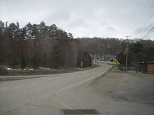
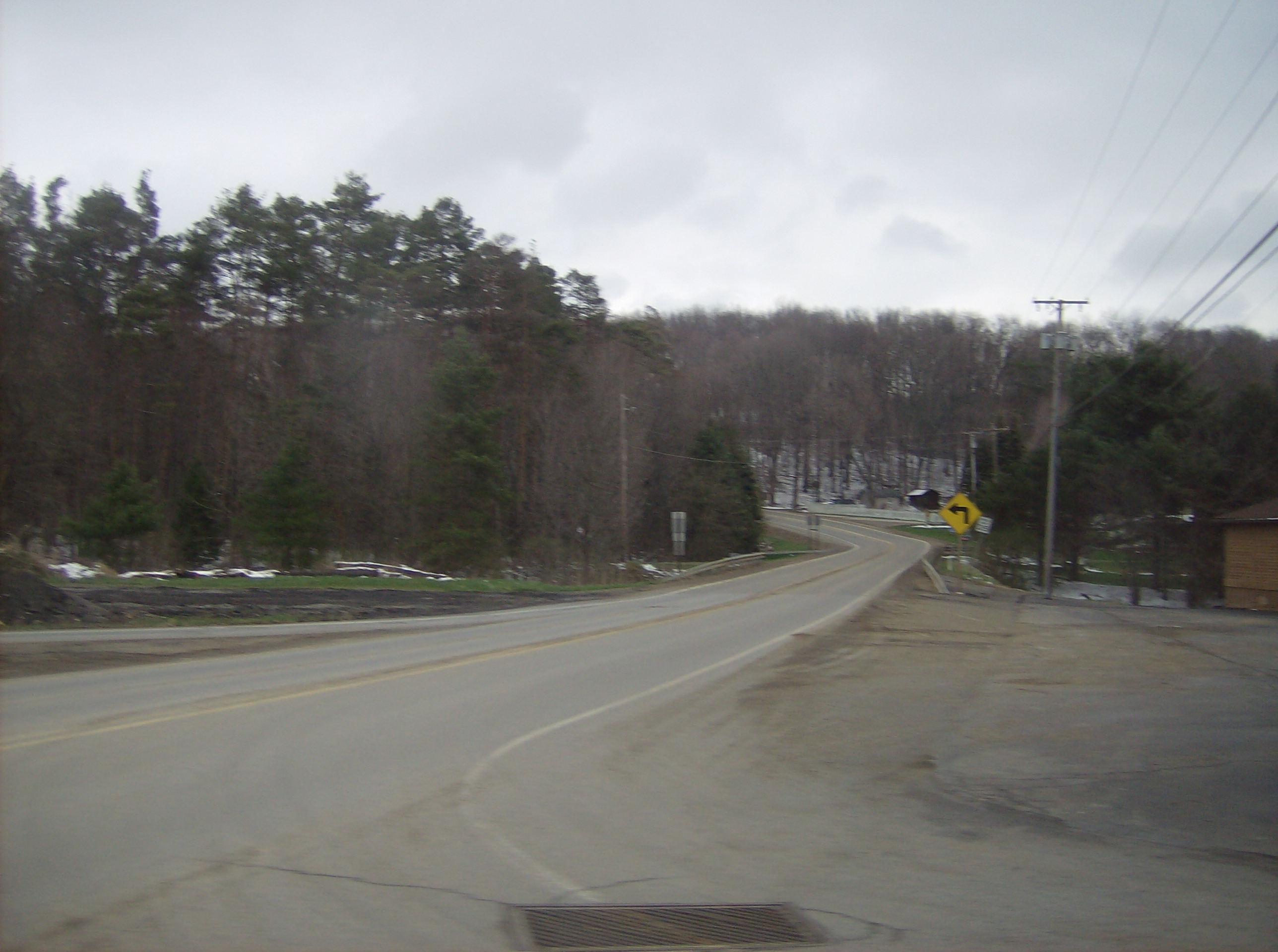
PA 108 enters Worth Township in Butler County and becomes New Castle Road, turning east-northeast and coming to an interchange with I-79. Past this interchange, the road runs through wooded areas with some fields and homes, crossing Wolf Creek. The route runs northeast through more rural areas, crossing into Slippery Rock Township. Farther northeast, PA 108 heads into Slippery Rock and becomes New Castle Street, passing through wooded areas of homes. The road heads into the commercial downtown, at which point it comes to an intersection with PA 173 and PA 258. Here, PA 173 turns northeast to form a concurrency with PA 108, and the two routes continue along Franklin Street. The road heads into residential areas, with PA 173 splitting to the north. The route crosses back into Slippery Rock Township and becomes Franklin Road, heading through a mix of farmland and woodland with occasional homes. PA 108 continues northeast to its eastern terminus at PA 8 in Adams Corners.[1][3]
Major intersections
County Location Mile[1] Destinations Notes Lawrence North Beaver Township 0.0 CR 8 (East Garfield Road) Ohio border  PA 551 south (Enon Road)
West end of PA 551 overlap  PA 317 west / PA 551 north (Mohawk School Road)
East end of PA 551 overlap I-376I-376 exit 17 New Castle PA 18 south (Montgomery Avenue)West end of PA 18 overlap PA 168 south (Moravia Street)West end of PA 168 overlap PA 18 north (South Jefferson Street)East end of PA 18 overlap 


 US 422 Bus. (Grove Street) PA 65 south (East Washington Street) PA 168 north (Eastbrook Road)
East end of PA 168 overlap Hickory Township  PA 388
Scott Township US 19 (Perry Highway)Butler Worth Township I-79I-79 exit 105 Slippery Rock  PA 173 south (South Main Street) / PA 258 north (North Main Street)
West end of PA 173 overlap PA 173 north (Slippery Rock Road)East end of PA 173 overlap Slippery Rock Township 31.6 PA 8 (William Flinn Highway)1.000 mi = 1.609 km; 1.000 km = 0.621 mi References
- ^ a b c d e f Google, Inc. Google Maps – overview of Pennsylvania Route 108 (Map). Cartography by Google, Inc. http://maps.google.com/maps?saddr=PA+108+and+state+line+road&daddr=PA+8+and+PA+108&hl=en&sll=40.978213,-80.347824&sspn=0.062595,0.169086&geocode=FQBqcAIdomAz-yntPF-et_UziDE0v1h4ckgWzA%3BFX4KcwIdakI7-ymdZfzN-3MziDGUj_eqVdQ0eQ&vpsrc=0&mra=ls&t=h&z=11. Retrieved September 1, 2011.
- ^ a b c PennDOT (2011). Lawrence County, Pennsylvania Highway Map (Map). ftp://ftp.dot.state.pa.us/public/pdf/BPR_pdf_files/Maps/GHS/Roadnames/lawrence_GHSN.PDF. Retrieved May 21, 2011.
- ^ PennDOT (2011). Butler County, Pennsylvania Highway Map (Map). ftp://ftp.dot.state.pa.us/public/pdf/BPR_pdf_files/Maps/GHS/Roadnames/butler_GHSN.PDF. Retrieved March 3, 2011.
Categories:- State highways in Pennsylvania

Wikimedia Foundation. 2010.