- Currie, Tasmania
-
Currie
Tasmania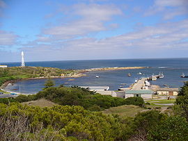
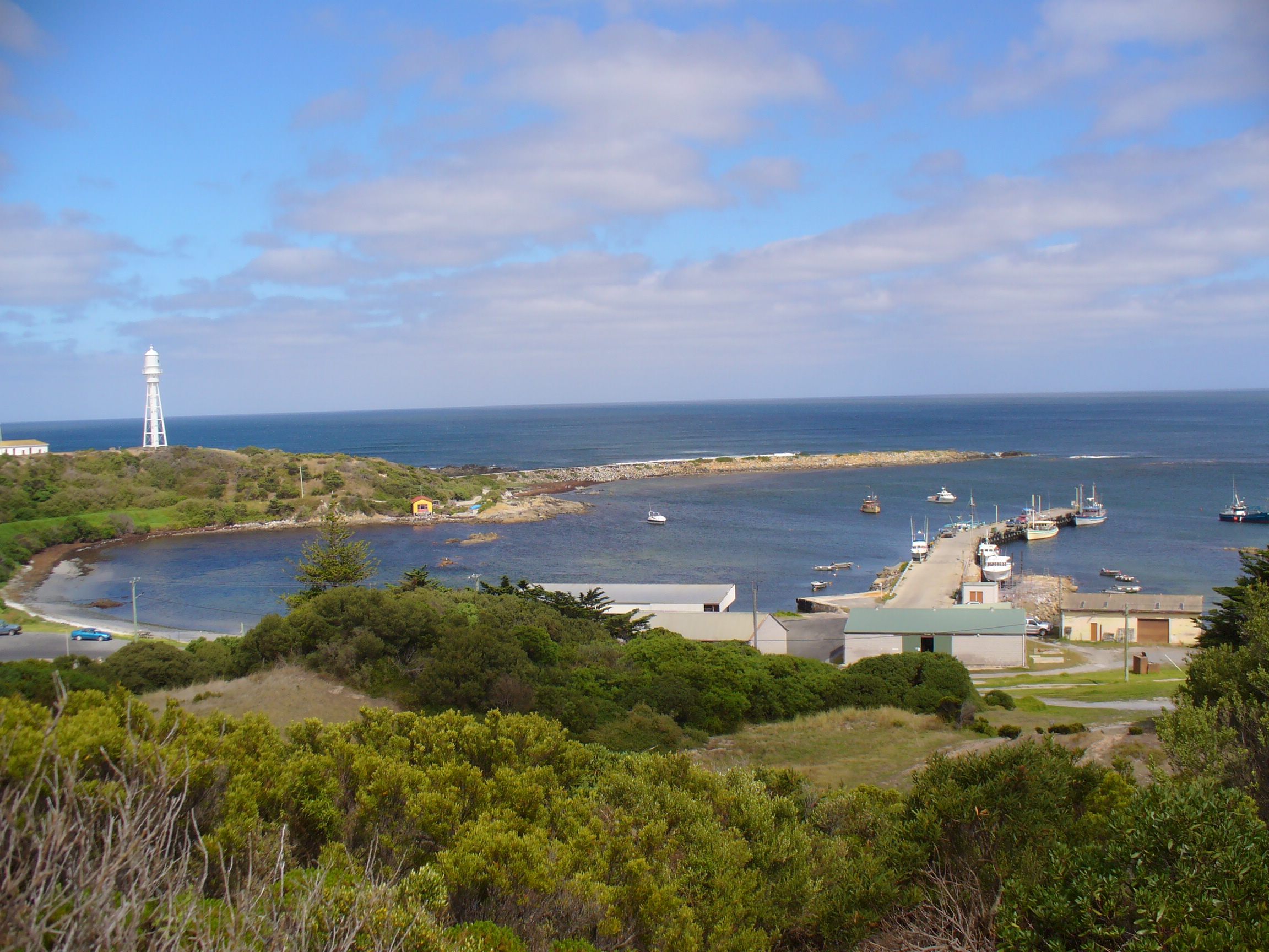
Currie Harbour, 2007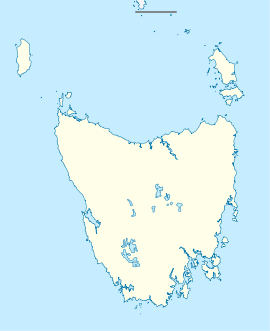
 Currie
Population: 746 (2006 Census)[1] Postcode: 7256 Coordinates: 39°55′52″S 143°51′02″E / 39.93111°S 143.85056°ECoordinates: 39°55′52″S 143°51′02″E / 39.93111°S 143.85056°E LGA: King Island Council Currie (postcode 7256) is the largest township on King Island, Tasmania, at the western entrance to Bass Strait. At the 2006 census, Currie had a population of 746.[1]
Geography
The town is situated in a partly sheltered natural harbour on the west coast of the island, which was originally named Howie's Boat Harbour after David Howie, an early visitor and unofficial resident of the island in the 1840s. It was renamed after Archibald Currie (1830–1914), a Melbourne shipowner who purchased the remains of the full-rigged ship Netherby wrecked near there in 1866, and used the harbour as a base for salvage operations. The harbour was used for similar operations on later wrecks in the vicinity including the British Admiral in 1874 and Blencathra in 1875, the latter being wrecked right at the entrance to the harbour.
Increasing knowledge of the surrounding landscape led to permanent agricultural settlement very soon afterwards, mostly grazing beef and dairy cattle. It is now the main port connecting the island with both Victoria and Tasmania and a significant centre for the fishing industry, especially rock lobster. There is also a nearby airport, King Island Airport, capable of handling medium-sized turbopropeller aircraft.
Lighthouse
Following agitation by Currie and others a lighthouse was completed at Currie Harbour in 1879.[2] Planned and fabricated by Chance Brothers in England, it was devised as a 21 metres tall square pyramidal truss iron tower with an iron cylinder centered inside and then shipped to Tasmania to be erected. After an inactive period from 1989 to 1995, the light is now active again. The light characteristic is "Fl. 6 s", i.e. one flash every six seconds. The lightsource's focal plane is situated 46 metres above sea level. The adjacent keeper's house was turned into a museum in 1980.
References
- Charlwood, Don (2005). The Wreck of the Sailing Ship "Netherby" - A Miracle of Survival (2005 ed.). Warrandyte, Victoria: Burgewood Books.
- Broxam, Graeme and Nash, Michael (1998). Tasmanian Shipwrecks, Volume One, 1797-1899 (1998 ed.). Woden, Australian Capital Territory: Navarine Publishing. ISBN 0-95865615-0.
- Laxon, William A. (2002). The Currie Line of Melbourne (2002 ed.). Caulfield, Victoria: Nautical Association of Australia.
- ^ a b Australian Bureau of Statistics (25 October 2007). "Currie (L) (Urban Centre/Locality)". 2006 Census QuickStats. http://www.censusdata.abs.gov.au/ABSNavigation/prenav/LocationSearch?collection=Census&period=2006&areacode=UCL603200&producttype=QuickStats&breadcrumb=PL&action=401. Retrieved 9 November 2011.
- ^ Rowlett, Russ. "Lighthouses of Australia: Tasmania". The Lighthouse Directory. University of North Carolina at Chapel Hill. http://www.unc.edu/~rowlett/lighthouse/tas.htm.
Categories:- Towns in Tasmania
- King Island (Tasmania)
- Lighthouses in Tasmania
- Tasmania geography stubs
- Lighthouse stubs

Wikimedia Foundation. 2010.