- Minnesota State Highway 57
-
Trunk Highway 57
Route information Maintained by Mn/DOT Length: 24.578 mi[2] (39.554 km) Existed: 1934[1] – present Major junctions South end:  U.S. 14 at Kasson
 MN 60 at Wanamingo
North end:  U.S. 52 at Hader, in Wanamingo Township
Location Counties: Dodge, Goodhue Highway system Minnesota Trunk Highways
Interstate • U.S. • State
Inter-County • County roads • Legislative routes←  MN 56
MN 56MN 58  →
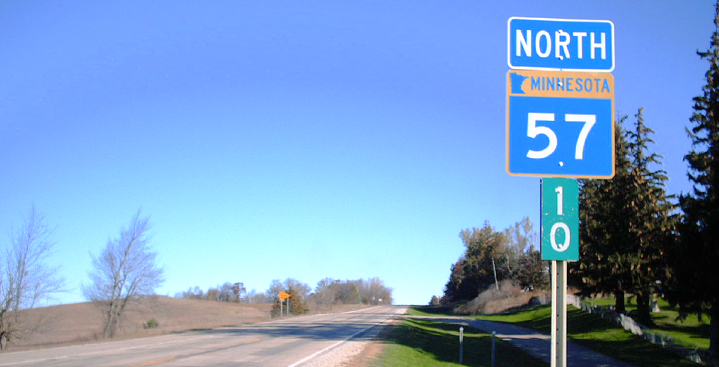
→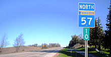 State Highway 57 at mile 10, just north of Berne.
Minnesota State Highway 57 is a highway in southeast Minnesota, which runs from its interchange with U.S. Highway 14 in the city of Kasson and continues north to its northern terminus at its intersection with U.S. Highway 52 in the unincorporated community of Hader in Wanamingo Township.
Highway 57 is 25 miles (40 km) in length.
Contents
Route description
Highway 57 serves as a north–south route in southeast Minnesota between Kasson, Mantorville, Wanamingo, and Hader.
Highway 57 is a two-lane undivided highway its entire length, except for a small portion in in the city of Kasson. The route begins in Kasson, and heads through the center of town. Two miles north of Kasson, the route enters historic Mantorville and goes by some landmarks, such as the Hubbell House. North of Mantorville, Highway 57 is very lightly traveled and doesn't enter another incorporated city for twenty miles (32 km). The route intersects State Highway 60 at Wanamingo. Highway 57 then heads north four more miles to its northern terminus at its intersection with U.S. Highway 52 in Hader.
Highway 57 is also known as Mantorville Avenue in the city of Kasson. The route is also known as Main Street in the cities of Mantorville and Wanamingo.
History
Highway 57 was first commissioned as Minnesota Constitutional Route 57 in 1920. Constitutional Route 57 only extended from Highway 14 in Kasson to Mantorville. The remainder of the route north to Hader was authorized in 1934. Highway 57 was completely paved by 1958. The route was extended south of the original terminus in Kasson in 1980 to meet the U.S. 14 bypass.[3]
Highway 57 was the shortest constitutional route in the 1920 Minnesota highway plan, then only three miles in length between Kasson and Mantorville.
Major intersections
County Location Mile[2] Destinations Notes Dodge Kasson 0.000-0.127 US 14 - Rochester, OwatonnaDiamond interchange with intersections on Highway 57 0.455 CR 34 (Main Street) Old U.S. 14 Mantorville Township 3.800 CR 16 Milton Township 9.921 CR 24 east - Pine Island 10.067 CR 24 west - West Concord Goodhue Cherry Grove Township 14.427  CR 11
CR 11Wanamingo 19.502 MN 60 - Kenyon, ZumbrotaWanamingo Township 24.395 US 52 - Cannon Falls, Zumbrota1.000 mi = 1.609 km; 1.000 km = 0.621 mi References
- ^ Riner, Steve. "Details of Routes 51-75". The Unofficial Minnesota Highways Page. http://www.steve-riner.com/mnhighways/r51-75.htm#57. Retrieved July 10, 2007.
- ^ a b "Trunk Highway Log Point Listing - Construction District 6" (PDF). Minnesota Department of Transportation. August 23, 2010. http://www.dot.state.mn.us/roadway/data/reports/logpoint/d6.pdf. Retrieved October 23, 2010.
- ^ Froehlig, Adam. "Minnesota Highway 57". Minnesota Highway Endings. http://www.ajfroggie.com/roadpics/mn-ends/mn057.htm. Retrieved July 10, 2007.
Categories:- State highways in Minnesota

Wikimedia Foundation. 2010.