- Marquam Bridge
-
Marquam Bridge 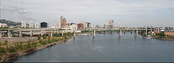
Carries  Interstate 5
Crosses Willamette River Locale Portland, Oregon Maintained by ODOT ID number 08328 Design Cantilever truss Total length 1043 feet (318.2 m) Width 57 feet Longest span 440 feet (134.1 m) Vertical clearance <35 feet northbound Clearance below 130 feet Opened October 1966 Coordinates 45°30′29″N 122°40′11″W / 45.50810°N 122.66972°WCoordinates: 45°30′29″N 122°40′11″W / 45.50810°N 122.66972°W 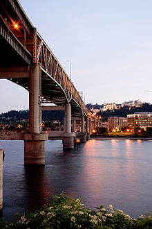 A view of the bridge at dusk
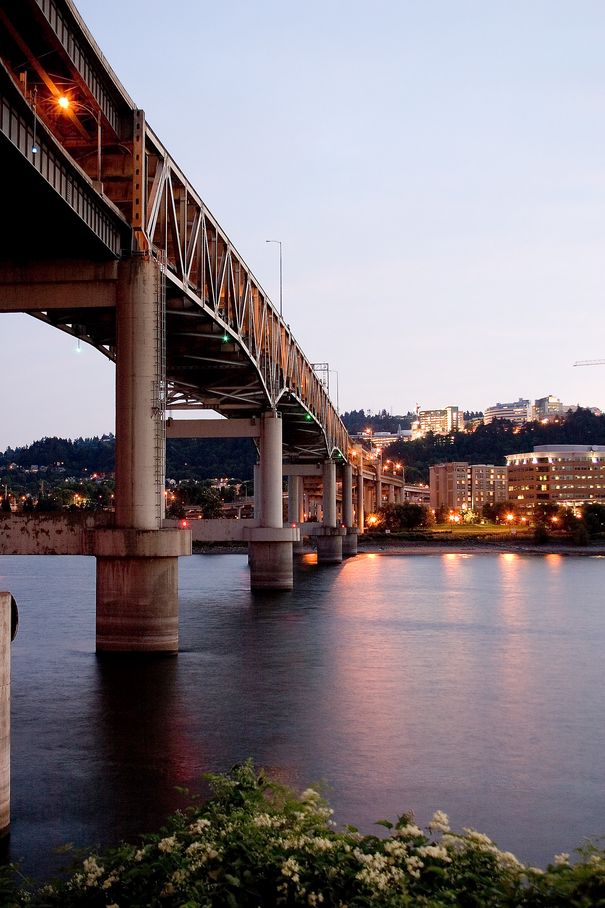
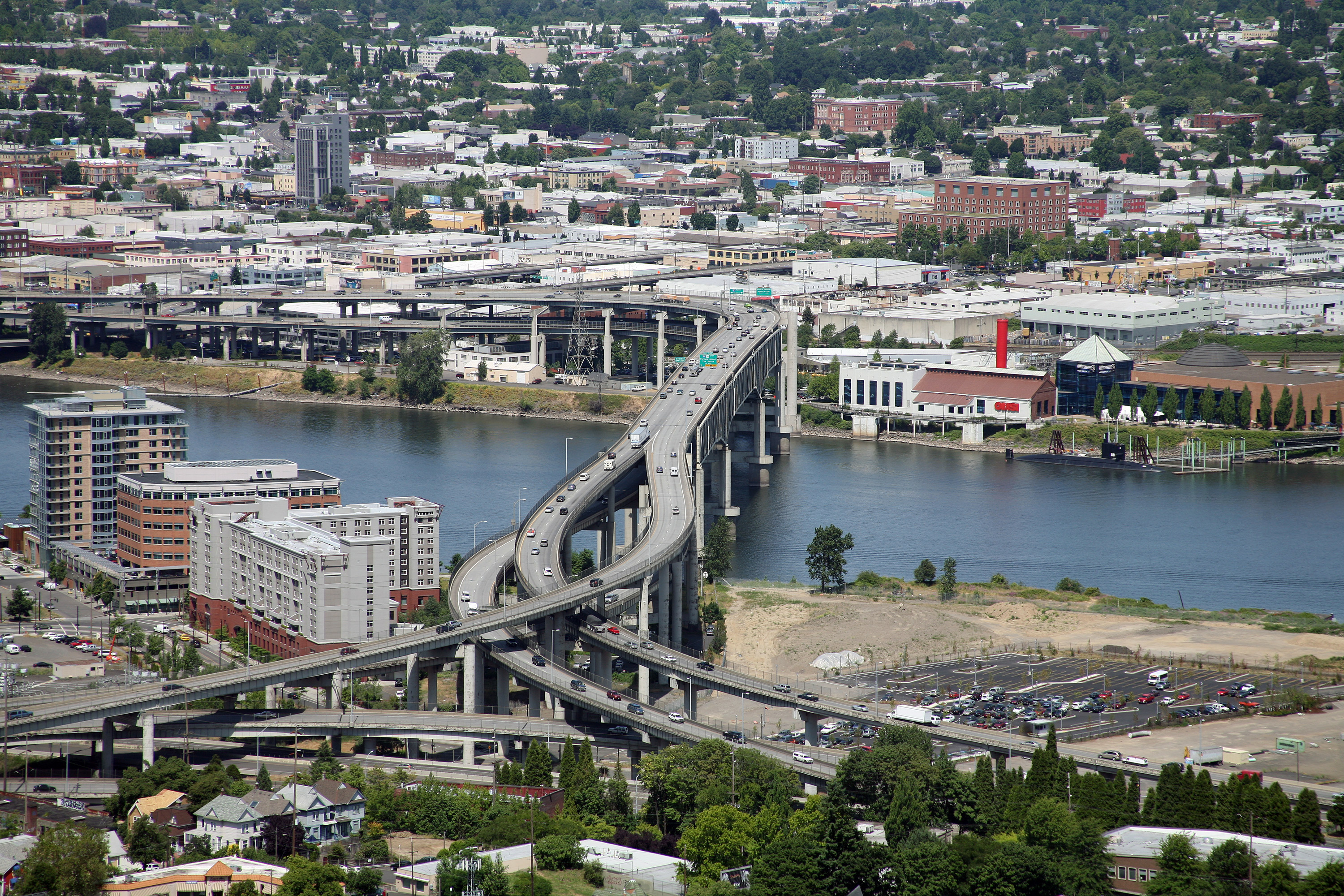
 The Marquam Bridge over the Willamette River, viewed from the southwest, atop Marquam Hill
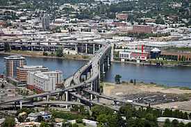
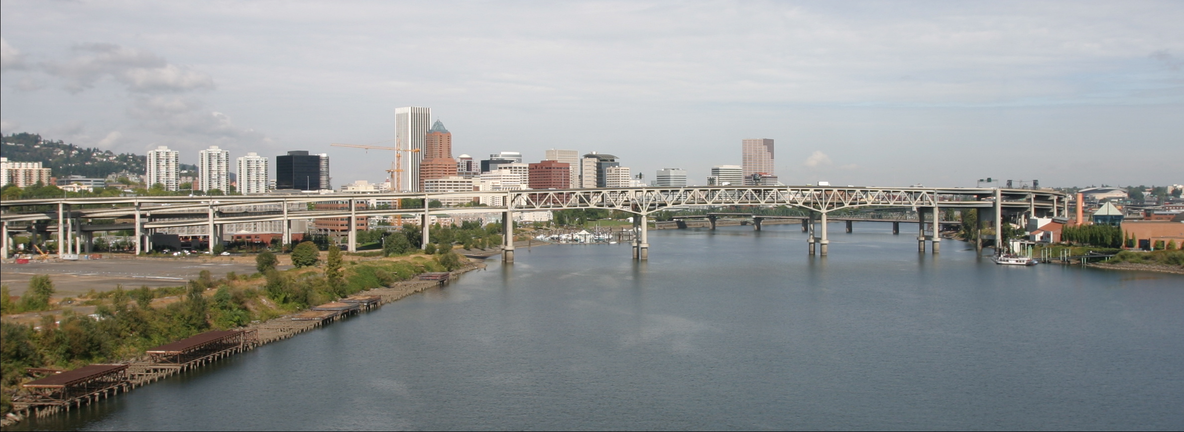
The Marquam Bridge is a double deck cantilever bridge that carries Interstate 5 traffic across the Willamette River south of downtown Portland, Oregon. It is the busiest bridge in Oregon, carrying 135,900 vehicles a day as of 2008.[1] The upper deck carries northbound traffic; the lower deck carries southbound traffic.
The bridge was designed and built by the Oregon Department of Transportation at a cost of $14 million. The lower southbound deck was opened on October 4, 1966, and the upper northbound deck on October 18, 1966. The main span of the bridge is 440 ft (130 m) long and the two side spans are 301 ft (92 m) each. The vertical clearance of the lower deck is 130 feet (40 m) and the upper deck is 20 feet (6.1 m) above the lower. The bridge is named after Philip Marquam, a state legislator and Multnomah County judge, who owned much of Marquam Hill where Oregon Health & Science University and the Veterans Affairs Medical Center now stand. At the eastern end of the bridge, on the lower deck, is a ramp stub which was intended to connect to the cancelled Mount Hood Freeway. As it has great importance, the Marquam was the first Portland bridge to undergo a seismic retrofit in 1995.
It was built with economy in mind and the public reacted unfavorably to the structure's aesthetics, including a formal protest from the Portland Arts Commission.[2] (In particular, it blocked the view of downtown from the Union Avenue Viaduct.) This led to public input in the design of the Fremont Bridge. During Mayor Vera Katz's State of the City address in 2001, she said, "It’s like having the Berlin Wall dividing east and west, with all the subtle charm of the Daytona 500 smack dab in the middle of our city."[3]
In recent years, there has been much talk about replacing this bridge. Originally, the bridge was designed with three lanes in each direction with shoulders on each deck. Today, it carries four narrow lanes and no shoulders on each deck. Options historically considered have been to reroute I-5 over the existing I-405 alignment, connecting I-84 to I-5 at the Fremont Bridge interchange, following the US-30 alignment, and removing the Marquam permanently. Another option would build a tunnel under the Willamette River approximately following the existing I-5 alignment, and removing the Marquam Bridge permanently. No proposed replacements as of 2008 have kept the existing bridge, or have made it out of committee.[citation needed]
See also
References
- ^ (PDF) Historical Traffic Data. Oregon Department of Transportation. http://www.oregon.gov/ODOT/TD/TDATA/tsm/docs/2008_TVT.pdf. Retrieved 2006-11-06.
- ^ Wood, Sharon (2001). The Portland Bridge Book. Oregon Historical Society. ISBN 0-87595-211-9.
- ^ Hamilton, Don (January 18, 2002). "East-side story" (PDF). Portland Tribune. p. 2. http://www.riverfrontforpeople.org/media/012002_tribune.pdf. Retrieved 2006-11-06.
External links
- Historical photo of construction
- ODOT: Trans Dev - Transportation Data Traffic Counting Program
- Marquam Bridge at Structurae
- Photo gallery of the completed Marquam Bridge
Bridges in the metropolitan area of Portland, Oregon Across the Willamette River
(north to south)St. Johns Bridge • Burlington Northern Railroad Bridge 5.1 • Fremont Bridge • Broadway Bridge • Steel Bridge • Burnside Bridge • Morrison Bridge • Hawthorne Bridge • Marquam Bridge • Caruthers Bridge (under construction) • Ross Island Bridge • Sellwood Bridge • Lake Oswego Railroad Bridge • Abernethy Bridge • Oregon City Bridge • Boone BridgeAcross the Columbia River
(west to east)miscellaneous Blue Bridge (Reed College campus) • Gibbs Street Pedestrian Bridge (under construction, across I-5) • Main Street Bridge (MAX in Hillsboro) • Oregon Slough Railroad Bridge (North Portland Harbor) • Sauvie Island Bridge (Multnomah Channel) • Vista Bridge (Goose Hollow)See also: Transportation in Portland, Oregon • List of crossings of the Columbia River • List of crossings of the Willamette River Crossings of the Willamette River Upstream
Caruthers BridgeMarquam Bridge

Downstream
Hawthorne BridgeFreeways in the Portland, Oregon Metropolitan Area Radial Circumferential Bridges Interstate Bridge • Glenn L. Jackson Memorial Bridge • Fremont Bridge • Marquam Bridge • Abernethy Bridge • Boone BridgeCategories:- Cantilever bridges
- Bridges in Portland, Oregon
- Bridges completed in 1966
- Interstate 5
- Bridges over the Willamette River
- Road bridges in Oregon
Wikimedia Foundation. 2010.