- Main Street (Vancouver)
-
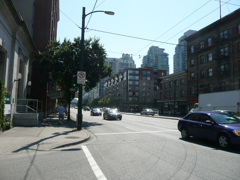
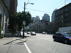 Main Street at Prior Street, looking south.
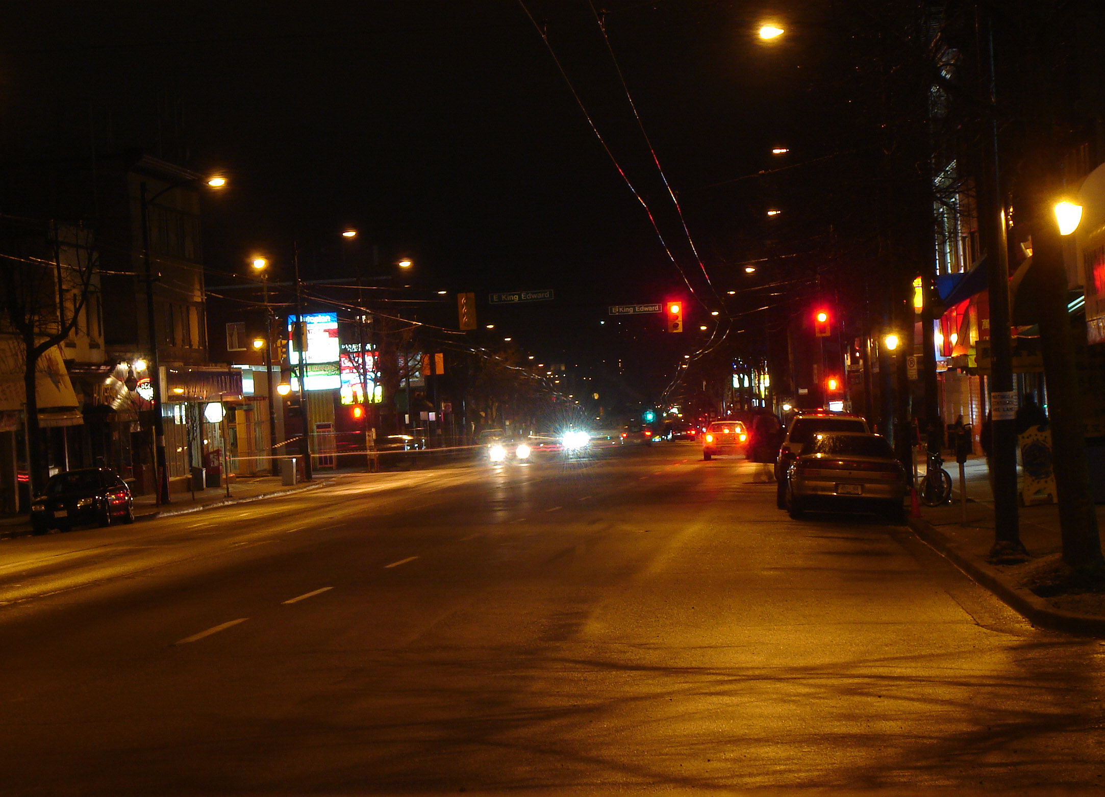
 Main Street at night near 26th Ave, looking north.
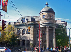 The Carnegie Centre at Main and Hastings.
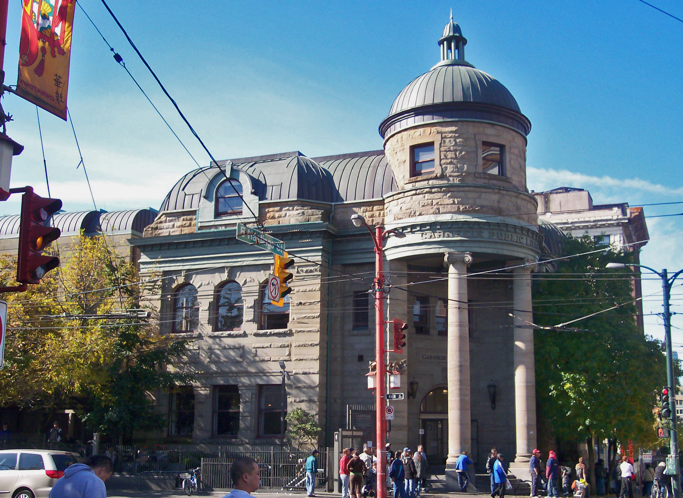
Main Street is a major north-south thoroughfare bisecting Vancouver, British Columbia, Canada. It runs from Waterfront Road by Burrard Inlet in the north, to Kent Avenue alongside the north arm of the Fraser River in the south.
Contents
Route
Beginning at Port of Vancouver terminals near the nexus of the city's historic Downtown Eastside and Gastown districts, the street passes south, intersecting Hastings Street and on through Chinatown. South of here, Main intersects the Georgia Viaduct and travels past the Pacific Central railway station and the Main Street-Science World SkyTrain station (the latter about a block away from Science World). At Terminal Avenue it rises into the Mount Pleasant neighbourhood of the city, and a mixture of small commercial and light industrial businesses. South of Broadway, the street passes through a mixed residential and commercial district. Formerly surrounded by blue-collar neighbourhoods, many of the establishments are now more upscale or hip, including many antique and vintage goods, cafes, etc.
Between 33rd Avenue and 41st Avenue, the street becomes decidedly more residential, and reaches its topographical summit near Nat Bailey Stadium and Queen Elizabeth Park. South of 41st, the street enters the Sunset neighbourhood, and takes on a markedly Indo-Canadian character. Just north of 49th Avenue Main begins to pass through the heart of the Punjabi Market district. South of here to Southeast Marine Drive, the street again becomes predominantly residential.
As the street approaches Marine, the character changes dramatically to large commercial establishments, notably a big-box Real Canadian Superstore supermarket. Just south of Marine to its southern terminus, the neighbourhood is a mixture of light and heavy industry and warehouses.
History
The north end of Main Street is located just west of the historic site of Hastings Mill, the nucleus around which Granville, later Vancouver, grew. In its earliest days, the intersection of Main and Hastings Streets was the centre of downtown Vancouver, boasting the city's central public library (now the Carnegie Centre) and — a few blocks away — the old City Hall. The intersection of Main and Hastings is now a local byword for the poverty, addictions, homelessness, and prostitution often associated with the Downtown Eastside.
The thoroughfare was originally named "Westminster Avenue", since it connects to New Westminster Road (now Kingsway). It received its present name in 1910[1] at the behest of local merchants, who thought that it bestowed a more cosmopolitan air to the neighbourhood.
Neighbourhoods
Main Street passes through the following Vancouver neighbourhoods (north to south):
- Downtown Eastside
- Old Japantown
- Chinatown
- Strathcona
- Mount Pleasant
- Riley Park-Little Mountain
- Punjabi Market
- Sunset
Intersections
The following are the major east-west intersections with Main Street (north to south):
- Cordova Street
- Hastings Street
- Georgia Viaduct
- Terminal Avenue
- Broadway
- 12th Avenue
- King Edward Avenue
- 33rd Avenue
- 41st Avenue
- 49th Avenue
- Southeast Marine Drive
References
External links
Roads in Vancouver North-south streets Boundary Road · Burrard Street · Cambie Street · Commercial Drive · Dunbar Street · Granville Street (Granville Mall) · Knight Street · Main Street · Oak Street · Ontario StreetEast-west streets Broadway · Davie Street · Georgia Street · Hastings Street · King Edward Avenue · Kingsway · Marine Drive · McGill Street · Robson Street · Water StreetExpressways and highways Categories:- Streets in Vancouver
Wikimedia Foundation. 2010.