- Naylor, Georgia
-
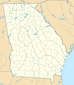
Naylor — Unincorporated community — Location within the state of Georgia Coordinates: 30°54′31″N 83°4′42″W / 30.90861°N 83.07833°WCoordinates: 30°54′31″N 83°4′42″W / 30.90861°N 83.07833°W Country United States State Georgia County Lowndes Population (1990) – Total 111 Time zone Eastern (EST) (UTC-5) – Summer (DST) EDT (UTC-4) ZIP codes 31641 FIPS code GNIS feature ID Naylor is an unincorporated community in Lowndes County, Georgia, United States.[1] The community was named after Captain Naylor, a railroad man.[2]
Geography
It is a circular area 1 mile in diameter located at the intersection of U.S. Route 84 and Georgia State Route 135. It is located approximately 9.5 miles east of Valdosta.
Demographics
As of the census of 1990, there were 111 people residing in the community. Naylor was unincorporated between the 1990 and 2000 census.
The community is in the 31641 zip code.
References
- ^ "US Gazetteer files: 2010, 2000, and 1990". United States Census Bureau. 2011-02-12. http://www.census.gov/geo/www/gazetteer/gazette.html. Retrieved 2011-04-23.
- ^ http://www.epodunk.com/cgi-bin/genInfo.php?locIndex=8113
Municipalities and communities of Lowndes County, Georgia Cities Town CDP Unincorporated
communitiesClyattville | Naylor
Categories:- Former municipalities in Georgia (U.S. state)
- Unincorporated communities in Georgia (U.S. state)
- Populated places in Lowndes County, Georgia
- Valdosta metropolitan area
Wikimedia Foundation. 2010.


