- Georgia State Route 32
Infobox road
state=GA
type=
route=32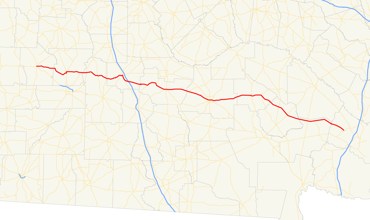
length_mi=
length_ref= [http://www.dot.state.ga.us/DOT/plan-prog/transportation_data/400reports/2002/dpp444_2002.pdf]
length_round=2
established=
direction_a=West
direction_b=East
starting_terminus=
junction=
ending_terminus=
previous_route=31
next_route=33State Route 32 is a west-east state route located in the southern part of the
U.S. state of Georgia. The route travels from S.R. 520 in Dawson east to S.R. 99 west of Sterling.Routing
From its western terminus in Dawson at S.R. 520, State Route 32 runs east to Leesburg, where it is briefly cosigned with U.S. 19/S.R. 3. The route continues east from Leesburg to Ashburn, where it becomes cosigned with State Route 112, then U.S. 41/S.R. 7. South of Ashburn, S.R. 32 departs U.S. 41/S.R. 7 and continues east. It serves as exit 78 for
Interstate 75 southeast of Ashburn, then continues east. The route cosigns with S.R. 125 for several miles before arriving in Ocilla. The route continues east from Ocilla, passing through Douglas, Alma, and sparsely populated areas in the southeast portion of the state before arriving at its eastern terminus at S.R. 99 west of Sterling.ignificance
A largely rural route, State Route 32 sees only minor traffic except around Douglas. Much of the route sees an Average Annual Daily Traffic of 10,000 vehicles or less. [http://www.dot.state.ga.us/dot/plan-prog/transportation_data/mapproducts/Documents/Trafficflow_05.pdf]
Banner routes
State Route 32 has one banner route, Georgia State Route 32 Connector, a short connector route near Ashburn.
References
Wikimedia Foundation. 2010.