- Georgia State Route 24
Infobox road
state=GA
type=
route=24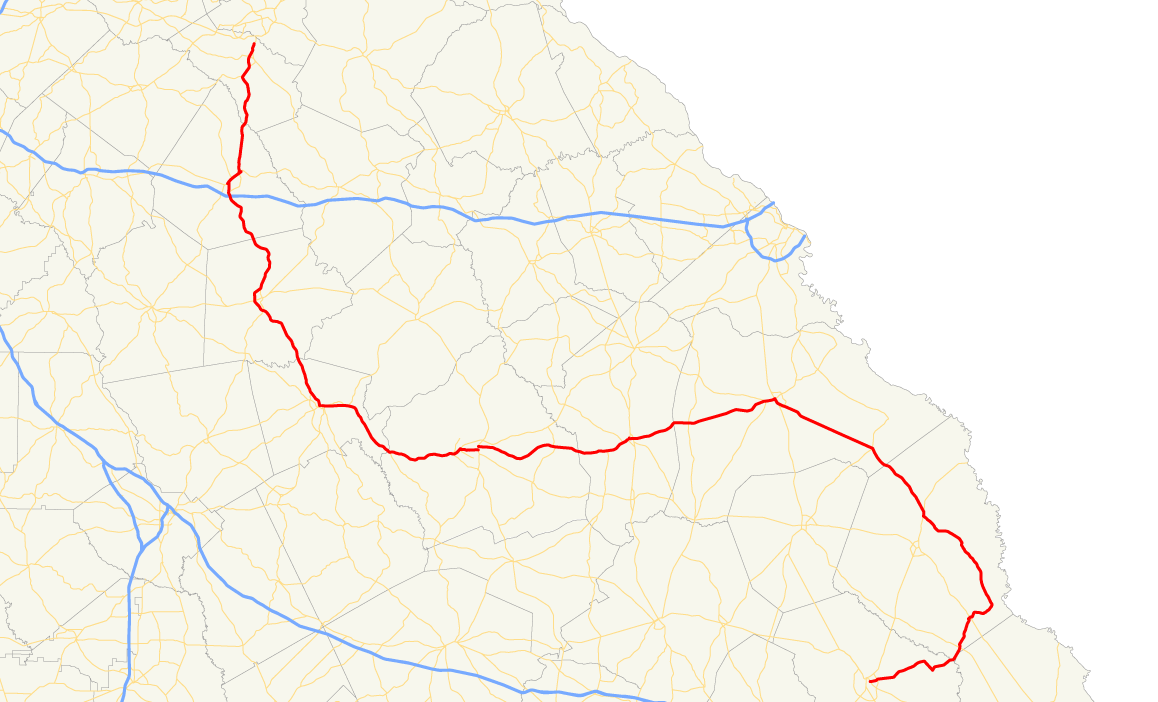
length_mi=
length_ref=Fact|date=April 2007
length_round=0
established=
direction_a=South
direction_b=North
starting_terminus=
junction=
ending_terminus=
previous_route=23
next_route=25State Route 24 is a
state highway in theU.S. state of Georgia. It runs from State Route 15 north of Watkinsville south to Milledgeville alongU.S. Highway 441 , east to Waynesboro, and southeast and southwest to end at State Route 26/U.S. Highway 80 in Statesboro.Initially SR 24 ran from Watkinsville to Louisville. It turned northeast there, running into Augusta on present State Route 4/U.S. Highway 1. Current SR 24 was State Route 20 from Louisville east to Waynesboro and unnumbered the rest of the way. [
Rand McNally , [http://www.libs.uga.edu/darchive/hargrett/maps/1923a8.jpg1923 Auto Trails Map of Georgia] ] [Clason Map Company , [http://www.libs.uga.edu/darchive/hargrett/maps/1924m5.jpg1924 Midget Map of the Best Roads of Georgia] ]Banner routes
Georgia State Route 24 has multiple business
banner route s, two of which are located inEatonton and Madison. In those two towns, GA 24 Business follows US 441 Business and US 129 Business.References
Wikimedia Foundation. 2010.