- Orroroo, South Australia
-
Orroroo
South Australia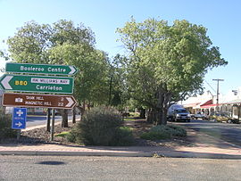
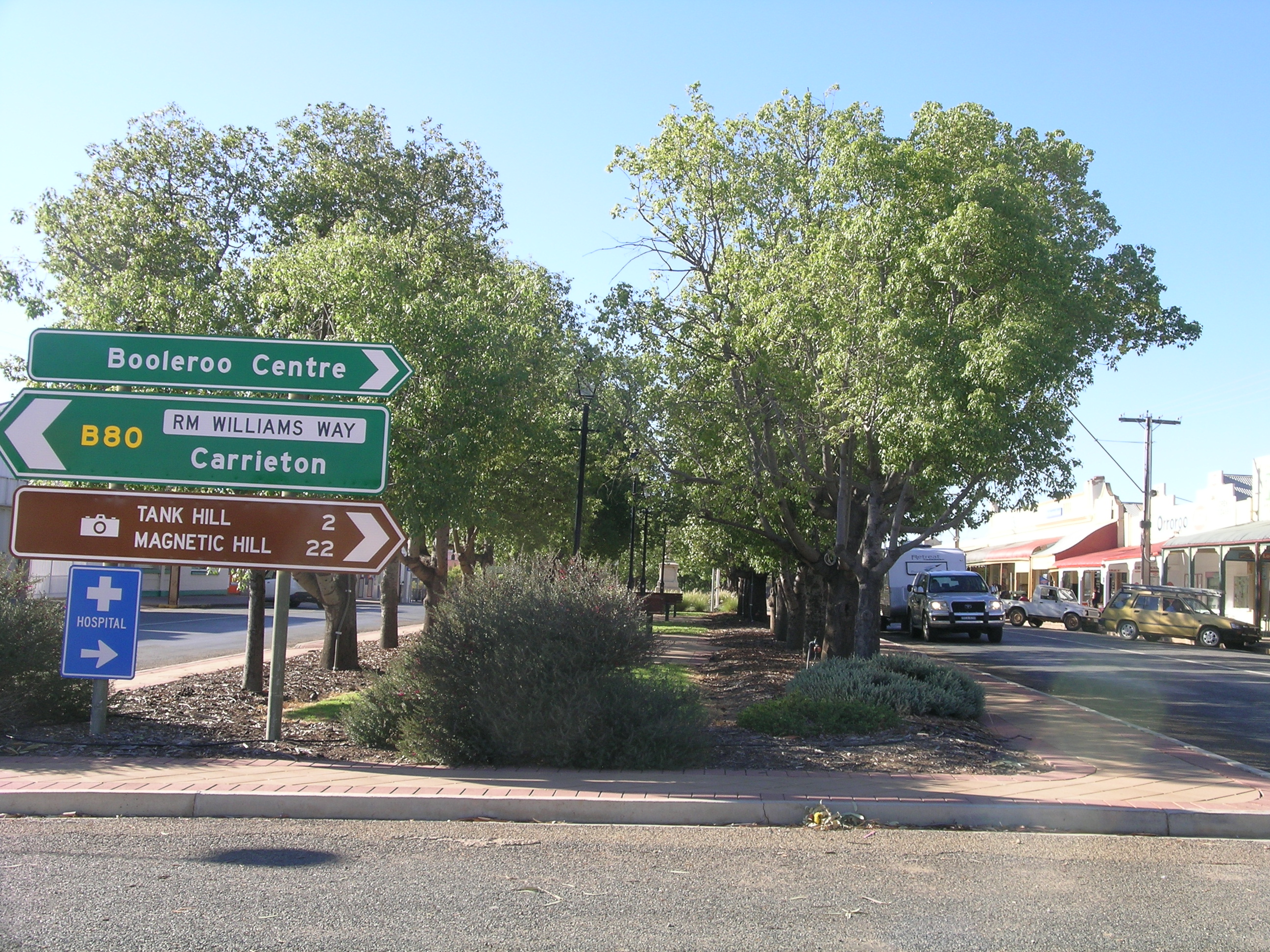
The main street of Orroroo.
 Orroroo
Population: 543 (2006 census) Postcode: 5431 Elevation: 428 m (1,404 ft) Location: - 270 km (168 mi) N of Adelaide
- 120 km (75 mi) NE of Port Pirie
- 100 km (62 mi) NW of Port Augusta
LGA: District Council of Orroroo Carrieton State District: Stuart Federal Division: Grey Orroroo is a town in the Flinders Ranges region of South Australia. At the 2006 census, Orroroo had a population of 543.[1] The Wilmington-Ucolta Road passes through here, intersecting there with the southern stretch of the Birdsville and Oodnadatta Tracks. The narrow gauge rail line was extended to Orroroo also in 1881 and Quorn in 1882, connecting with the new line from Port Augusta. This line has now been abandoned. Orroroo is situated near Goyder's Line, a line drawn up in 1865 by Surveyor General Goyder which he believed indicated the edge of the area suitable for agriculture.
Contents
History
Prior to European settlement, Orroroo was the home of the Ngadjuri Aboriginal people whose domain was the area to the east of the Flinders Rangers. The name Orroroo is believed to have Aboriginal origins, but the true meaning of the word is uncertain. The name was first used by an early pioneer who conducted a nearby coaching house which served travellers on the Burra-Blinman track.
In 1844, the first Europeans to settle, John and James Chambers, took up the Pekina Run which covered 320 square miles. They did not receive a millimetre of rain during the 17 months that they lived there. As a result of this drought, they sold the Pekina Run for £30.
Charlie Easther settled in Orroroo during 1864 and opened up an eating house that became a popular stopping point for the drovers and bullockys who travelled through the area. The town was surveyed in 1875, when Solly's Hut, a clay-pugged log structure, was constructed as the town's first house and is now used as a museum. In September 1875, the town was officially named by George Goyder following the suggestion made by Charlie Easther. The first land sales were made in May 1876. The town's council offices were constructed in 1888.[2]
On 24 August 1923, 230-volt electricity was connected to the town by Cr Martin Redden, Chairman of the District Council, in the presence of a large crowd. On 4 July 1962, the power house engines were shut down to change to AC power which gave the houses standard 240-volt power.[3]
An early irrigation scheme was formed after damming the Pekina Creek and creating the Pekina reservoir. Water from here was supplied to over 50 dairy farms. Orroroo had its own flour mill, several bakeries, carriage manufacturer and a butter factory, which still stands.[4]
Orroroo is the service centre for a predominantly farming community with the main products being wheat, sheep, cattle, pigs and a kangaroo processor.
A local curiosity is nearby called "Magnetic Hill", which is a gravity hill.[5]
Orroroo Fire Service
The Orroroo Country Fire Service (CFS) is the volunteer fire service of Orroroo. They are part of the Black Rock CFS Group.
Well known residents
- Rex Ingamells, poet, and founder of the Jindyworobak Movement, born in Orroroo.
- Hooper Brewster-Jones, an Australian composer, born in Orroroo.
- John O'Dea, an Australian country singer, born in Orroroo.
- John Mannion, historian and writer, born and resides just south of Orroroo at Pekina.
- Luke Tapscott, Footballer for Melbourne in the Australian Football League, born in Orroroo.
References
- ^ Australian Bureau of Statistics (25 October 2007). "Orroroo (L) (Urban Centre/Locality)". 2006 Census QuickStats. http://www.censusdata.abs.gov.au/ABSNavigation/prenav/LocationSearch?collection=Census&period=2006&areacode=UCL419800&producttype=QuickStats&breadcrumb=PL&action=401. Retrieved 2007-12-13.
- ^ Reader's Digest Illustrated Guide to Australian Places. Sydney, NSW: Reader's Digest. 1993. pp. 535. ISBN 0 86438 399 1.
- ^ "History". District Council of Orroroo. http://www.orroroo.sa.gov.au/site/page.cfm?u=295. Retrieved 21 May 2011.
- ^ "Orroroo". District Council of Orroroo. http://www.orroroo.sa.gov.au/site/page.cfm?u=266. Retrieved 21 May 2011.
- ^ Magnetic Hill - Peterborough - South Australia
External links
Categories:- Towns in South Australia
- Gravity hills

Wikimedia Foundation. 2010.