- Nagoya Municipal Subway
-
Nagoya Municipal Subway 
Nagoya Municipal Subway LogoInfo Locale Nagoya Transit type Rapid Transit Number of lines 7 Number of stations 83 Daily ridership 1,171,289 Website kotsu.city.nagoya.jp Operation Began operation 1957 Operator(s) Transportation Bureau City of Nagoya Technical System length 89.1 km (55.4 mi) Track gauge 1,435 mm (4 ft 8 1⁄2 in)
1,067 mm (3 ft 6 in)System map 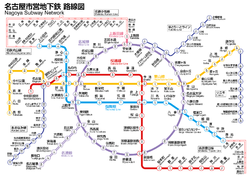
Map of Nagoya Municipal SubwayNagoya Municipal Subway (名古屋市営地下鉄 Nagoya Shiei Chikatetsu) is the subway system that serves the Nagoya, Aichi, Japan area. Like other large Japanese cities, Greater Nagoya's subways are heavily complemented by suburban rail, forming an extensive network of 47 lines rivaling cities such as New York and London (see Transport in Greater Nagoya). The Nagoya Municipal Subway represents 38% of Greater Nagoya's total rail ridership of 3 million passengers a day.[1] It is operated by Transportation Bureau City of Nagoya. It has six lines, and fares currently range between ¥200-¥320.[2] Approximately 90% of the total track length is underground. In 2002, the system introduced Hatchii as its official character.
Contents
Lines
Color & Icon Name Mark First section
openedLast ex-
tensionLength Stations yellow 
Line 1 Higashiyama Line H 1957 1982 20.6 km (12.8 mi) 22 purple 
Line 2 Meijō Line M 1965[Note 1] 1971 8.9 km (5.5 mi) 12[Note 2] Line 4 1974[Note 3] 2004 17.5 km (10.9 mi) 17[Note 2]  purple & white
Line 2 Meikō Line E 1971[Note 4] - 6.0 km (3.7 mi) 7[Note 5] blue 
Via trackage rights Meitetsu Inuyama Line - 1993[Note 6] - 21.4 km (13.3 mi) 13[Note 7] Line 3 Tsurumai Line T 1977 1993 20.4 km (12.7 mi) 20 Via trackage rights Meitetsu Toyota Line - 1979[Note 8] - 15.2 km (9.4 mi) 8[Note 9] Meitetsu Mikawa Line N/A[Note 10] - 1.4 km (0.87 mi) 2[Note 9] red 
Line 6 Sakura-dōri Line S 1989 2011 19.1 km (11.9 mi) 21 pink 
Via trackage rights Meitetsu Komaki Line - 2003[Note 11] - 18.3 km (11.4 mi) 13[Note 12] 2003[Note 13] - 2.3 km (1.4 mi) 2[Note 14] Line 7 Kamiiida Line K 2003[Note 15] - 0.8 km (0.50 mi) 2[Note 16] Notes
- ^ Between Ōzone Station, Sakae Station and Kanayama Station (Aichi)
- ^ a b Including Ōzone Station
- ^ Between Ōzone Station, Nagoya Daigaku Station and Kanayama Station (Aichi)
- ^ Between Kanayama Station (Aichi) and Nagoyako Station
- ^ Including Kanayama Station (Aichi)
- ^ Between Inuyama Station and Kamiotai Station
- ^ Including Kamiotai Station
- ^ Between Akaike Station and Umetsubo Station
- ^ a b Including Akaike Station
- ^ Between Umetsubo Station and Toyotashi Station
- ^ Between Inuyama Station and Ajima Station
- ^ Including Ajima Station
- ^ Owned by Kamiiida Link Line between Ajima Station and Kamiiida Station
- ^ Including Ajima Station and Kamiiida Station
- ^ Owned by Kamiiida Link Line between Kamiiida Station and Heian-dori Station
- ^ Including Kamiiida Station
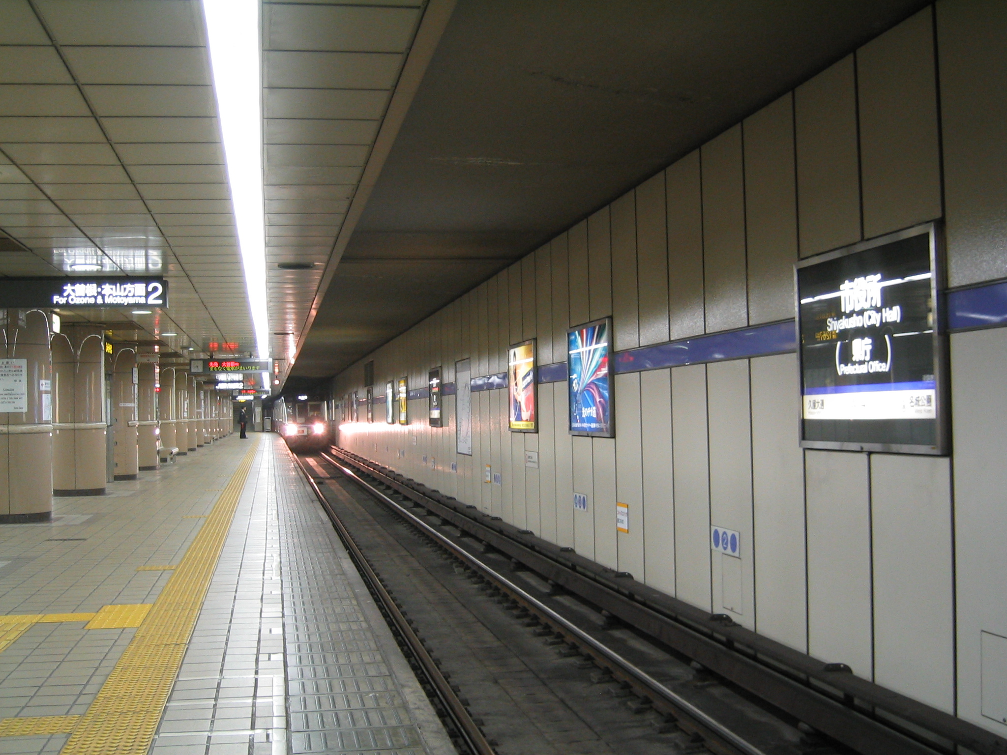
 Platform of Shiyakusho Station
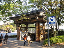 Entrance to Shiyakusho Station
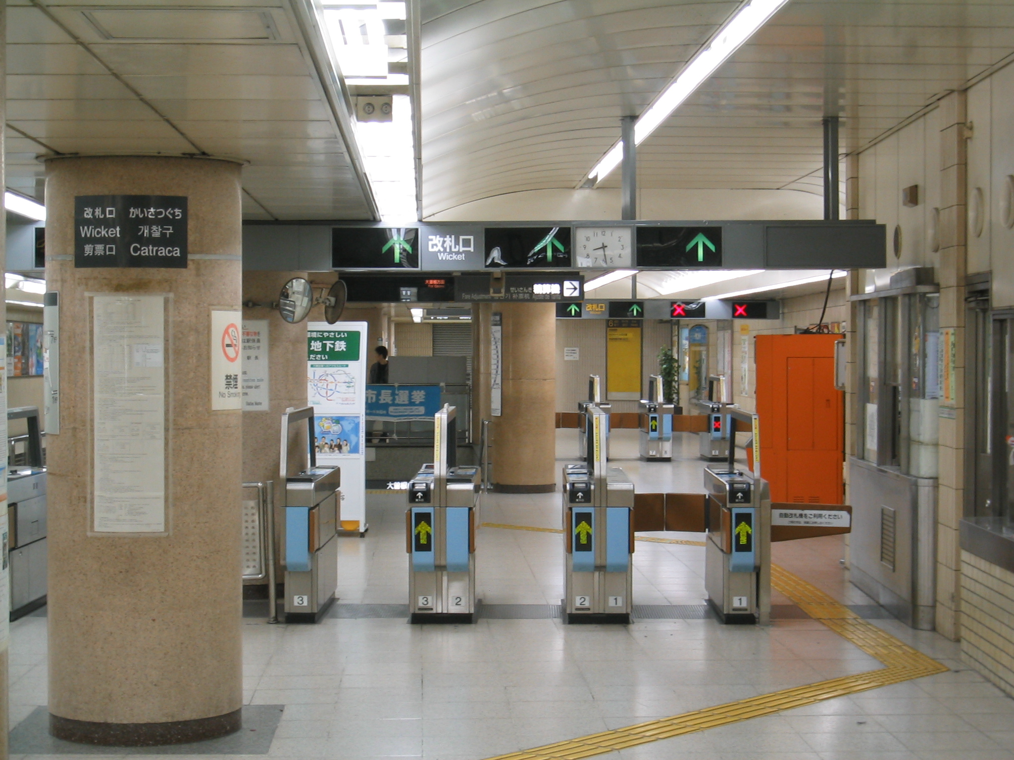
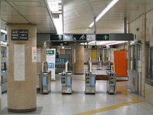 Ticket gates
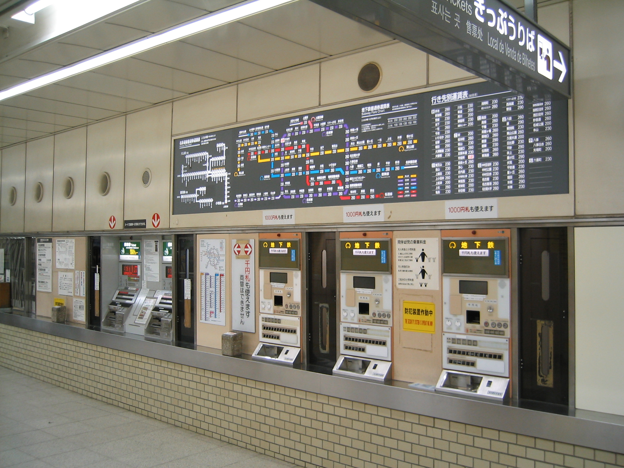
 Ticket vending machines
Connections to other train lines
JR Central
- (for Shin-Yokohama, Tokyo, Kyoto and Shin-Osaka)
- Tōkaidō Main Line: at Nagoya and Kanayama
- (for Gifu, Ōgaki, Obu, Kariya, Okazaki, Toyohashi and Hamamatsu)
- Chūō Main Line: at Nagoya, Kanayama, Tsurumai, Chikusa and Ōzone
- (for Kozoji (transfer to former Expo Site), Tajimi and Nakatsugawa)
- Kansai Main Line: at Nagoya and Hatta
- (for Yokkaichi, Tsu and Kameyama)
- Takayama Main Line: at Nagoya
- (Limited Express only, for Gero and Takayama)
Meitetsu
- Nagoya Line: at Nagoya and Kanayama
- (for Meitetsu Gifu, Chiryu, Hekinan, Nishio, Higashi Okazaki, Toyohashi and Toyokawa Inari)
- Tokoname Line: at Nagoya and Kanayama
- (for Otagawa, Chita Handa, Kowa, Utsumi, Tokoname and Central Japan Int'l Airport)
- Inuyama Line: at Nagoya,Kanayama and Kami-Otai
- (for Iwakura, Inuyama, Mikakino and Shin Kani)
- Tsushima Line: at Nagoya and Kanayama
- (for Tsushima, Saya and Yatomi)
- Seto Line: at Sakae and Ōzone
- (for Owari Seto)
- Toyota Line: at Akaike
- (for Toyotashi)
- Komaki Line: at Kamiiida
- (for Komaki, Inuyama)
Kintetsu
- Nagoya Line: at Nagoya and Hatta
- (for Yokkaichi, Tsu, Nakagawa, Matsusaka, Ise, Toba and Osaka)
- Aonami Line: at Nagoya
- (for Kinjo-Futo (Nagoya International Exhibition Hall))
Fares
Tickets can be purchased from ticket vending machines in stations. An integrated ticketing system, Tranpass, is available and also can be used at all municipal subway stations and for connected transportations systems such as Meitetsu lines, as well as others.[3] Starting on February 11, 2011, a magnetic fare card called manaca will supplement and replace Tranpass.
See also
References
- ^ http://www.mlit.go.jp/kisha/kisha07/01/010330_3/01.pdf
- ^ "料金 [Ticket Price]" (in Japanese). Bureau of Transportation City of Nagoya. http://www.kotsu.city.nagoya.jp/subway/sub_price/sub_ticketprice.html. Retrieved 25 November 2010.
- ^ "Tickets - Nagoya Transportation Bureau". http://english.jr-central.co.jp/company/company/achievement/transportation/index.html.
External links
 Media related to Nagoya Subway at Wikimedia Commons
Rapid transit systems in Japan Public Private Saitama Rapid Railway Line · Tokyo Metro · Rinkai Line · Minatomirai 21 Line · Kōbe Rapid Transit RailwayMass transit in Nagoya (Chūkyō)  Municipal Subway lines
Meitetsu lines Kintetsu lines (Chūkyō)  JR Central lines
Other lines Miscellaneous Terminals: Kanayama • Kintetsu Nagoya • Meitetsu-Nagoya • Nagoya • Ōzone • Sakae
Cards: Manaca • TOICA • Tranpass
Other: Transportation Bureau City of Nagoya • Transport in Greater NagoyaCategories:


Wikimedia Foundation. 2010.